Site logo
    • Explore
      • Blue-Blaze Trails
      • Land Trusts
      • State Parks and Forests
      • By Town
    • exploreCT+
      • Membership
      • Shop
      • Events
    • Blog
    • Town Guides
    Sign in or Register
    Listing cover image

    Mary Edwards Mountain Property

    • Trails
      4 miles
    • Rating
      ★★★☆☆
    • Address
      200 Mountain Rd, North Granby, CT 06060, USA
    • Explore
    • Trail Map
    • Reviews 0
    • New Page
    • prev
    • next
    • Bookmark
    • Share
    • Get directions
    • Report
    • prev
    • next
    At A Glance

    Granby Land Trust

    200 acres in Granby, CT

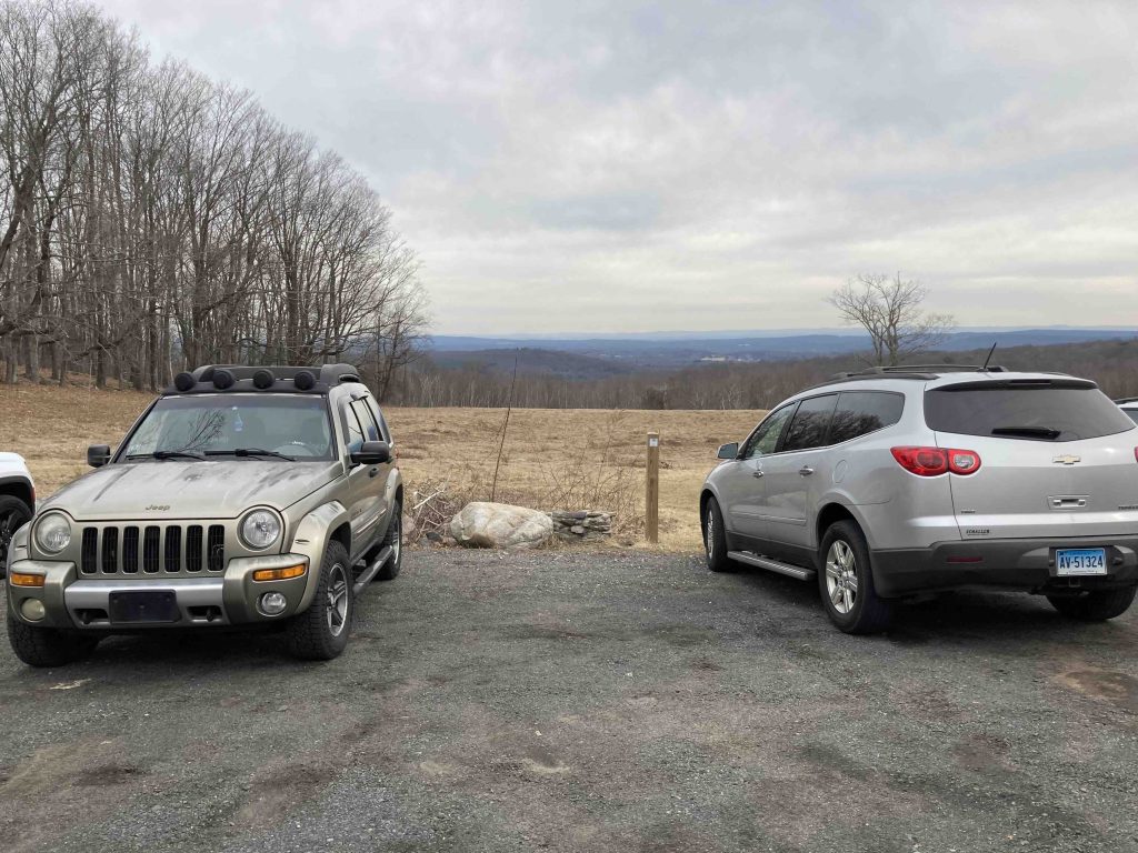
    Parking: Small pull-off near 200 Mountain Rd, North Granby, CT

    Trail Map             Trails: 3.83 miles        Rating: ★★★☆☆

    The Mary Edwards Mountain Property is true to its name with hiking trails over three treed summits and through the valleys between them.  Early views kicks things off before heading off onto remote feeling trails with an option to extend the hike a the adjacent Godard Preserve.

    Hiking

    The parking area of Rt. 539 offers the first great view of the property looking northeast over to the Springfield skyline.  A mowed path heads down through the field around a picturesque tree.

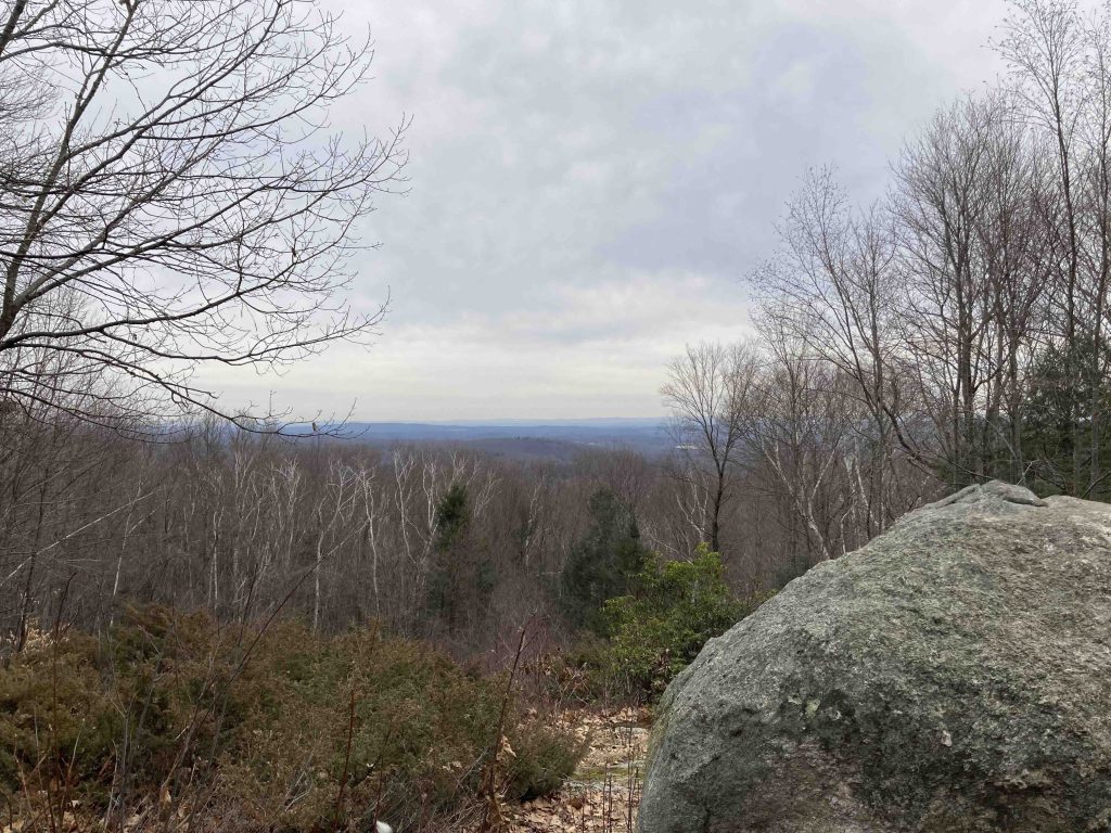
    The main trail into the preserve is blazed blue passing through a small clearing that undoubtably held the property’s former home.  Just past this clearing is the second overlook with a small erratic named ‘Mary’s Rock’, the view is essentially the same as at the parking area.

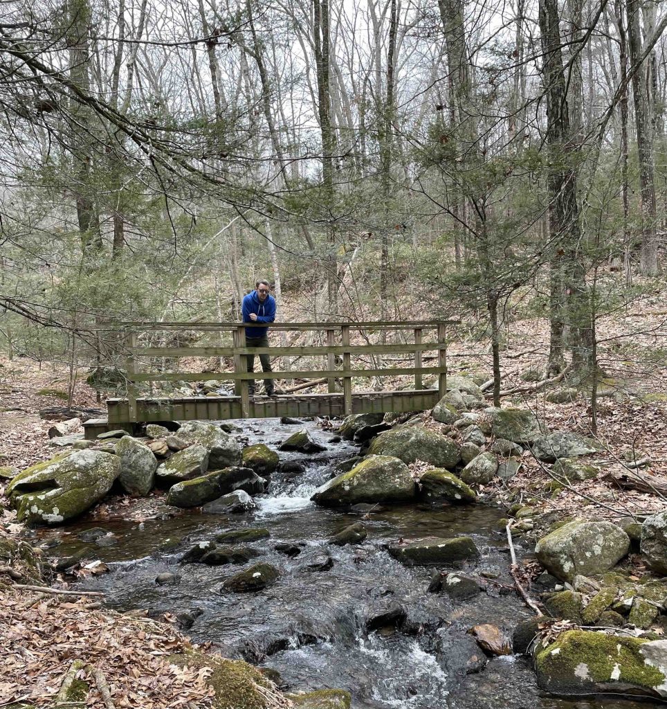
    Just beyond this the trail splits with the blue blaze heading downhill to connect to the adjacent Godard Preserve and the Yellow blazed trail which digs into the hiking loops here.  Hopping on the yellow trail quickly forks as well both heading downhill off the hill of Mary’s Rock.  I took the right fork which meanders down to Ring Brook with picturesque little cascades tumbling over rocks on either side of a wooden bridge.  You could follow the brook upstream to follow the yellow loop but I wanted the full experience so I hiked the Orange Trail onto the the Red trail with a very steep climb up to a second hill summit.  Despite the height there are only mediocre wooded views down to houses off Lost Acre Road.

    Descending through saddleback trail to the yellow blazed Northwest Loop which summits a third hill but this time without the steep climb or any views to speak of.

    Working back to complete this outer loop passed interesting rocks, tipped trees, and one curious spot with a full bird chorus among the pines.  It was also interesting that all trail blazes are metal arrows and every single one has been scratched around the edges to varying degrees. I’m sure there’s a fairly innocuous explanation involving birds or squirrels but it is every. single. blaze. for miles. both here and at Godard.

    I was also told by a fellow hiker that a black bear had been spotted several times in the area of the brook during summer 2022.

    All I know is I sure would have loved to hike this property with Mary Edwards and hear her stories of stewarding the land.

    History

    Preserved in 2000.

    Links

    CTMQ – GLT: Mary Edwards Mountain Property (2014)

    Peter Marteka – Hiking with a View at a Mountain Preserve (2008)

    Tags
    • ★★★☆☆
    • 2023
    • Explored
    • Granby
    • Granby Land Trust
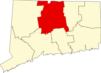
    • Hartford County
    • Overlooks
    Last Updated

    The information shown here is for general reference purposes only. exploreCT.org gives no warranty, expressed or implied, as to the accuracy or reliability of this data. Parking in all areas, whether designated here or not, is at your own risk. exploreCT.org is not responsible for any damage or loss to vehicles or contents. Last updated February 19th, 2023

    Trail Map
    Location
    • 200 Mountain Rd, North Granby, CT 06060, USA

      Get Directions
    Gallery
    Video
    Categories
    • Hiking
    Gallery
  • No comments yet.
  • Add a review

    Leave a Reply · Cancel reply

    Your email address will not be published. Required fields are marked *

    Overall Rating

    You May Also Be Interested In

    Spruce Brook Falls

    • ★★★★★
    • 16 miles
    Featured
    FW6F+CW Beacon Falls
    • Quick view
    • Bookmark

    Thach Preserve

    • ★★☆☆☆
    • 1 miles
    123 Brush Hill Rd
    • Quick view
    • Bookmark

    Mendell's Folly

    • ★★★★☆
    • 3.8 miles
    390 Beacon Rd
    • Quick view
    • Bookmark

    Hi, I’m Matt.

    I’m building ExploreCT to be the guide for all your outdoor adventures. All the trails, views, and waterways this great state has to offer.

    Now get out and explore!

    Monthly Newsletter

    Each month I share site updates or an interesting article in my newsletter. It’s short, sweet, and practical.

    600+ explorers read it, I’d love for you to join.

    Thank you!

    You have successfully joined our subscriber list.

    X-twitter Youtube Envelope Instagram

    Cart

      • Facebook
      • X
      • WhatsApp
      • Telegram
      • LinkedIn
      • Tumblr
      • Reddit
      • VKontakte
      • Mail
      • Copy link
      • Share via...
      • Threads
      • Bluesky