Franklin Swamp WMA: Mahoney Pond

Connecticut Wildlife Management Area

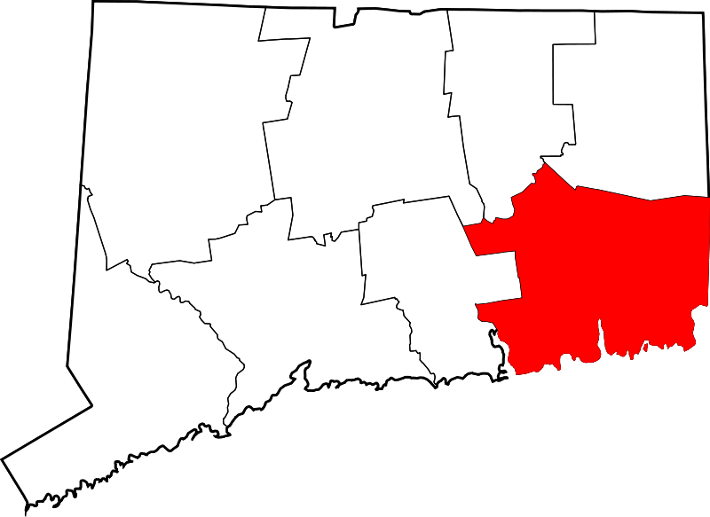
50 acres in Franklin, CT

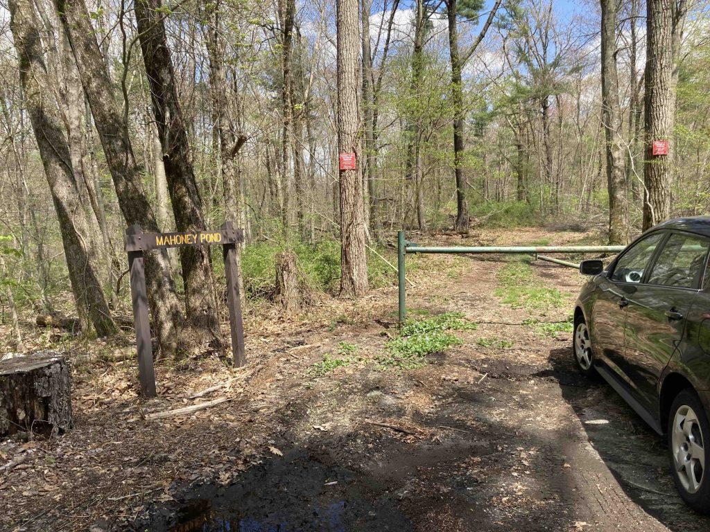
Parking: Tiny pull off on Under the Mountain Rd, Franklin, CT

Trail Map        Trails: 1.5 miles      Rating: ★★☆☆☆

Screenshot


It’s unlikely that you’ll ever seek out this short loop, more popular with hunters than hikers.  Mahoney Pond is a part of the larger Franklin Swamp Wildlife Management Area.

Hiking

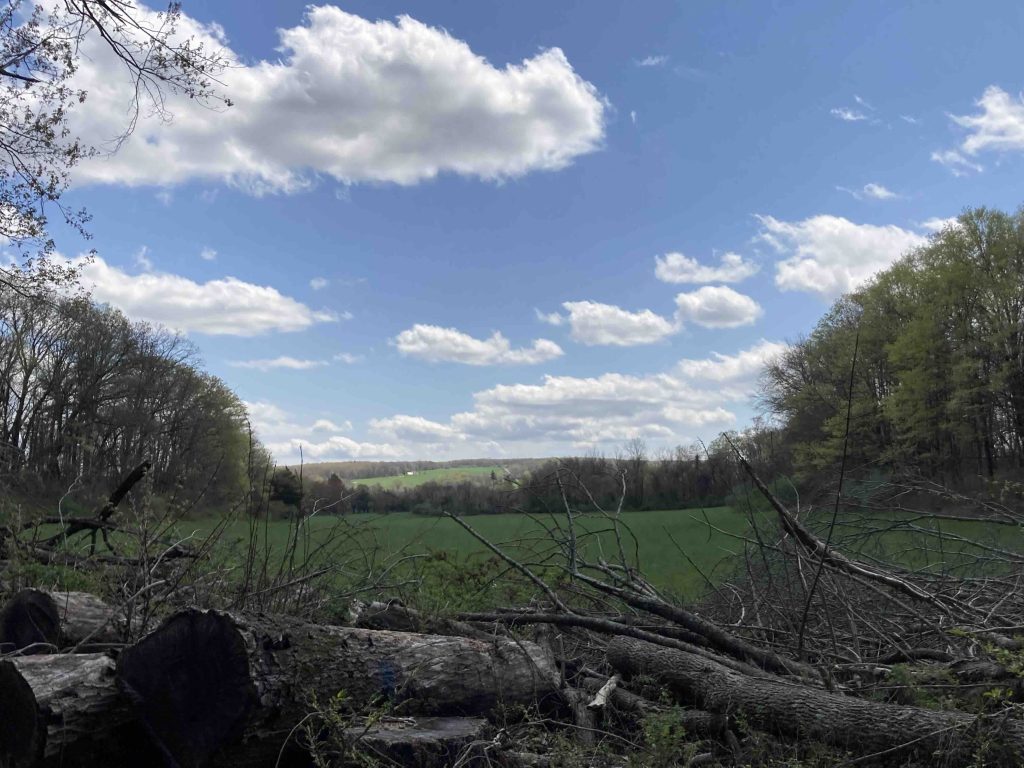
I started my hike from the small gated pull-off just north of the large open fields on the trail map above.  The trail is more of a dam access road so offers wide easy access and a nice view southeast over the fields.  The forest has had active management in the last few years so the trail is lined with a number of felled trees.  Working your way down a steep gravel bank is the dam and outflow of Mahoney Pond.

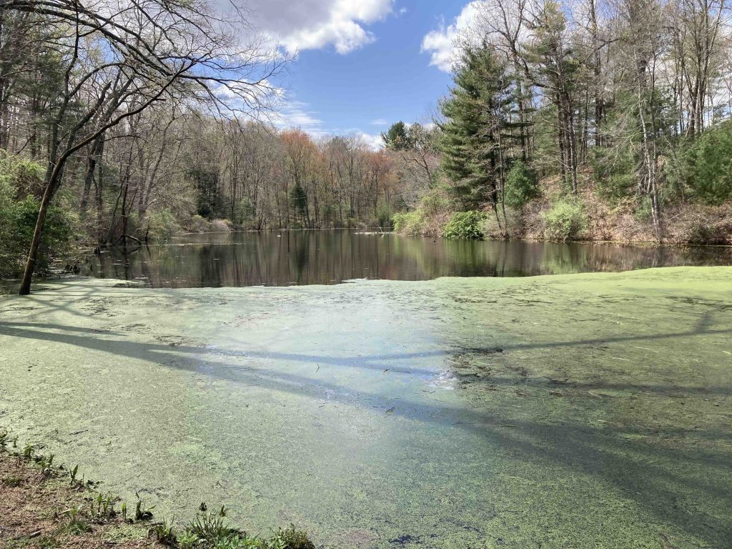
The pond was swelled from recent heavy rains and I scared off a great blue heron who was fishing below the spillway.  Despite the high water the spillway was easy to hop across and continue on into the forest.  The forest changes to a denser pine and actually has a split off trail however both lead back to the other gated entrance farther north on Under the Mountain Road. This area was clear cut in early 2024 as part of the forest management plan.

You could complete the loop as long as you don’t mind a road walk (Under the Mountain is pretty quiet) but I chose to retrace my steps to take in the pond one more time.  Those heavy rains must have cleared the pond for such a nice view, however on my spring 2024 visit the pond was covered in duckweed.

History:


Links:

The information shown here is for general reference purposes only. exploreCT.org gives no warranty, expressed or implied, as to the accuracy or reliability of this data. Parking in all areas, whether designated here or not, is at your own risk. exploreCT.org is not responsible for any damage or loss to vehicles or contents.
Last updated May 20th, 2024

Visited 714 times, 2 Visits today

Related Listings

Nathaniel Lyon Memorial State Park

★★☆☆☆

41.847478, -72.083341

Nathaniel Lyon Memorial State Park Connecticut State Park 5 acres in Eastford, CT Parking:  Small lot along Kingsbury Rd Eastford, CT Trail Map        Trails:…

Hopemead State Park

★★☆☆☆

41.517336, -72.217250

Hopemead State Park Connecticut State Park 60 acres in Bozrah and Montville, CT Parking: Small lot near 28 Cottage Road, Bozrah, CT  Trail Map     Trails: Less…

Nipmuck Trail: Pixie Falls

★★☆☆☆

41.902388, -72.164776

Nipmuck Trail : Pixie Falls / Natchaug Trail: North Terminus Connecticut State Forest and Blue-Blaze Trail in Ashford, CT Parking: South End: Small pull-off near 32 Iron Mine…