Photos

Description

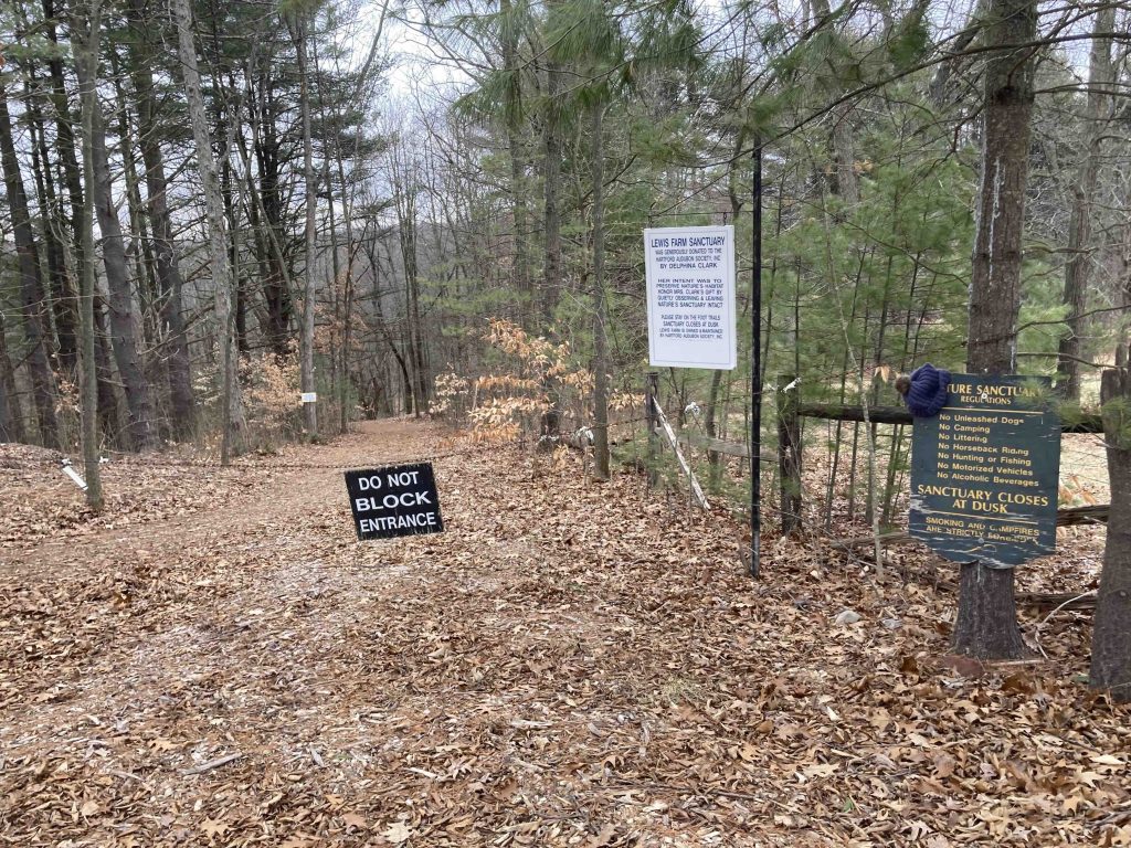
Lewis Farm Bird Sanctuary

Audubon Property

89 acres in Suffield, CT

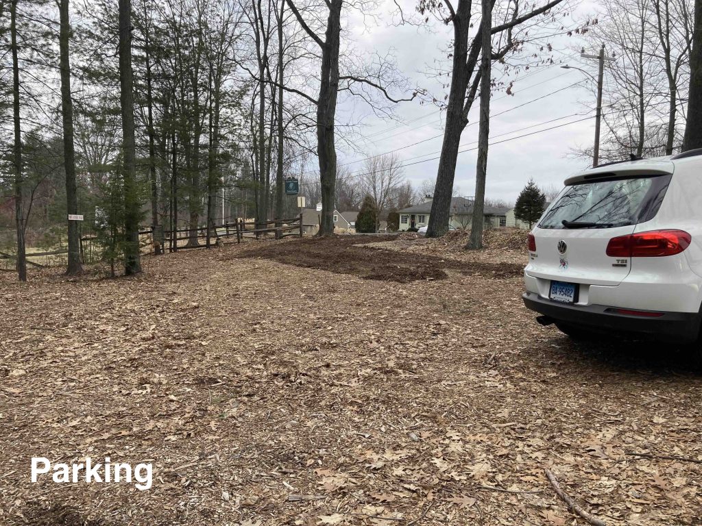
Parking: Small lot near 1015 Hill Street, Suffield, CT

Trail Map         Trails: 3 miles      Rating: ★★☆☆☆


The Lewis Bird Sanctuary starts on near the summit of the Hastings Hill Historic District.  Views across the road to the east are quite nice however The trails quickly descend 150′ in the wrong direction on the other side.  From the hill the property quickly turns into a bit of a swampy area as the former farm roads head down to cross a seasonal stream.

The trail opens into a small clearing with a second trailhead kiosk with a hand painted trail map.  From this clearing you can access the short blue and green trail loops.  One leads south down a corridor of pines to a view of farm fields and a stately house. before looping back in one or the other direction.

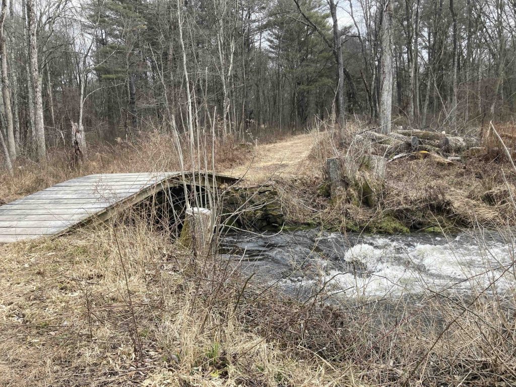
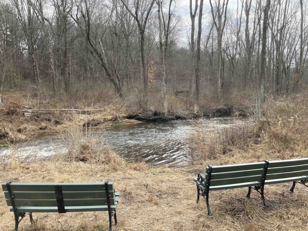
Past the trailhead you will cross Muddy Brook which was running swift on my January 2023 visit from recent rains.  The bridge is an interesting curved design and crosses to a pair of benches sponsored by/memorialized to Audubon patrons.  Across this brook is a second set of looping trails.  The best traveled is the main white trail which soon joins the outer red loop.  The backside of the red loop gets awkwardly close to private property off Spruce Street but other than that is a very woodsy remote feeling loop.

The other inner cross trails seem to be less traveled but all provide different looping options though there doesn’t seem to be a destination reasons for the different trails.  I think an average hike here would be 1.5-2 miles before working back uphill to the parking area.

History:

The white trail is named the Alex Bergstom Trail in memory of E. Alexander Bergstrom, president of the Hartford Audubon from 1953-55.

Lewis Farm formerly grew tobacco likely at least through early 1900s.


Links:

The information shown here is for general reference purposes only. exploreCT.org gives no warranty, expressed or implied, as to the accuracy or reliability of this data. Parking in all areas, whether designated here or not, is at your own risk. exploreCT.org is not responsible for any damage or loss to vehicles or contents.
Last updated January 30th, 2023

Visited 733 times, 3 Visits today

Related Listings

Westfield Falls

★★★☆☆

41.580506, -72.714953

Westfield Falls Middletown Town Park 4 acres in Middletown, CT Parking: Shoulder parking near 267 Miner St Middletown, CT Trail Map           Trails: 0.3…

Bailey’s Ravine

★★★☆☆

41.633853, -72.137734

Bailey’s Ravine at Ayers Gap Preserve The Nature Conservancy Property managed by the Town of Franklin 80 acres in Franklin, CT Parking: Small pull off at 291 Pond… Read more…

West Hartford Reservoir #6

Unexplored

41.792957, -72.784447

West Hartford Reservoir #6 Metropolitan District Water Supply Watershed in West Hartford and Bloomfied, CT Parking: Medium sized lots near 3070 Albany Ave, West Hartford, CT Trail…