Kinne Preserve

Canterbury Town Park

28 acres in Canterbury, CT 06331

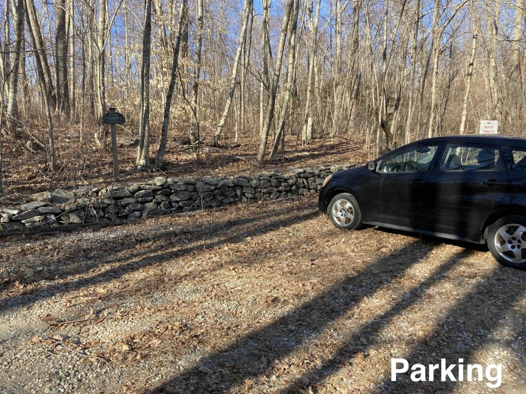
Parking: Small lot near the end of Wisniewski Rd, Canterbury, CT

Trail Map             Trails: 1 mile             Rating: ★★☆☆☆


I visited the Kinne Preserve in late winter after reading CTMQ’s account of his summer 2019 visit.

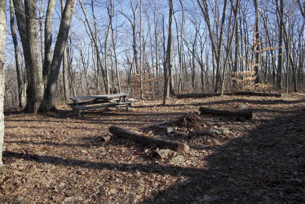
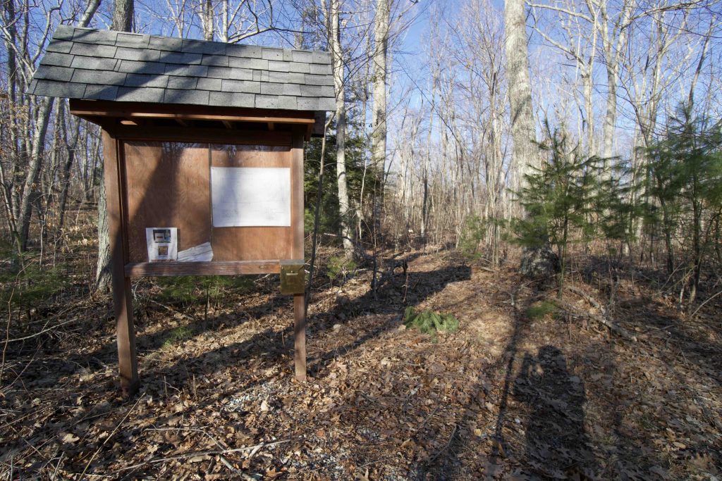
It could have been the winter season that made the trail clearer, but it also appeared that nearby houses were making use of and improving the trails near them. I took the left fork not far after the trailhead kiosk and spotted the picnic tables added in late 2010. Ten years of growth have completely blocked them from the trail and they sit among a thicket of young trees.

It seems as though this area has been hit hard by the gypsy moth infestations with all the older trees dead. This opening of the canopy has allowed tons of young trees to start growing in the first half of he loop which is likely the reason the trail was hard to follow on CTMQ’s 2019 visit.

At about a third of a mile I reached the campsite which appears to be well cleared flat area with a robust fire pit between a small rock ledge and a long slope. From the camping area the trail can be taken to the right back towards the parking area for a short loop. Or taken to the left downhill to an unnamed brook. This trail section is supposed to be blazed white but I didn’t see a single blaze, thankfully it was easy enough to follow.

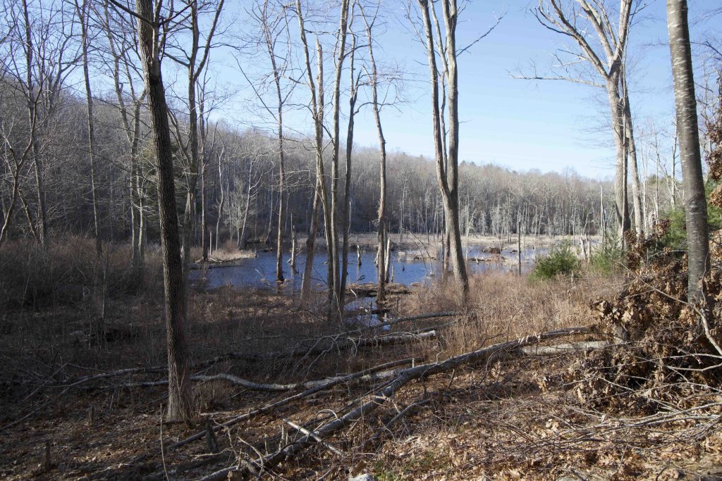
At the bottom of the hill the trail heads off in all directions (likely connections made by nearby private property owners). Towards the brook is a nice view of a small pond. The trail officially follows the brook south until reaching a row of pines and old barbed wire fencing. This can be followed back to the parking area to complete the 1 mile outer loop.

History:

Originally established in October 1976 as a Bicentennial Park. The land was donated by Arthur and Dorothy Kinne (Arthur was a member of the town’s Bicentennial Commission). Arthur Kinne, a member of the town’s Bicentennial Commission, and his wife Dorothy donated both the land for the preserve and access road.

The preserve was refreshed in 2011 thanks to Eagle Scout Ricky Ross who built the trailhead kiosk and a pair of picnic tables after clearing and mapping the trails.


Links:

The information shown here is for general reference purposes only. exploreCT.org gives no warranty, expressed or implied, as to the accuracy or reliability of this data. Parking in all areas, whether designated here or not, is at your own risk. exploreCT.org is not responsible for any damage or loss to vehicles or contents.
Last updated March 15th, 2021

Visited 2387 times, 1 Visits today

Related Listings

Crystal Pond Park

★★★☆☆

41.913346, -72.095686

Crystal Pond Park Eastford and Woodstock Community Park 120 acres in Eastford and Woodstock, CT Parking: Large lot near 305 Crystal Pond Road, Woodstock, CT Trail Map        Trails:… Read more…

The Preserve

Unexplored

41.320698, -72.406485

The Preserve Essex Land Trust, Old Saybrook Town Park, State Forest 963 acres in Essex, Old Saybrook, and Westbrook, CT Parking: Essex Parking: Small lot at the… Read more…

Prince Hill Park

★★☆☆☆

41.789927, -71.939311

Prince Hill Park Creamery Brook Trail / Carol Randall Memorial Nature Trail / Donald Francis Recreation Park Trail Brooklyn Town Park 103 acres in Brooklyn, CT Parking:…