Photos

Description

J.B. Williams Park

Glastonbury Town Park

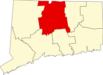
161.9 acres in Glastonbury, CT

Parking: Medium sized lot near 789 Neipsic Road Glastonbury, CT

Trail Map        Trails: 3 miles    Rating: ★★★☆☆


JB Williams park is filled with easy hiking trails, a lower pond for fishing (and skating in the winter), a rentable pavilion, and campsites complete with lean-tos.

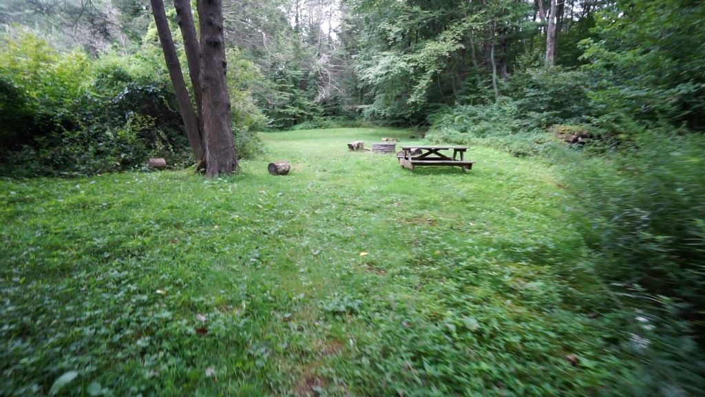
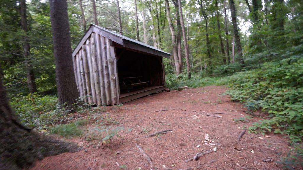
There was a jack and jill party happening at the pavilion on my most recent visit and the trails were bustling with hikers.  The lower pond even had a few father and son teams out fishing along its edge.  I hopped off the main park trail which is easy, wide, and gradual.  I took the outermost loop which passes through a couple campsites.  The town site makes no note of camping available here, but there are several sites including a few with robust lean-tos built by local Eagle Scouts.

Continuing past the sites, I found a trail that followed Hubbard Brook upstream.  It soon split ways and headed east until reaching the utility corridor on the park’s boundary.  This trail was unblazed and certainly more rugged than anything else in the park.  It eventually looped back to the ball field at the park’s entrance.

As I found with most of Glastonbury’s trail maps, they are outdated and incomplete.  There are a number of trails here that are much better outlined at the trailhead kiosk.

History:

The park gets its namesake from the J.B. Williams Soap Factory which was one of the largest producers of hygiene products in the nation in its time.  Glastonbury purchased the property sometime in the mid-1960s.


Links:

Lost Glastonbury – JB Williams Park Dam

The information shown here is for general reference purposes only. exploreCT.org gives no warranty, expressed or implied, as to the accuracy or reliability of this data. Parking in all areas, whether designated here or not, is at your own risk. exploreCT.org is not responsible for any damage or loss to vehicles or contents.
Last updated Sept. 1, 2019

Visited 2405 times, 6 Visits today

Related Listings

Shugrue Reserve

★★☆☆☆

41.518033, -72.341373

Shugrue Farm Reserve East Haddam Town Park 225 acres in East Haddam, CT Parking: Shoulder parking near 22 Town Rd, Colchester, CT Trail Map       Trails:…

Torrey Preserve

★★☆☆☆

41.811942, -72.225860

Torrey Preserve Mansfield Town Park 29.5 acres in Mansfield, CT Parking: Small lot near 266 Gurleyville Rd Mansfield, CT Trail Map       Trails: 1 mile     Rating:…

Talmadge Tract

★★☆☆☆

41.841828, -72.240032

Talmadge Tract / UCONN Moss Forest / Royal Knowlton Preserve Willington Town Park / Blue Blaze Nipmuck Trail / UCONN 602 acres in Willington, CT Parking: Small…