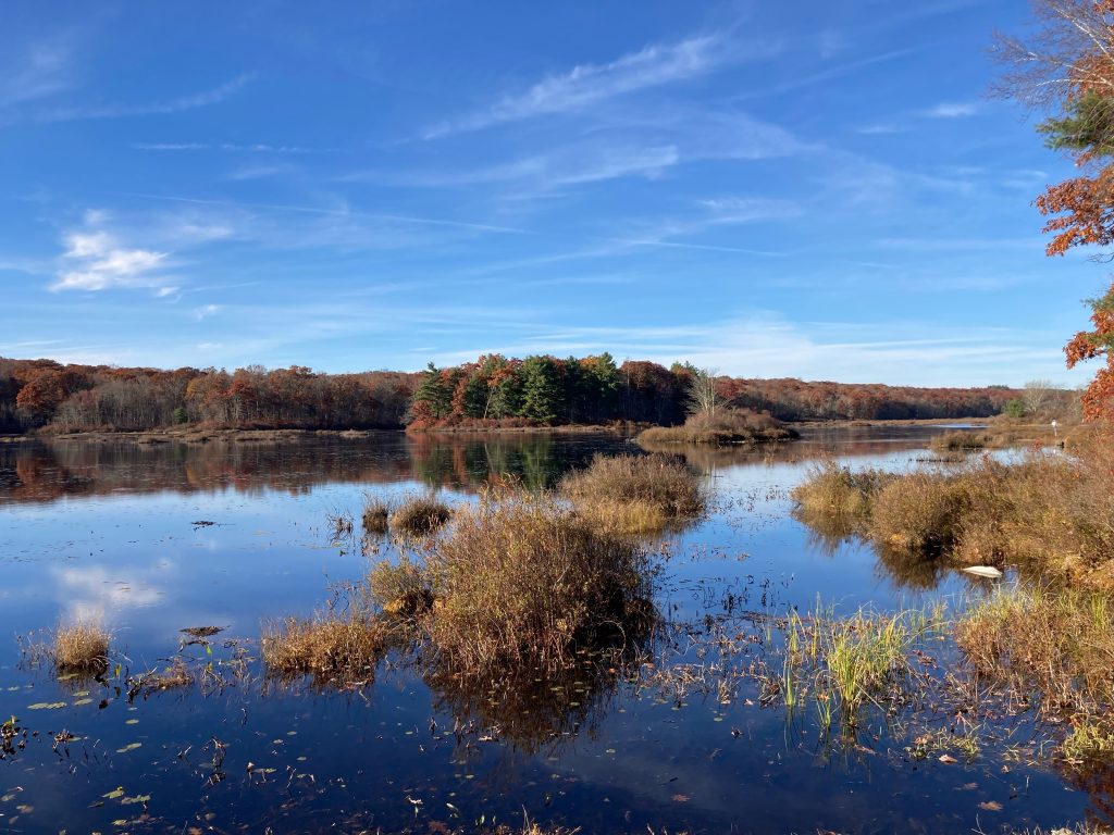
Hampton Reservoir
Connecticut State Boat Launch
151 acres in Hampton, CT
Parking: Small lot near 400 Kenyon Rd, Hampton, CT
Trail Map Trails: 0.5 miles Rating: ★★☆☆☆
The reservoir and surrounding land are part of Natchaug State Forest.
Hiking
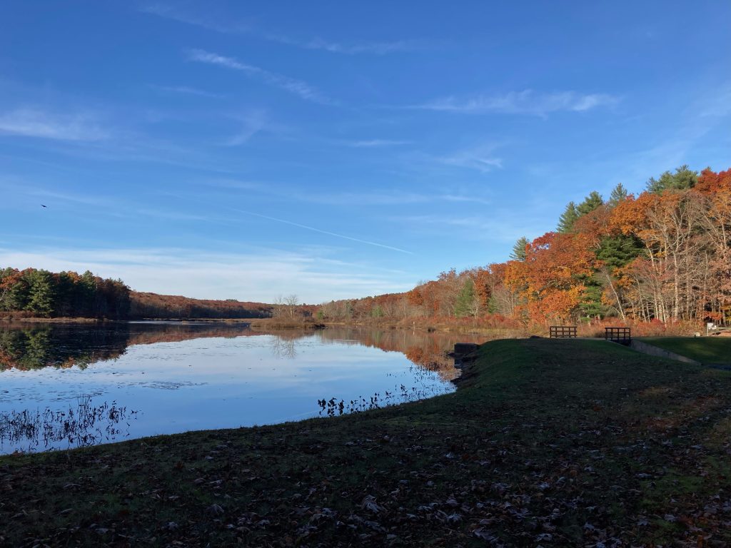
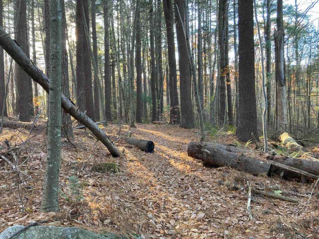
From the parking area I followed the earth dam heading west over the newly built bridge (2022). A path headed off among the trees and fully expected it to peter out after a few hundred feet. I was pleasantly surprised to find that the trail continued as it veered away from the reservoir.
Though unblazed the trail is clear and easy to follow with one significant muddy patch that has a few well placed rocks for hopping. The trail continues for just under 0.5 miles until reaching Fayette Road. You can cross Fayette Road and the trail continues on towards the Silvermine Horse Camp (watch out for horse droppings on the trail) and into the Natchaug Forest Main Block.
There isn’t a loop around the reservoir as far as I’ve discovered, but there definitely should be.
The reservoir is just 500 feet from the Air Line Trail though you’d have to use Kenyon Road to reach it.
Boating/Fishing
The reservoir itself is 88.3 acres. The boat launch is a carry in only and combustion engines are prohibited. Largemouth bass seems to be the main catch here.
The outflow is a tributary of the Little River.
History:
The dam was originally completed in 1944 and the bridge and spill way were updated in 2022.
Links:
The information shown here is for general reference purposes only. exploreCT.org gives no warranty, expressed or implied, as to the accuracy or reliability of this data. Parking in all areas, whether designated here or not, is at your own risk. exploreCT.org is not responsible for any damage or loss to vehicles or contents.
Last updated October 30th, 2022
Visited 1688 times, 1 Visits today