Haley Farm State Park

Connecticut State Park

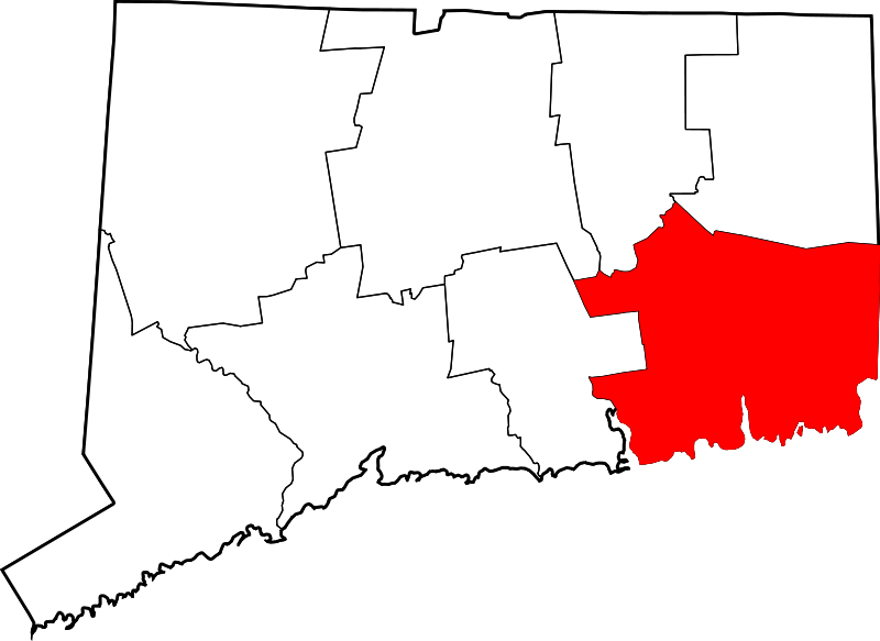
267 acres in Groton, CT

Parking: Medium sized lot near 24 Haley Farm Ln, Groton, CT

Trail Map              Trails: 5 miles              Rating: ★★★☆☆


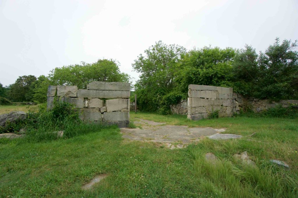
Haley Farm is a popular state park though not quite as much as its neighbor Bluff Point.  Trails here are well traveled with access to Bluff Point and the paved G&S Trolley Trail.  It is known as a rare habitat that “squeezes a great variety of biological diversity into a very small space”.  Highlights include views of Palmer Cove, Canopy Rock, old foundations, and enormous stone walls.

Hiking

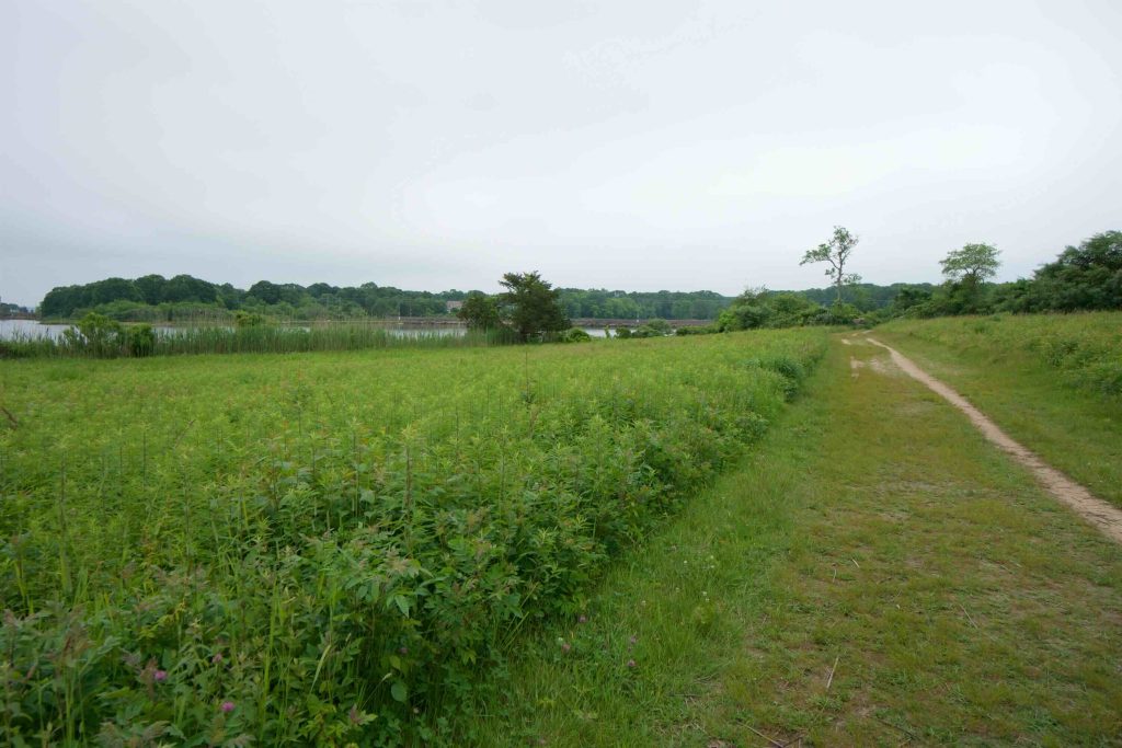
From the parking area I started out on the trails next to Palmer Cove.  The trail is wide and flat as it passes through a large meadow where a deer was calmly eating as I walked past. There are a couple access points to the water though you may have to descend a large jumble of breakwater stones.  The cove is also known as Taskegonucke, an old Native American Indian shellfishing ground. Its modern name for David Palmer, who was killed in the Battle of Groton Heights in 1781. There is also an osprey nest platform out in the water.

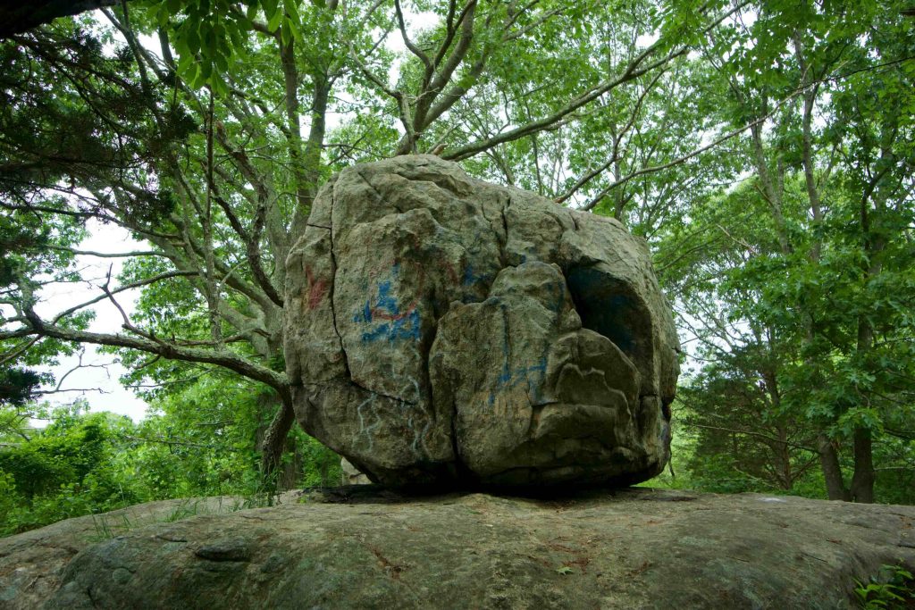
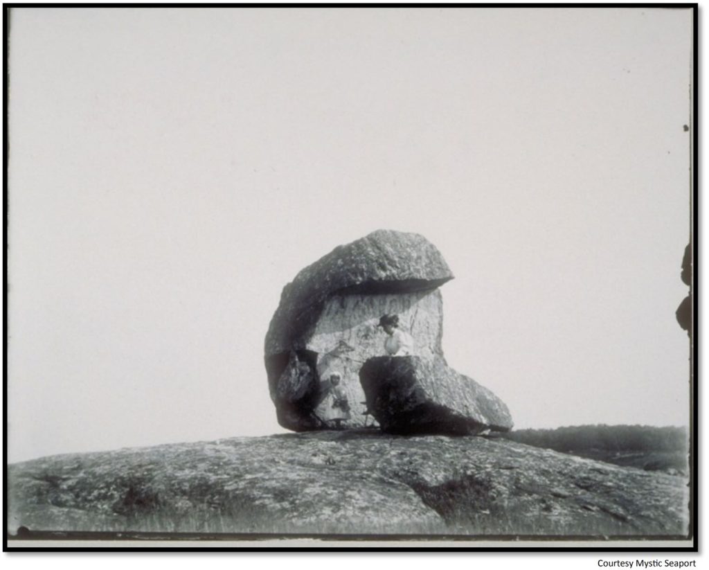
The trail turns inland coming right up against the Amtrak railway and right before it is Canopy Rock.  The huge boulder was apparently split by frost and was written as “Canapie Rock” on John Winthrop’s 1649 land grant.  It was also known as “Jemima’s Rock” (see the History section below for the reason why). Though trees have grown up all around it, the rock used to be among the fields when this area was farmed.

I missed the scenic overlook on my last visit so I can’t comment on the quality of the view.  I instead hiked to the bridge over Amtrak to see the connection to Bluff Point, which is a thin path on the other side of the rail of about a mile. I followed the paved G&S Trolley Trail briefly until a side trail cut back into the woods which I followed all the way north to Gibson Pond before returning to the main parking area.

The Groton Cross Town Trail passes through the park coming from Bluff Point and heading towards the Mortimer Wright Nature Preserve.

Mountain Biking

There is a crushed stone path designated for biking here which I assume is a nice connection off the G&S Trolley Trail.

I was also passed by several mountain bikers while hiking here so it must be a popular spot.  There seems to be some created features along the bike path and a couple unmarked spur trails.

History:

Established as a state park in 1970. A nice history can be found on Groton Open Space’s website here.

It was partially owned by Connecticut’s first governor John Winthrop back in 1648.  It later became a dairy farm under Caleb Haley.  From the Groton Open Space Association site,

“In 1869, the 400-acre farm was sold to Caleb Haley, a Center Groton native, for $12,000. Haley had been a wealthy merchant at New York’s Fulton Street fish market and ran the farm mostly as a hobby. He was an enthusiast for large, carefully planned stonewalls, and devised a clever stone puller designed by neighbor Francis E. Merritt using pulleys and tongs, driven by oxen and manned by locals when the Noank shipyard was not busy. Two men worked full-time on the project. Some of the baseline boulders weigh three tons.”

Canopy Rock was known as “Jemima’s Rock” for Jemima Wilkenson, a dedicated biblical scholar who lived in Ledyard and was known for giving Sunday sermons from the pulpit like rocks around 1780.

This park was featured in the 2017 Sky’s the Limit Hiking Challenge.


Links:

CTMQ – TSTL’17.9: Haley Farm State Park (2017)

Peter Marteka – History Of Haley Farm State Park In Groton Stretches Back to 1648 (2010)

A Shared Landscape: a Guide and History of Connecticut’s State Parks & Forests, by Joseph Leary, Friends of Connecticut State Parks, Inc., 2004, pp. 22–23.

The information shown here is for general reference purposes only. exploreCT.org gives no warranty, expressed or implied, as to the accuracy or reliability of this data. Parking in all areas, whether designated here or not, is at your own risk. exploreCT.org is not responsible for any damage or loss to vehicles or contents.
Last updated June 24th, 2018

Visited 3505 times, 2 Visits today

Related Listings

Shenipsit Trail: North Terminus

★★☆☆☆

24 Greaves Rd, Stafford Springs, CT 06076, USA

Shenipsit Trail: North Terminus Connecticut State Forest and Blue Blaze Trail 716 acres in Somers and Stafford, CT Parking: North Parking: Shoulder parking near 24 Greaves Rd,…

John Minetto State Park

Unexplored

41.883625, -73.169530

John A. Minetto State Park Connecticut State Park 715 acres in Goshen and Torrington, CT Parking: Seasonal parking near CT-272, Torrington, CT Trail Map        Trails:…

Bartlett Brook

★★☆☆☆

41.601649, -72.261753

Bartlett Brook WMA Connecticut Wildlife Management Area 687 acres in Lebanon, CT Parking: Medium sized lot near 773 Goshen Hill Rd Lebanon, CT Hunting Map       …