Gellert/Valentine Preserve
168 acres in Pomfret, CT
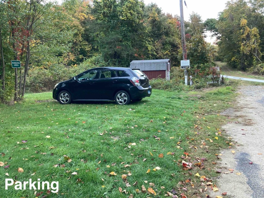
Parking: Small lot near 3 Ayers Rd, Pomfret Center, CT
Trail Map Trails: 1.25 miles Rating: ★★☆☆☆
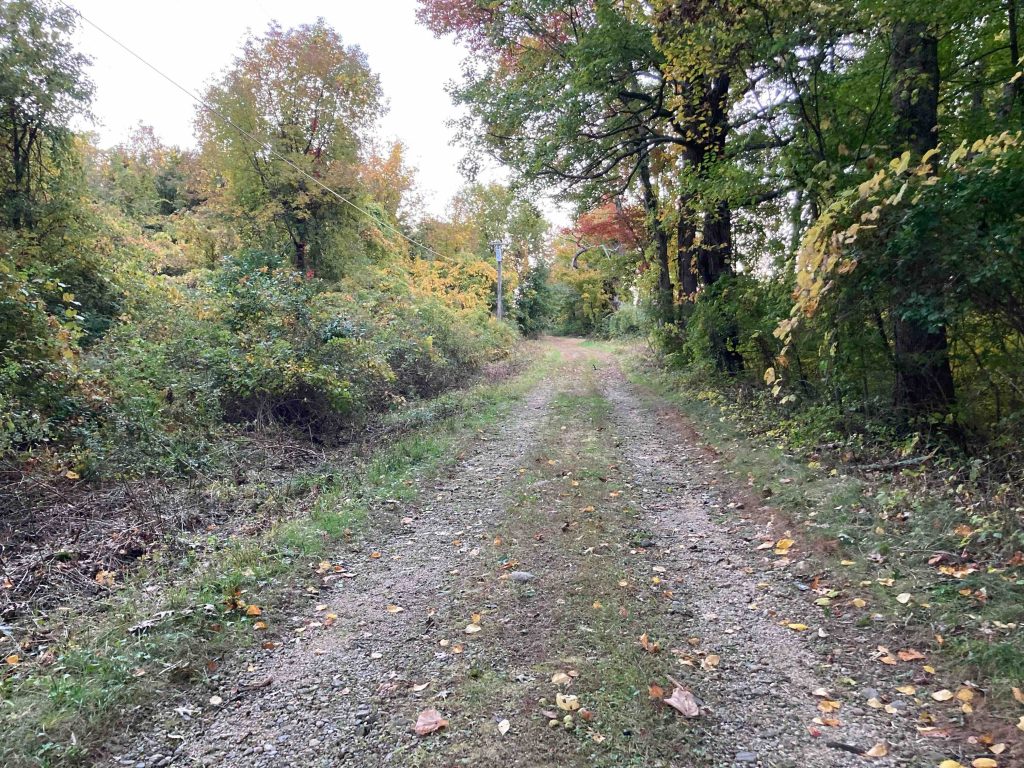
The trail starts at the end of Ayers Road in Pomfret Center just past a small grassy pull off across from private property. Hop the fence to enter the Gellert section of this preserve and hike up the farm field access road.
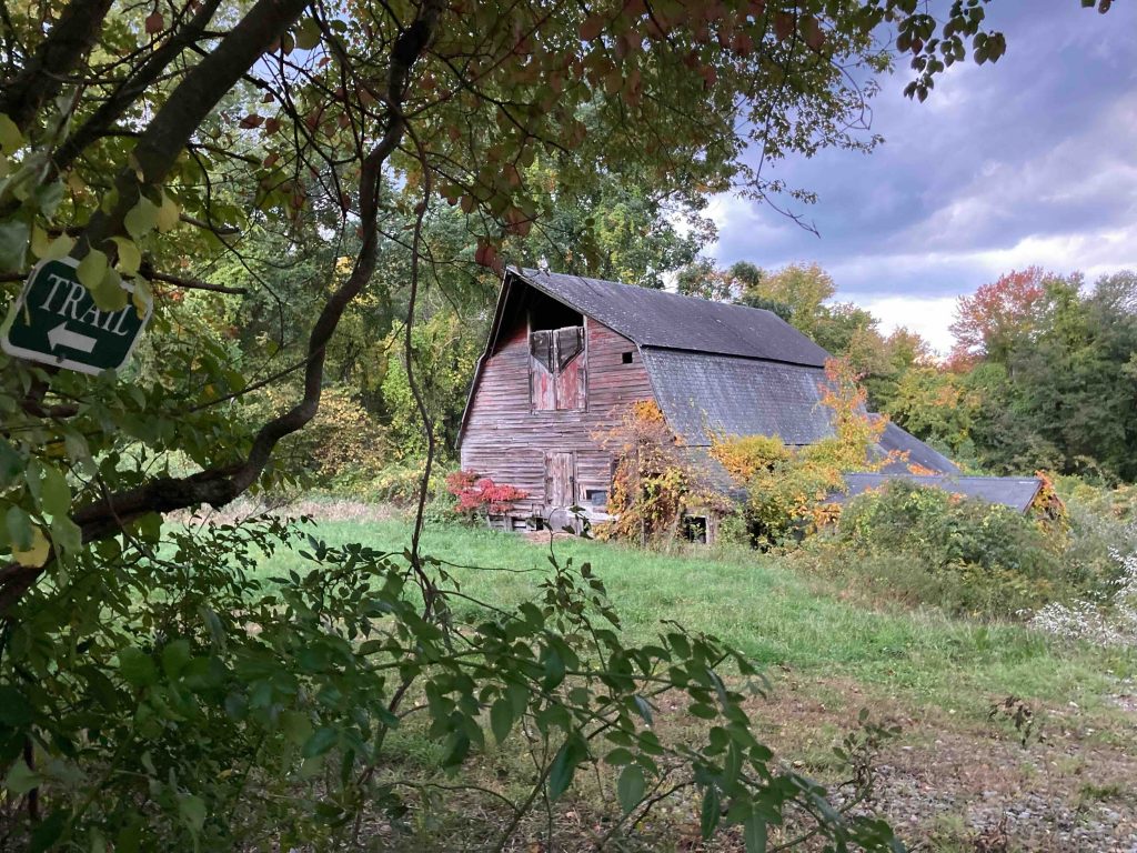
The start of the trail on this rocky farm road is nothing special but about halfway up the gradual hill is one of those nice dilapidated old barns that almost always requires a photo. The trail stays left at the fork and continues up hill to a cornfield. The loop part of the trail starts straight ahead off the corner of the field and immediately splits.
I followed the right fork and followed its wide path cut through thorny understory on what must be another old farm road. The trail takes a hard left at a stonewall and enters an area logged in 2019. I didn’t know the date at the time and guess it was around then since the regrowth was very similar to the Two Sisters Tract in Chaplin which was logged the same summer.
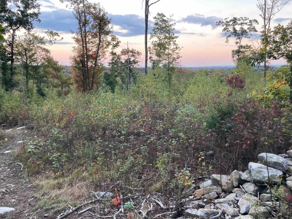
The trail continues downhill until it meets the Air Line Trail which you follow for about a 1000′ before turning back uphill into the logged area. As you climb the hill there is a nice view to the southeast. I happened to be there at sunset and you could see about a mile toward the Barrett Ridge and perhaps beyond that.
History:
First preserved in December 2007 when Theodore Gellert donated his 125-acre property to the land trust. The adjacent 43-acre Valentine property was purchased from siblings Robert Valentine and Mary Feathers in 2015.
Links:
The information shown here is for general reference purposes only. exploreCT.org gives no warranty, expressed or implied, as to the accuracy or reliability of this data. Parking in all areas, whether designated here or not, is at your own risk. exploreCT.org is not responsible for any damage or loss to vehicles or contents.
Last updated October 7th, 2022
Visited 1165 times, 1 Visits today