Shenipsit: Garnet Ledge

Manchester Water Co. Property, Kongscut Land Trust, and Blue Blaze Trail

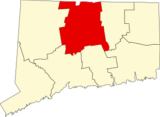
1,437 acres in Glastonbury, CT

Parking:

Trail Map               Trails: 3.1 miles            Rating: ★★☆☆☆


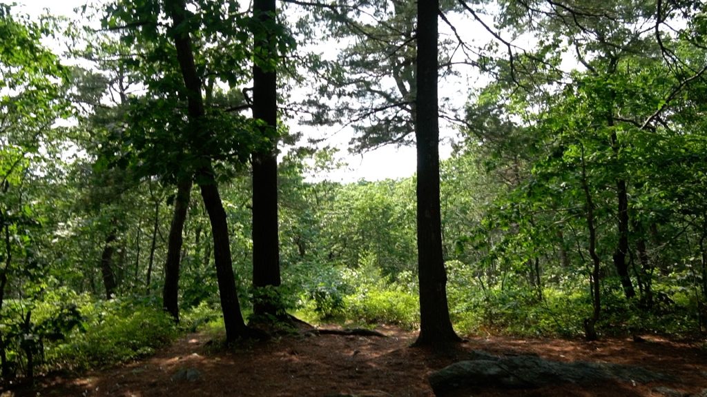
The area known as Garnet Ledge spans from John Tom Hill to the southern border of Case Mountain.  It is largely trailed by a 3.1 mile section of the Shenipsit Trail with a connection to Gay City State Park.  It is a popular area with mountain bikers and connects indistinguishably with Buckingham Reservoir.  The trail features quiet woods, rocky ledges, and an tiny overlook.

Hiking

Shenipsit Trail

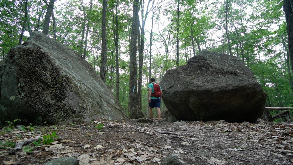
  • The trail enters the woods after the road walk just after a curve in the road and enters the Riley and Swan Estate parcels of the Kongscut Land Trust.  The trail is fairly flat and surrounded by ferns in summer.  After a couple curving stretches you’ll climb a hill to boulder junction with its set of erratics.  The next stretch grows increasingly rockier as we enter the actual ledge area.  The trail swoops up and down hills eventually climbing between rocks to a pine covered ledge and the aptly named Pine Ledge Overlook.  Trail maps on site note a short spur trail to an overlook which I haven’t found on my visits instead there is a tiny window between the trees with a blocked view west.  The trail then descends steeply off the ridge to cross Roaring Brook in interesting fashion before climbing again to reach Birch Mountain and the Case Mountain trail network

Mountain Biking

There are a number of mountain bike trails here criss crossing the forest with connections to the Case Mountain, Buckingham Reservoir, and Gay City/Blackledge areas.

History:

The two Kongscut Land Trust parcels are the Riley Tract and the Swan Estate. The Riley Tract (88.4 acres) was donated by Bernice “Bunny” Swan in 1991 after being in her family ( Strickland) for many generations. The Swan estate parcel (26 acres) was given by Bernice Swan’s heirs, Marian Sauter, Evelyn Chapman, and Donald Taylor. Evelyn Chapman’s share was given in installments over an 11 year period beginning in 1998.


Links:

The information shown here is for general reference purposes only. exploreCT.org gives no warranty, expressed or implied, as to the accuracy or reliability of this data. Parking in all areas, whether designated here or not, is at your own risk. exploreCT.org is not responsible for any damage or loss to vehicles or contents.
Last updated June 11th, 2023

Visited 1002 times, 2 Visits today

Related Listings

Friedman Forest

★★☆☆☆

41.845289, -72.150130

Abraham R. and Samuel H. Friedman Memorial Forest Joshua’s Trust 143 acres in Ashford, CT Parking: Small lot near 427 Bebbington Rd Ashford, CT Trail Map   …

Iron Mine Valley

★★☆☆☆

41.898831, -72.167540

Iron Mine Valley Preserve Joshua’s Trust 52 acres in Ashford, CT Parking: Shoulder parking near 31 Sand Hill Rd, Ashford, CT Trail Map         Trails:…

East River Preserve

★★☆☆☆

16 Sullivan Dr, Guilford, CT, USA

East River Preserve Guilford Town Park 635.1 acres in Guilford, CT Parking: Small pull-off near 494 Clapboard Hill Rd, Guilford, CT Medium sized lot near 16 Sullivan…