Site logo
    • Explore
      • Blue-Blaze Trails
      • Land Trusts
      • State Parks and Forests
      • By Town
    • exploreCT+
      • Membership
      • Shop
      • Events
    • Blog
    • Town Guides
    Sign in or Register
    Listing cover image

    Fowler Grindstone Preserve

    • Trails
      1 miles
    • Rating
      ★★★☆☆
    • Address
      9 Fowler Rd, North Stonington, CT, USA
    • Explore
    • Trail Map
    • Reviews 0
    • New Page
    • prev
    • next
    • Bookmark
    • Share
    • Get directions
    • Report
    • prev
    • next
    At A Glance

    North Stonington Land Alliance

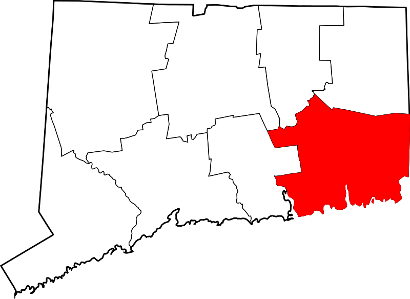
    74.18 acres in North Stonington, CT

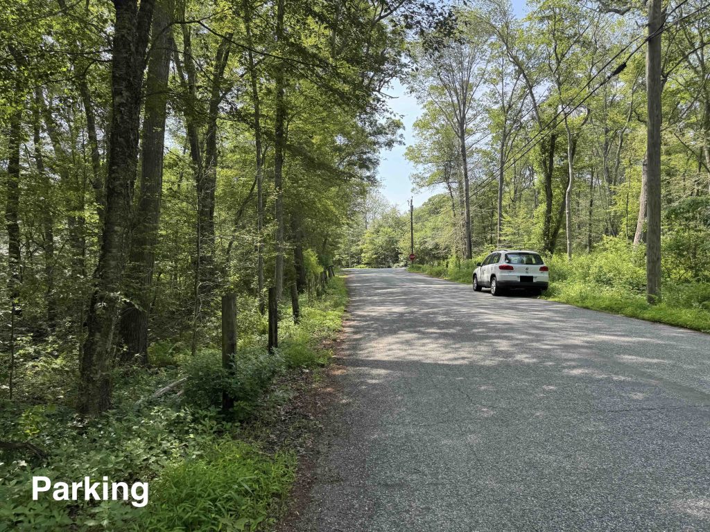
    Parking: Shoulder parking near 9 Fowler Rd, North Stonington, CT

    Trail Map          Trails: 1.3 miles       Rating: ★★★☆☆

    This seldom traveled trail features great views along Hetchel Swamp Brook and Pendleton Hill Brooks with a couple large glacial erratics and a dash of mill history.

    Hiking

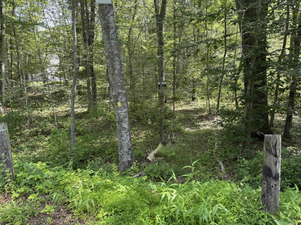
    The Land Alliance reccommends the Upper Parking area (near 30 Fowler Rd I think) where there is a small pull-off and then you walk down someone's driveway to a trailhead at the back.  I'm rarely comfortable doing that so I parked at the Lower entrance (near 9 Fowler Rd) and easily found the trailhead sign.

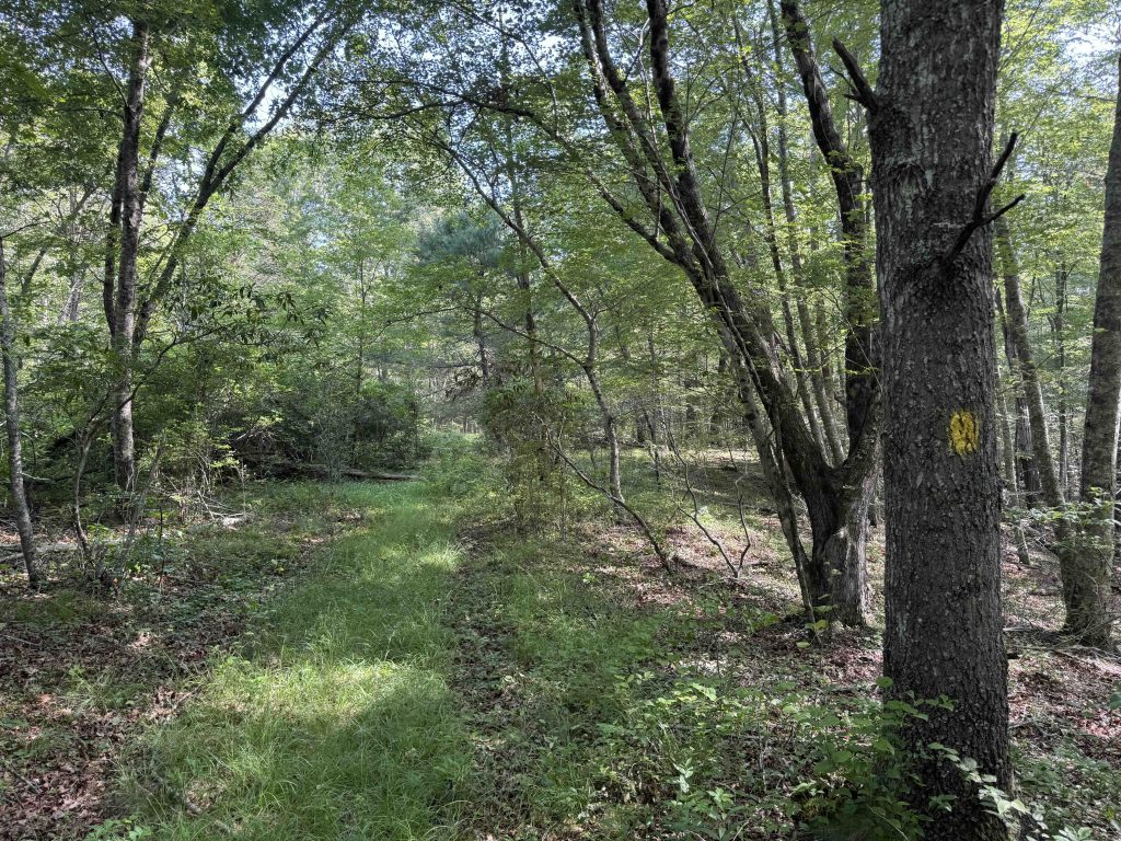
    This intial yellow blazed trail was pretty overgrown and appeared seldom traveled in this narrow corridor between private property with a large fetid swamp off to the right. The trail does open up onto what must be and old farm road, also a bit overgrown, with some twisted rusted old vehicle as a trailside viewpoint.

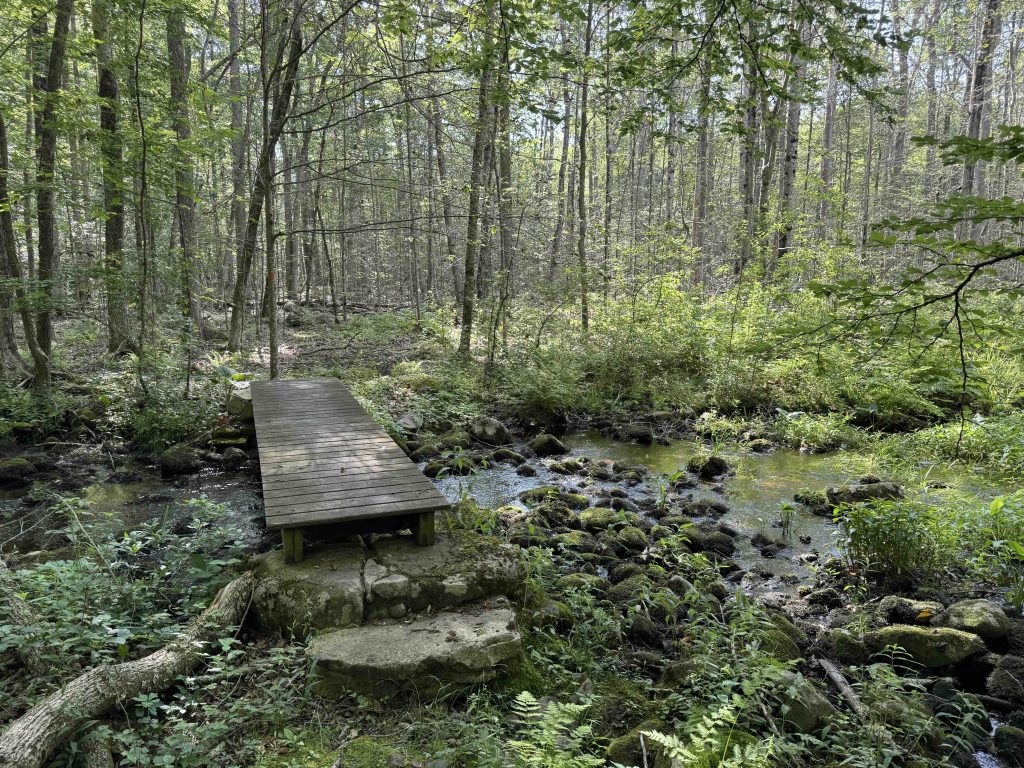
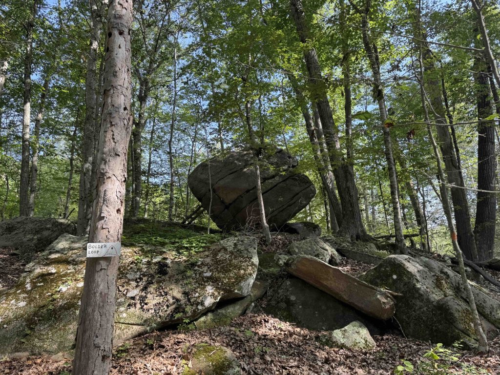
    I did spy the yellow trail heading off towards the upper parking so I can confirm it is blazed but appeared even less traveled. From here the trail blaze switched to white/yellow until crossing Hetchel Swamp Brook. The trail map shows it continuing north and looping back around but either I missed it or it has been abandoned. After crossing over the brook the blazes switch to orange, briefly following the water and then climbing to a large erratic boulder.  The boulder even has a bolted ladder so that you can easily climb atop.  The orange blazes lead you out to Pendleton Hill Brook where a sign let's you know that you're entering 'Jeffrey Property' and the trail blazes switch yet again to blue.

    This next stretch is technically on private property but is well-blazed and no signs stating No Trespassing so I continued on. Across the brook is 2 parcels of Pachaug State Forest, though no trails that I'm aware of. The trail follows the brook for almost the entire stretch and is well selected along the water if only a bit overgrown. Near the end is an old mill dam and large former mill pond. I haven't found any history on it yet. After a few more ferns and large erratics the trail drops you on a driveway for the property.  Total mileage was about 1.35 miles out so 2.7 round trip.

    History

    The property was acquired by the North Stonington Citizen's Land Alliance for $20,000 in 1997 at a tax auction.

    Tags
    • ★★★☆☆
    • Explored
    • 2025
    • New London County
    • North Stonington
    • North Stonington Land Alliance
    Last Updated

    June 23rd, 2025. The information shown here is for general reference purposes only. exploreCT.org gives no warranty, expressed or implied, as to the accuracy or reliability of this data. Parking in all areas, whether designated here or not, is at your own risk. exploreCT.org is not responsible for any damage or loss to vehicles or contents.

    Trail Map
    Location
    • 9 Fowler Rd, North Stonington, CT, USA

      Get Directions
    Gallery
    Categories
    • Hiking
    Gallery
  • No comments yet.
  • Add a review

    Leave a Reply · Cancel reply

    You must be logged in to post a comment.

    You May Also Be Interested In

    Spruce Brook Falls

    • ★★★★★
    • 16 miles
    Featured
    FW6F+CW Beacon Falls
    • Quick view
    • Bookmark

    Heller Preserve

    • Unexplored
    • 0.6 miles
    80 Town Woods Road
    • Quick view
    • Bookmark

    Belton Copp Preserve

    • Unexplored
    • 0.1 miles
    14 Smith Neck Road
    • Quick view
    • Bookmark

    Hi, I’m Matt.

    I’m building ExploreCT to be the guide for all your outdoor adventures. All the trails, views, and waterways this great state has to offer.

    Now get out and explore!

    Monthly Newsletter

    Each month I share site updates or an interesting article in my newsletter. It’s short, sweet, and practical.

    600+ explorers read it, I’d love for you to join.

    Thank you!

    You have successfully joined our subscriber list.

    X-twitter Youtube Envelope Instagram

    Cart

      • Facebook
      • X
      • WhatsApp
      • Telegram
      • LinkedIn
      • Tumblr
      • Reddit
      • VKontakte
      • Mail
      • Copy link
      • Share via...
      • Threads
      • Bluesky