Fenton Tract

University of Connecticut Open Space

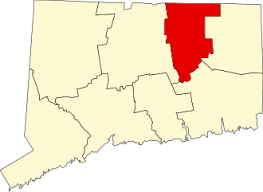
579 acres in Mansfield, CT

Parking:

Trail Map                Trails: 6 miles             Rating: ★★★☆☆


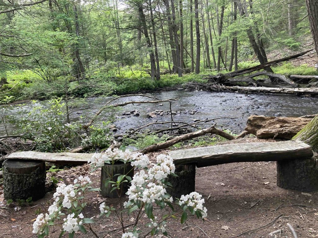
There are a number of knocks against this property.  The trails are poorly marked and often confusing with unconnected trails being blazed the same colors.  Others are overgrown or flooded. University students often leave trash (read: empty alcohol containers). And as far as I’ve explored, parts of the Purple trail and the easternmost section of the Orange trail no longer exist. 

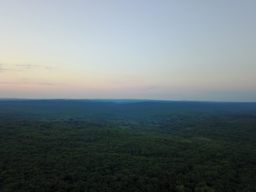
Despite these things the Fenton Forest tract is a great varied place to explore.  Horsebarn Hill is a great starting point to take in the view of the Fenton River Valley. 

The easiest trail to take from Horsebarn Hill is the red trail down to a smaller forested summit with a medium sized erratic in a clearing.  This and many other spots within the Fenton Tract have been used as party sites for university students.  Unmarked trails from here head downhill where mountain bikers have constructed a series of jumps.  This steep descent will connect to the Orange/Blue, or Purple.

The blue blazed Nipmuck Trail used to follow the path of the Fenton River until late 2020 when beaver flooding caused a reroute onto the Green and Orange trails (I had to try real hard to keep dry feet in June 2020). These reroute is less scenic but necessary.

The orange trail passes through pine groves and ravines.

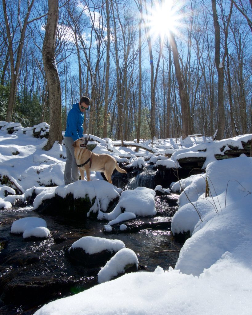
The green trail passes a broken dam and later tiny cascades along a seasonal stream. 

The eastern yellow trail passes the rusted ski lifts of the former Husky Hill. 

There is enough here for a full day of exploration or repeat visits.

Fishing

The Fenton River here is a popular fishing spot.

History:

It was home to Husky Hill a ski lift for the UCONN students in the 70s.


Links:

New England Lost Ski Areas – Husky Hill

Peter Marteka – The Path to Knowledge (2002)

The information shown here is for general reference purposes only. exploreCT.org gives no warranty, expressed or implied, as to the accuracy or reliability of this data. Parking in all areas, whether designated here or not, is at your own risk. exploreCT.org is not responsible for any damage or loss to vehicles or contents.
Last updated June 18th, 2023

Visited 3473 times, 2 Visits today

Related Listings

Trail Wood Sanctuary

★★★☆☆

93 Kenyon Road, Hampton, CT, USA

Edwin Teale Trail Wood Sanctuary CT Audubon Property 168 acres in Hampton, CT Parking: Medium sized lot at 93 Kenyon Road Hampton, CT Trail Map       …

West Thompson Lake

★★★☆☆

41.952254, -71.904027

West Thompson Lake and Dam U.S. Army Corps of Engineers 1,763.5 acres in Thompson, CT Parking: West side (hiking) of the dam small lot Parking Link East… Read more…

North South Trail

★☆☆☆☆

41.850808, -71.795226

Rhode Island North-South Trail Rhode Island Thru Hike in Killingly, CT Parking: Park along Pond Rd near Killingly Pond State Park Trail Map      Trails: Less than a mile … Read more…