Duncan Preserve

East Haddam Land Trust

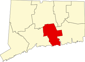
19 acres in East Haddam, CT

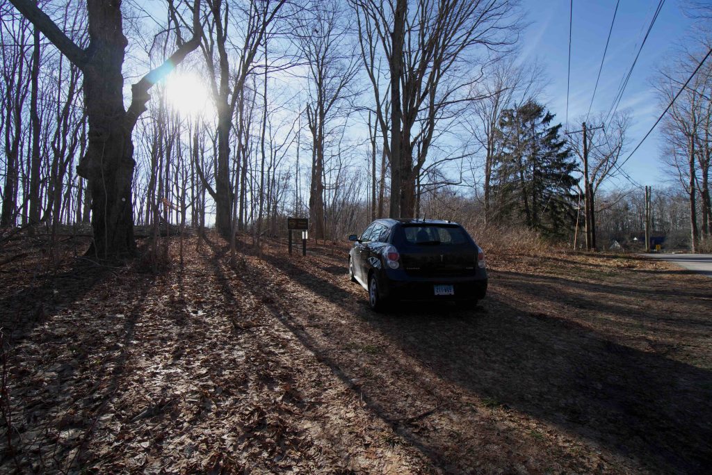
Parking: Shoulder parking near 14 Porges Rd, East Haddam, CT

Trail Map              Trails: 1 mile             Rating: ★★☆☆☆


The Duncan Preserve was an extremely pleasant surprise that I decided to tack on after exploring the nearby Brainerd Homestead State Park.  The preserve is a short walk, historical elements, and a seasonal overlook.

Hiking

From the shoulder parking on Porges Rd the trail heads right up a gentle slope to the summit of a treed hillock.  There is a small stone plaque that looked freshly installed noting the spot as the site of the town’s first Episcopal Church.  There is one large stone block that serves as a bench and a smattering of bricks.

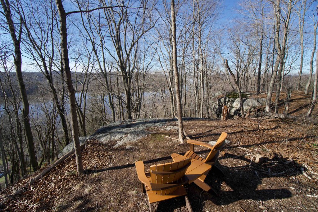
The trail then heads off the hill down a steep grade, assisted by a few well placed stone steps, into a ravine bisected by a stream.  The blue blazed trail forks here and both directions were flooded after recent heavy rains.  Crossing the stream by hopping on rocks and then another steep climb up the other side.  You’re within sight of private property much of the time, but after winding around small hills you are rewarded with a rocky ledge and a seasonal view of the Connecticut River.  There is a pair of Adirondack chairs to admire the view which was actually pretty great on my December visit.

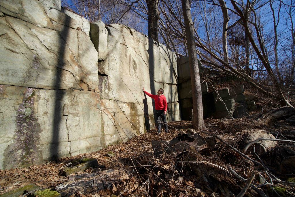
The trail then meanders a bit back to the ravine and after recrossing the stream I noticed an impressive squared stone ledge off trail.  Undoubtably it is the quarry noted in the Trail Guide and the rock is impressively angular and smooth.  There isn’t any evidence of bore holes, but a later inspection of the stone block bench I mentioned has a few.  The trail doesn’t pass by the quarry is it requires some pushing through underbrush to get up close, worth it for me at least.

History:

Preserved in 2010 when it was donated to the East Haddam Land Trust.  From the Trail Guide,

“Its history goes back to about 1670 when the first East Haddam settlers moved into the area along Creek Row, the first road in town. The outline of the first Episcopal church ’s foundation, built by William Gelston about 20 years after the Revolutionary War, is still visible along the blue trail and there is evidence that the cut granite foundation stones were quarried nearby.

The property remained with the Gelston family until it was sold to William Duncan who had wed Rebecca Gelston. They planned to build on the site until the stock market crash of 1929 changed their dreams of a mansion. Instead, they refurbished the existing livestock barn into a summer cottage. After their daughter, Dorothy, passed away, the executors of her estate sold the property to the Connecticut River Gateway Commission who then donated it to the EHLT.”


Links:

The information shown here is for general reference purposes only. exploreCT.org gives no warranty, expressed or implied, as to the accuracy or reliability of this data. Parking in all areas, whether designated here or not, is at your own risk. exploreCT.org is not responsible for any damage or loss to vehicles or contents.
Last updated December 27th, 2020

Visited 1878 times, 2 Visits today

Related Listings

Kongscut Mountain

★★★☆☆

887 Goodale Hill Rd, Glastonbury, CT

Kongscut Mountain / Phillips Cave Loop Connecticut State Forest 1,100 acres in Glastonbury, CT Parking: Small pull of near 887 Goodale Hill Rd, Glastonbury, CT Trail Map …

Kings Island

★★★☆☆

41.954496, -72.612596

Kings Island Eversource Land Trust 120 acres in Enfield and Suffield, CT Parking: Access by water only, nearest boat launch is Kings Island Boat Launch Boat launch… Read more…

LeClair Preserve

★☆☆☆☆

41.951405, -71.808470

LeClair Preserve [Trail Closed] Wyndham Land Trust 74.5 acres in Thompson, CT Parking: Formerly accessed from the end of LeClair Road Trail Map       Trails: Trail…