Deer Lake Day Camp

Pathfinders Inc Private Property

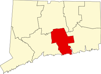
255 acres in Killingworth, CT

Parking: Shoulder parking near 100 Papermill Rd, Killingworth, CT

Trail Map         Trails: 1.7 miles      Rating: ★★☆☆☆


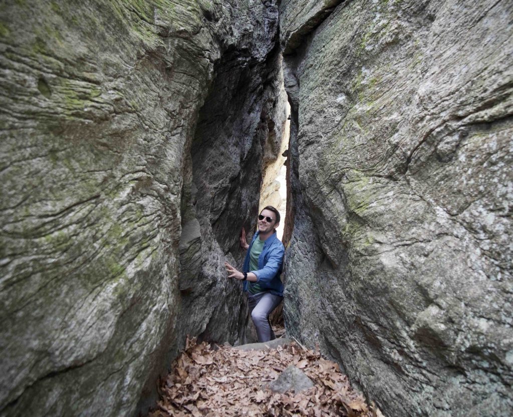
There are a number of trails here around the property though I’m uncertain how open they are to anyone’s use.  So I’ve only included this section of the blue blaze Chatfield Trail with it’s highlight Fat Man’s Squeeze so far.

Hiking

The beginning of this section coming from Paper Mill Road climbs a small hill to enter the woods to walk alongside an unnamed brook. After crossing the brook you’ll be along the backside of the Deer Lake Day Camp on and old road behind the camping lean-tos.

A rocky ledge will rise to your right and you’ll recross the brook after a brief corduroy road.  The splits soon after with the Yellow Boundary trail continuing along the rise and the blue trail descending to cross the brook once again.  From here you’ll enter the rocks and as you navigate to Fat Man’s Squeeze.  The rocks are by far the best part of the trail and should be explored.

After the squeeze the trail enters an open area recently cut where you’ll be able to see the outposts at the edge of the camp.  You’ll descend a long hill to rejoin another old woods road to a roadwalk on the dirt Champlin Road.

Next section: Cockaponset State Forest

Previous section: Brief road walk to River Road terminus

History:

Formerly a Boy Scouts of America camp run by the Connecticut Yankee Council.  The scouts announced they was selling the land for $4.62 million to a real estate developer, Margaret Streicker, who was also a board member of the scouts’ council. This raised a community conservation movement and after much back and forth ultimately the property was bought by Pathfinders as a Day camp and private open space in September 2022.


Links:

The information shown here is for general reference purposes only. exploreCT.org gives no warranty, expressed or implied, as to the accuracy or reliability of this data. Parking in all areas, whether designated here or not, is at your own risk. exploreCT.org is not responsible for any damage or loss to vehicles or contents.
Last updated April 25, 2022

Visited 870 times, 2 Visits today

Related Listings

Fenton Tract

★★★☆☆

41.824717, -72.237417

Fenton Tract University of Connecticut Open Space 579 acres in Mansfield, CT Parking: Shoulder parking near 2696 Horsebarn Hill Rd Mansfield, CT Small pull-off near 138 Old Turnpike…

Natchaug Trail : Morey Rd

★★☆☆☆

41.8214610, -72.0970840

Natchaug Trail – Morey Rd CFPA Blue Blaze Natchaug Trail Natchaug State Forest through Chaplin and Eastford, CT Parking: Shoulder parking at 41.8214610, -72.0970840 Trail Map     …

Risley Park

★★★☆☆

41.801953, -72.470323

John S. Risley Park Manchester Land Conservation Trust and CFPA Blue Blaze Trail 180 acres in Vernon, Bolton, Manchester, CT Parking: Medium sized lot near 366 Lake…