Davis Forest
143 acres in Brooklyn, CT
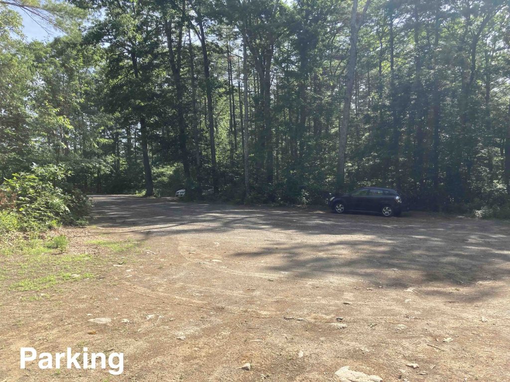
Parking: Medium sized lot at the end of Salmon Dr, Brooklyn, CT
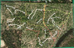
Trail Map Trails: 1.75 miles Trail Difficulty: Moderate Rating: ★★☆☆☆
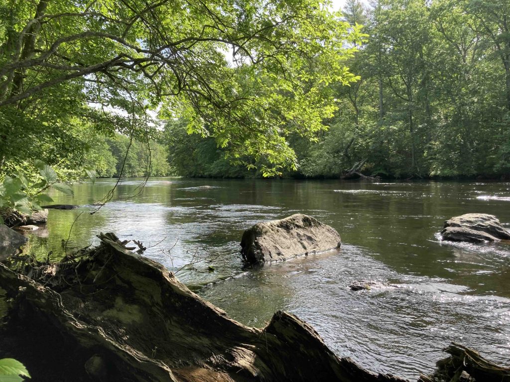
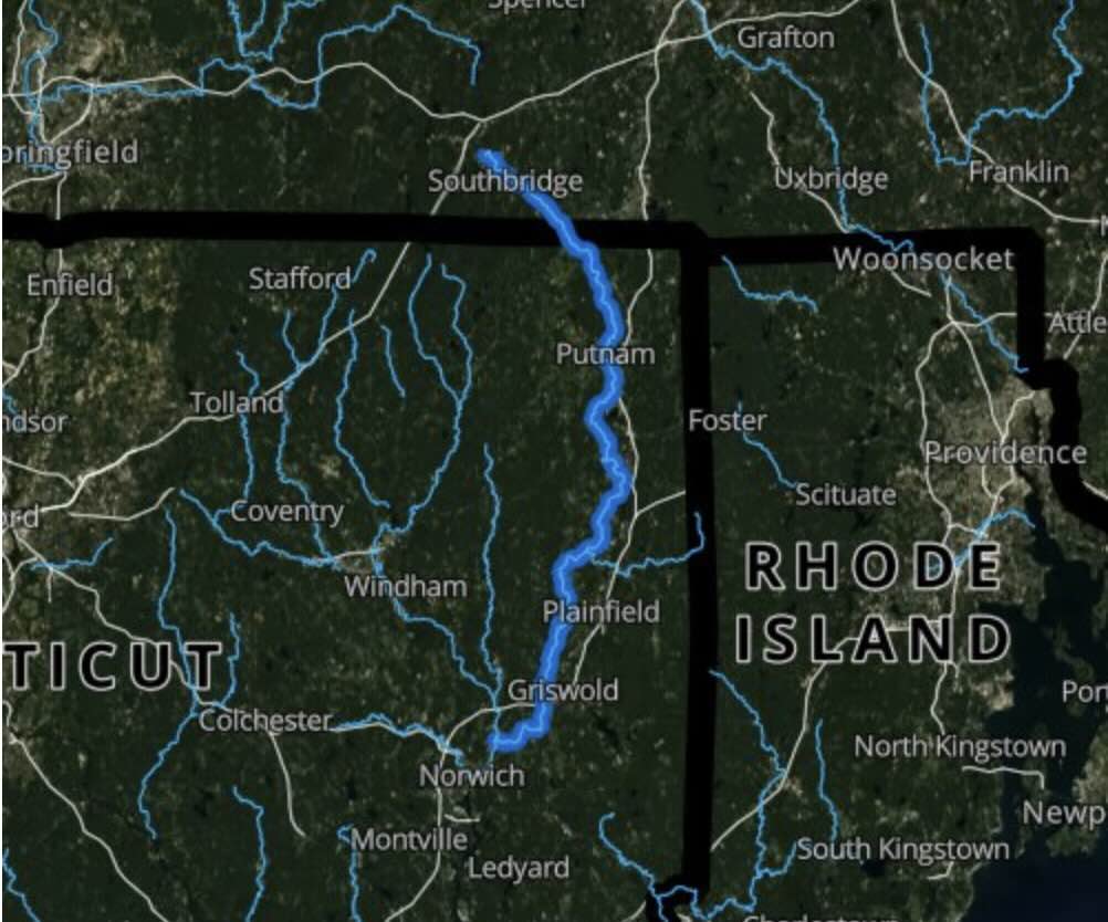
Davis Forest is a very popular disc golf spot and lesser known for its hiking trails. The property also provides access to the Quinebaug River but does not serve as a boat launch option.
Despite what the above trail map indicates the trails here have largely been subsumed by the popular disc golf course. Also note that the base map is pretty out of date with Juniper Way now being called Salmon Drive (though Juniper Way is an offshoot).
In theory there should be about 2.25 miles of trails.
- Red trail that follows the Quinebaug River and is about 1.25 miles one way
- There is a nice wide path from the back side of the parking lot heading downhill to the Quinebaug River which also serves as the exit for the disc golf course. Once near the river fisherman’s paths allow access to peaceful spots along the water. At the river the red trail heads right upstream with occasional blazes along the bank of the river eventually passing old mill ruins though I think the given distance is suspect.
- Scenic River Overlook trail is .5 miles one way
- I believe you reach this trail by turning left once reaching the river, I have not yet explored this direction
- Yellow loop is .5 miles.
- The yellow trail appears to have been abandoned due to the disc golf course. I did followed an overgrown path off the parking lot but turned around at the first fallen tree.
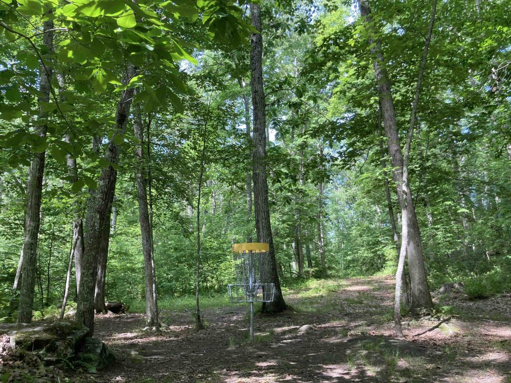
Davis Forest is a very popular 18-hole disc golf course for this part of the state. The course features heavily wooded fairly short holes with fun angles and blind throws. Most holes have a hand painted sign showing the line though a few are missing and a good bunch of metal signs showing the distance and par number.
As an absolute beginner I found the course challenging and fun though I bailed after 10 holes only doing the short course due to time constraints which was a nice option.
It’s a short five minute walk down to the Quinebaug River so fishing is an option, unfortunately there’s no access for boating.
The Davis Forest was purchased by the Town of Brooklyn in August 1998 with the intention of using it for municipal purposes but in 2004 the Board of Selectman supported it remaining as open space. The disc golf course was established in 2014.
An old mill site can be found on along the red trail: Connecticut Genealogy mentions that,
“In manufacturing enterprises early Brooklyn had comparatively greater interest than she has in later years. Grist and saw mills were among the first enterprises of this kind under taken. Looking back to a period, about one hundred years ago, we find Allyn’s grist mill was carried on successfully till the dam was carried off by a freshet, and public opposition delayed its rebuilding. Allen hill received its name from its vicinity to this much frequented grist mill.”
Located on the property is what remains of the Dyer Dam. The Dyer Dam provided power to the Wauregan Mill, a cotton mill in Plainfield, built from local fieldstone and powered by five turbine water wheels and two steam engines. The Killingly Historical Society website mentioned that
“On May 10, 1900, Windham County transcript article stated the Brooklyn brickyard was busy supplying brick for the chimney at Dyer Dam.”
The flood of 1955 destroyed the dam. The remains are mentioned as a pontential hazard in the Quinebaug River Paddlers Guide. In June 2022, Margaret Weaver mentioned an Anthony Allround column talking about Dyer Dam,
“The Dyer Dam, two miles south of this place (Danielson), is not the first utilization of the water-power of the Quinebaug river in that neighborhood. The river at a point below the power-house was used to turn a millwheel three or four generations ago. A half mile or more below the present dam and on the Brooklyn side of the river, may be seen in the woods the remains of an old mill-race twenty or thirty rods in length. Its sloping banks are partly covered with brush and trees. A small brook that appears once to have contributed its waters to the mill-race now cuts across its deserted channel. Sometime during the first half of the last century there stood upon the banks of the river at this place a mill that ground grain for the Allen Hill people. Every trace of the building, with its wooden water-wheel, has long since disappeared. It would be interesting to know when it was built and how long ago it ceased to be used and went to decay. Before the Civil War the river plains along the foot of Allen Hill formed quite a track of open country but the land is now covered by an extensive forest of young timber.”
- UDisc – Davis Forest Disc Golf
The information shown here is for general reference purposes only. exploreCT.org gives no warranty, expressed or implied, as to the accuracy or reliability of this data. Parking in all areas, whether designated here or not, is at your own risk. exploreCT.org is not responsible for any damage or loss to vehicles or contents.
Last updated June 10th, 2021
Visited 1796 times, 1 Visits today