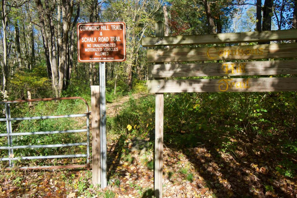
Commons Hill
in Lebanon, CT
Parking: Shoulder parking near 359 Trumbull Hwy Lebanon, CT
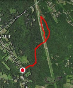
Trail Map Trails: 2.3 miles Rating: ★☆☆☆☆
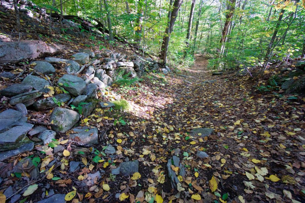
Starting off right next to the Liberty Hill Cemetary the trail starts on Old Schalk Road. I’d like to know the history of the former road, which connects Rt. 289 to modern day Schalk Rd. The trail was mostly a stream when I visited, though I’m sure this is due to the recent fall rains and hopefully not its year-round condition. After about a quarter mile the trail forks, the yellow blazes follow the left heading uphill. Heading right would continue on Old Schalk Rd rocky and rutted between tumbling stone walls.
The trail continues as a wide path bordered by No Trespassing signs and the mossy remains of old stone walls. At a fallen tree the trail veers east trading the wide cart path for a narrow forest trail. This section was very muddy until it reached the powerline cut.
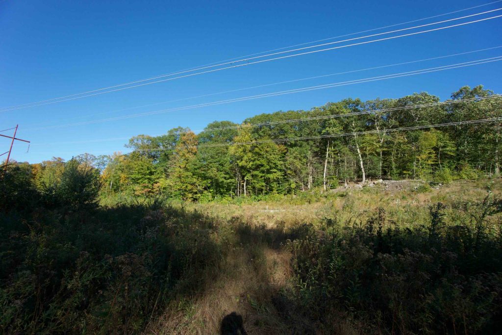
Crossing the utility corridor has an ambiguous reentry into the forest. I walked the opposite border hoping to see a trail blaze, but instead settled for a somewhat distinct tunnel in the trees. If the tunnel is the trail it is unblazed, overgrown, and less established than everything before the powerlines. I followed it expecting to hit a loop and instead hit a heavy machinery road of deeply rutted woodchips. I think the expansion of the powerlines a few years ago obliterated the loop that existed here or at least its obvious path.
I followed the heavy machinery road hoping it somehow followed what the path would have been. It returned me to the powerlines, which I followed back to the Commons Hill trail I entered on.
History:
Links:
The information shown here is for general reference purposes only. exploreCT.org gives no warranty, expressed or implied, as to the accuracy or reliability of this data. Parking in all areas, whether designated here or not, is at your own risk. exploreCT.org is not responsible for any damage or loss to vehicles or contents.
Last updated Oct. 14, 2018
Visited 1524 times, 1 Visits today