Site logo
    • Explore
      • Blue-Blaze Trails
      • Land Trusts
      • State Parks and Forests
      • By Town
    • exploreCT+
      • Membership
      • Shop
      • Events
    • Blog
    • Town Guides
    Sign in or Register
    Listing cover image

    Castlerock Lane

    • Trails
      1 miles
    • Rating
      ★☆☆☆☆
    • Address
      58 Castlerock Ln, Bolton, CT 06043, USA
    • Explore
    • Trail Map
    • Reviews 0
    • New Page
    • prev
    • next
    • Bookmark
    • Share
    • Get directions
    • Report
    • prev
    • next
    At A Glance

    Bolton Land Trust

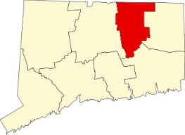
    32 acres in Bolton, CT

    Parking: At the cul-de-sac at the ned of Castlerock Lane Bolton, CT

    Trail Map          Trails: Less than a mile        Rating: ★☆☆☆☆

    Hiking

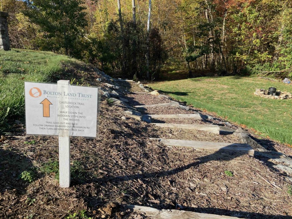
    Castlerock Lane starts on the right side of the cul-de-sac on some rough wood steps leading down into the woods.  The trail appears to be an old woods road for a few hundred feet as it passes behind a house before turning off into Warner Swamp.

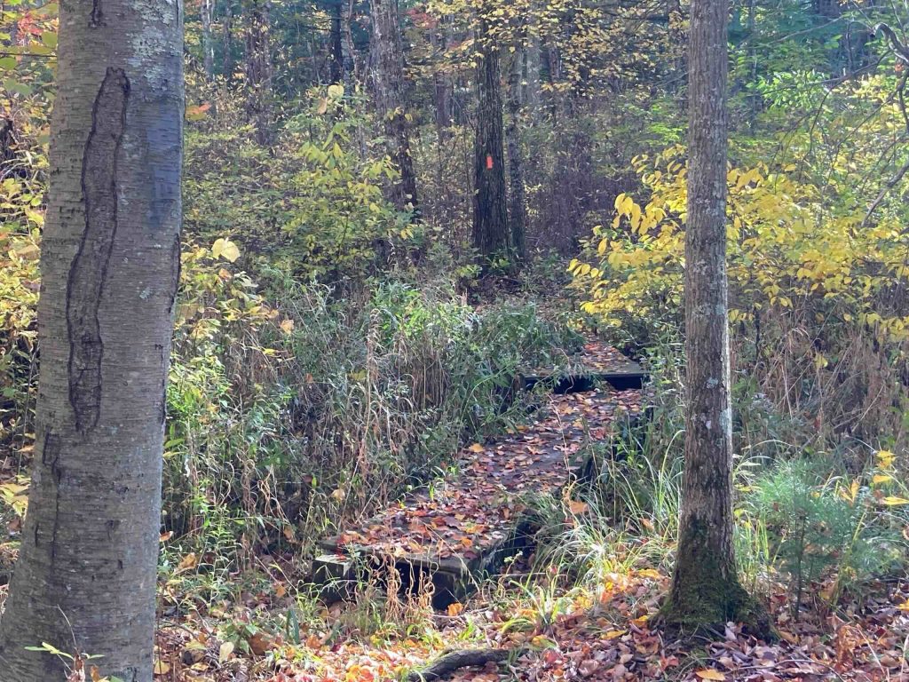
    Thankfully, Warner Swamp isn’t particularly swampy and there were only two bridges over seasonal stream beds.  The trail here isn’t particularly interesting, but about midway through the swamp on the second bridge where the understory is the densest it had a certain beauty to it.

    As the trail leaves the swamp it again edges up against private property.  Each house appears to have their own access point to the trail, but it was also at it roughest.  An old tree in this stretch still had a few strands of barbed wire sticking out.

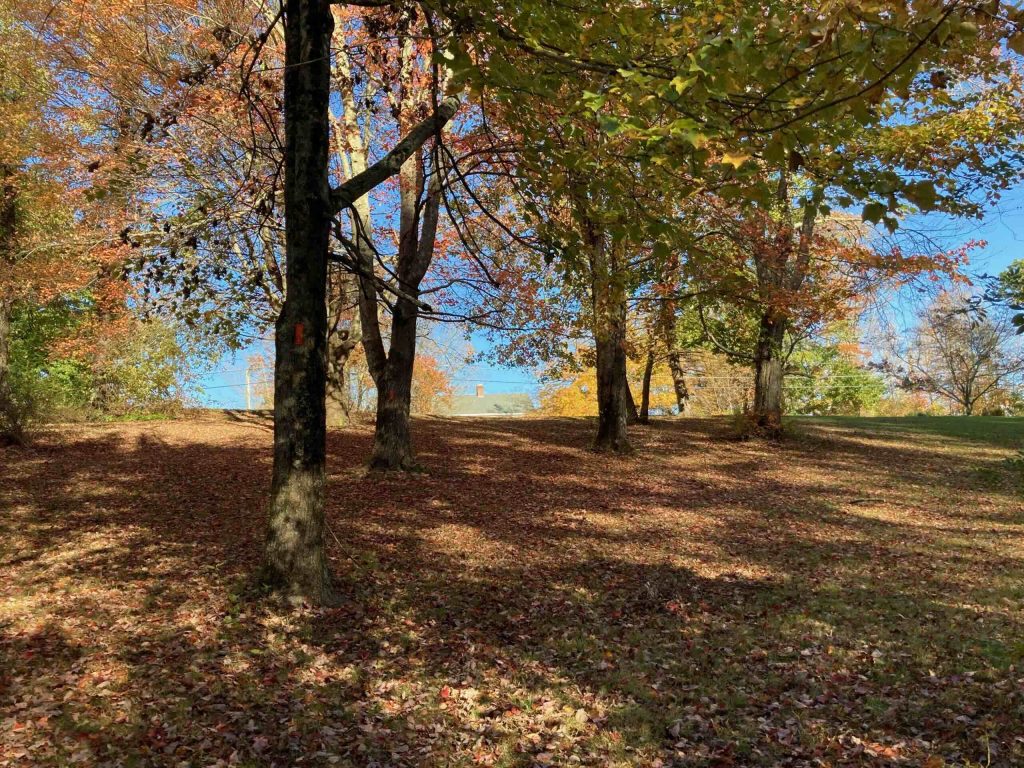
    There’s a wide gap between houses and the trail climbs the hill to Hebron Rd, but not for any real reason, the only option is to retrace your steps back to the parking area.

    History

    Preserved in 2005 when it was donated by Carl McAllister.

    Links

    CTMQ – BLT: Castlerock Lane (2020)

    Tags
    • ★☆☆☆☆
    • 2020
    • Explored
    • Bolton
    • Bolton Land Trust
    • Tolland County
    Last Updated

    The information shown here is for general reference purposes only. exploreCT.org gives no warranty, expressed or implied, as to the accuracy or reliability of this data. Parking in all areas, whether designated here or not, is at your own risk. exploreCT.org is not responsible for any damage or loss to vehicles or contents. Last updated: October 14th, 2020

    Trail Map
    Location
    • 58 Castlerock Ln, Bolton, CT 06043, USA

      Get Directions
    Gallery
    Categories
    • Hiking
    Gallery
  • No comments yet.
  • Add a review

    Leave a Reply · Cancel reply

    You must be logged in to post a comment.

    You May Also Be Interested In

    Spruce Brook Falls

    • ★★★★★
    • 16 miles
    Featured
    FW6F+CW Beacon Falls
    • Quick view
    • Bookmark

    White Oak Preserve

    • Unexplored
    • 0.2 miles
    600 Raymond Hill Rd
    • Quick view
    • Bookmark

    Woodlands Nature Preserve

    • Unexplored
    • 0.5 miles
    99 Beacon Hill Dr
    • Quick view
    • Bookmark

    Hi, I’m Matt.

    I’m building ExploreCT to be the guide for all your outdoor adventures. All the trails, views, and waterways this great state has to offer.

    Now get out and explore!

    Monthly Newsletter

    Each month I share site updates or an interesting article in my newsletter. It’s short, sweet, and practical.

    600+ explorers read it, I’d love for you to join.

    Thank you!

    You have successfully joined our subscriber list.

    X-twitter Youtube Envelope Instagram

    Cart

      • Facebook
      • X
      • WhatsApp
      • Telegram
      • LinkedIn
      • Tumblr
      • Reddit
      • VKontakte
      • Mail
      • Copy link
      • Share via...
      • Threads
      • Bluesky