Bulkeley Hill Preserve

Colchester Land Trust

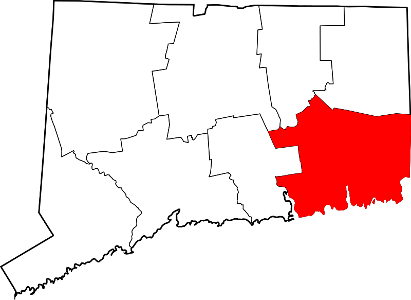
130 acres in Colchester, CT

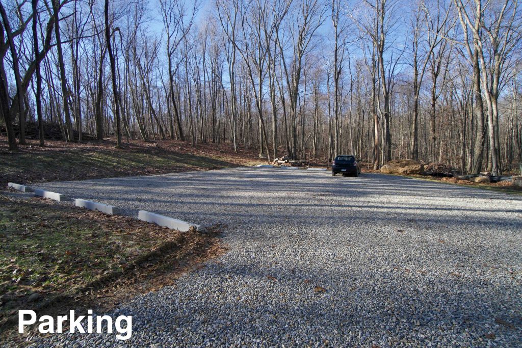
Parking: Small lot near 247 Bulkeley Hill Rd Colchester, CT

Trail Map              Trails: 1.5 miles          Rating: ★★☆☆☆


On a tip from a reader (thanks Brian!) I heard that the parking lot for Bulkeley Hill was finally complete and trails were open.  I had driven past the area a couple times hoping to find this spot, but never had any luck.  The official trail map is in its final stages I’m told and I’ll update the incomplete one above when it is.

Hiking

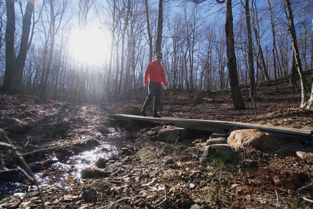
The trails start on either end of the parking lot.  The more obvious trailhead at the back heads on white blazes a short distance to quickly cross a seasonal stream.  On a cold December morning with recent heavy rains the stream had a rush to it and much of the trails were crunchy with ice crystals which might mean they will be wet the rest of the year.

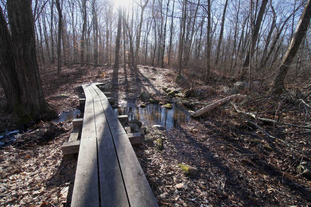
The white trail gradually heads uphill to connect to the red loop which appears to at least be, in part, an old woods road.  I turned right to stay on the outside loop and followed the blazes again heading gradually uphill.  At the back of the loop was a well built bridge over another unnamed stream.  It was covered in recent wet footprints.  They looked like dog, but given how fresh they were and no one else around the size seemed large enough for a coyote and another smaller set that could have just been a squirrel.  I’m sure my feet crunching on ice gave them plenty of time to run off, but I saw another set of the coyote-like tracks running along the second bridge a bit further down the trail.

I also love the style of bridge, rustic and sturdy, but not overbuilt and blend well with the scenery.  At the next fork in the trail is a red/white blaze to complete either loop, but I switched to the white again which returns to the parking area.

I missed an extension of the red trail in this area which on the draft trail map notes an overlook.  I can’t yet comment on the view, but I’m sure a trail sign will be added if the view is worthy of noting on the map.

History:

The majority of the property was preserved in 2016.


Links:

The information shown here is for general reference purposes only. exploreCT.org gives no warranty, expressed or implied, as to the accuracy or reliability of this data. Parking in all areas, whether designated here or not, is at your own risk. exploreCT.org is not responsible for any damage or loss to vehicles or contents.
Last updated December 27th, 2020

Visited 3078 times, 1 Visits today

Related Listings

Neck River Trail

Unexplored

201 Opening Hill Rd, Madison, CT, USA

Neck River Trail Madison Land Trust and Connecticut State Forest 79.85 acres in Madison, CT (12.85 land trust and 67 state property) Parking: Small pull-off near 201…

Woodland Warbler Preserve

★★☆☆☆

41.482747, -72.310035

Woodland Warbler Preserve Salem Land Trust 272 acres in Salem, CT Parking: Shoulder parking near 349 West Rd Salem, CT Trail Map           Trails:…

Coney Rock

★★★☆☆

41.794751, -72.202390

Coney Rock Preserve Joshua’s Trust Property and Town of Mansfield Park Location: 134 acres in Mansfield, CT Parking: Small pull-off near 501 Chaffeeville Rd Storrs, CT Shoulder… Read more…