Site logo
    • Explore
      • Blue-Blaze Trails
      • Land Trusts
      • State Parks and Forests
      • By Town
    • exploreCT+
      • Membership
      • Shop
      • Events
    • Blog
    • Town Guides
    Sign in or Register
    Listing cover image

    Buckingham Park

    • Trails
      2 miles
    • Rating
      ★★☆☆☆
    • Address
      1249 Manchester Rd, Glastonbury, CT 06033, USA
    • Explore
    • Trail Map
    • Reviews 0
    • New Page
    • prev
    • next
    • Bookmark
    • Share
    • Get directions
    • Report
    • prev
    • next
    At A Glance

    Glastonbury Town Park

    40 acres in Glastonbury, CT

    Parking: Medium sized lot near 1285 Manchester Rd Glastonbury, CT

    Trail Map           Trails: 1.5 miles        Rating: ★★☆☆☆

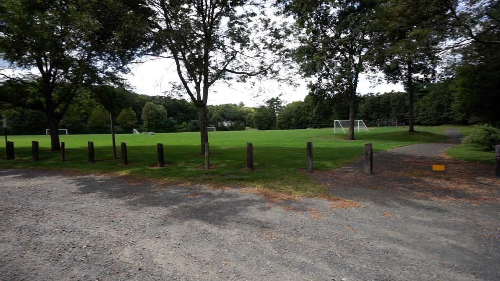
    Buckingham in its early days was known for its ball fields, playground, and a ” an easy half-mile stroll”.  The ballfields and playground are definitely the main attraction but the trails seem to have expanded a bit.

    Hiking

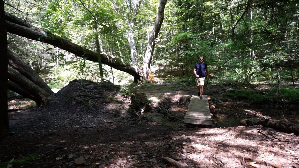
    The trails now include a junction to the cul-de-sac on Heritage Dr and extend east for a good distance though I'm sure this technically leaves the park's property.  I didn’t even reach the end of the east spur trail, I just turned around when it crossed Myer’s Brook again.  The trails extend north of the parking lot.  There is another fork of the north end of the loop that likely completes another loop, but I'm sure this is technically off park property too.  There were no signs marking private property on my 2019 visit.

    The trails seem to be well used and easy to follow.  Dirt bikes are likely the main traffic on the extended trails based on the tire marks and ruts.  There isn’t much of a draw here for non-locals, but it was certainly a nice tromp in the woods.

    History

    The ball fields were built in 1991/2.

    Tags
    • ★★☆☆☆
    • Explored
    • 2019
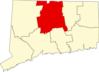
    • Glastonbury
    • Hartford County
    Last Updated

    The information shown here is for general reference purposes only. exploreCT.org gives no warranty, expressed or implied, as to the accuracy or reliability of this data. Parking in all areas, whether designated here or not, is at your own risk. exploreCT.org is not responsible for any damage or loss to vehicles or contents. Last updated Sept. 1, 2019

    Trail Map
    Location
    • 1249 Manchester Rd, Glastonbury, CT 06033, USA

      Get Directions
    Gallery
    Categories
    • Hiking
    Gallery
  • No comments yet.
  • Add a review

    Leave a Reply · Cancel reply

    Your email address will not be published. Required fields are marked *

    Overall Rating

    You May Also Be Interested In

    Spruce Brook Falls

    • ★★★★★
    • 16 miles
    Featured
    FW6F+CW Beacon Falls
    • Quick view
    • Bookmark

    Thach Preserve

    • ★★☆☆☆
    • 1 miles
    123 Brush Hill Rd
    • Quick view
    • Bookmark

    Mendell's Folly

    • ★★★★☆
    • 3.8 miles
    390 Beacon Rd
    • Quick view
    • Bookmark

    Hi, I’m Matt.

    I’m building ExploreCT to be the guide for all your outdoor adventures. All the trails, views, and waterways this great state has to offer.

    Now get out and explore!

    Monthly Newsletter

    Each month I share site updates or an interesting article in my newsletter. It’s short, sweet, and practical.

    600+ explorers read it, I’d love for you to join.

    Thank you!

    You have successfully joined our subscriber list.

    X-twitter Youtube Envelope Instagram

    Cart

      • Facebook
      • X
      • WhatsApp
      • Telegram
      • LinkedIn
      • Tumblr
      • Reddit
      • VKontakte
      • Mail
      • Copy link
      • Share via...
      • Threads
      • Bluesky