Boston Turnpike Trail

Eastford Town Park / Connecticut State Forest

104 acres in Eastford, CT

Parking: Small lot near 145-101 CT-198, Pomfret, CT

Trail Map         Trails: 1.6 miles          Rating: ★★★☆☆


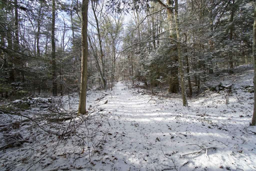
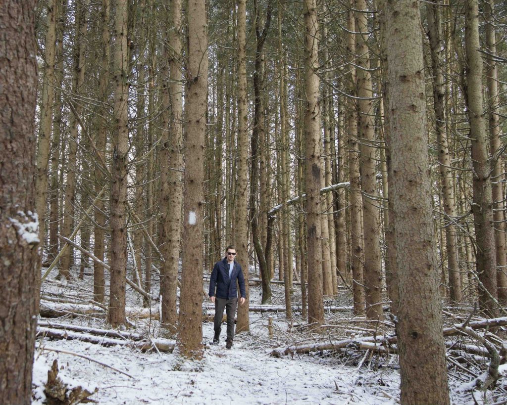
From the pull off right next to the entrance to John Perry Road a faint trail blazed in white heads off around the bend of a marshy area.  I was skeptical it was there as I pulled into small parking area, but a little poking around in the woods along the edge led me to the trail.  And what a treat it turned out to be amidst some newly fallen snow.

Hiking

The trail works its way around a marshy area next to the road and forks.  The right fork leads up to the old turnpike and the left fork leads to the forested loop.  The trail isn’t very clear, but was easy enough to follow even covered in snow.

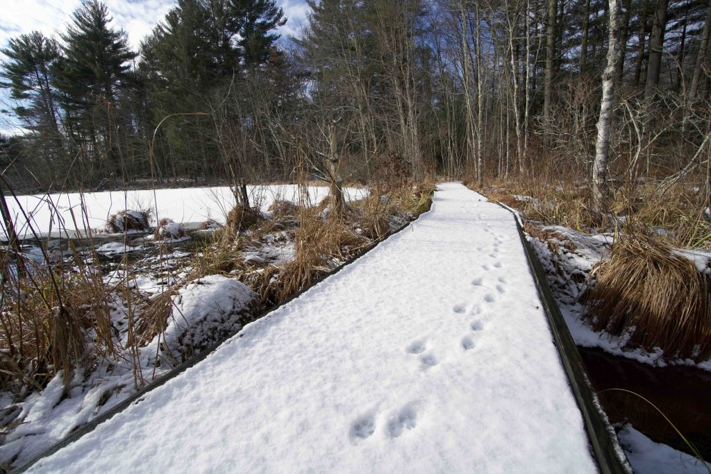
Up on the old turnpike and immediately noticed the tracks of a bobcat who was only one to beat me out onto the trail that morning.  I admired the stone walls lining both sides of the path whose function was to allow cattle to follow the road, but since they weren’t allowed on the actual road, room was provided on either side by the stone walls.  The turnpike is in fairly good shape despite the years and soon reaches a narrow strip crossing a marsh which leads to a small pond.  A boardwalk has been built to cross the area and a bench is provided for viewing.

Just beyond the marsh is a Natchaug State Forest road and the remains of the turnpike head through them to Old Colony Road.  I turned back through the marsh to catch the loop trail back to the parking which passes a small meadow, pines planted long ago by the DEEP, and a tiny cascade running down a hill.

History:

I’m not sure how long the state has owned this parcel of the Natchaug State Forest, but the trail was completed in 2006 thanks to the Eastford Conservation Commission and The Last Green Valley.

This 0.4 mile section of the old Boston Post Road is the last remaining in its original state, it was part of the Middle Route that ran east from Hartford to Putnam after the colonists widened a Native American path in the late 1600s.  It became a turnpike when towns were allowed to charge tolls to provide for upkeep for the road.


Links:

The information shown here is for general reference purposes only. exploreCT.org gives no warranty, expressed or implied, as to the accuracy or reliability of this data. Parking in all areas, whether designated here or not, is at your own risk. exploreCT.org is not responsible for any damage or loss to vehicles or contents.
Last updated January 4th, 2021

Visited 3198 times, 3 Visits today

Related Listings

East River Preserve

★★☆☆☆

16 Sullivan Dr, Guilford, CT, USA

East River Preserve Guilford Town Park 635.1 acres in Guilford, CT Parking: Small pull-off near 494 Clapboard Hill Rd, Guilford, CT Medium sized lot near 16 Sullivan…

Collis P. Huntington State Park

★★★☆☆

50 Sunset Hill Rd Redding, CT

Collis P. Huntington State Park Connecticut State Park 883 acres in Bethel, Newtown, and Redding, CT Parking: Large lot near 50 Sunset Hill Rd Redding, CT 2 medium…

Shenipsit Trail: South Terminus

★★★☆☆

41.576774, -72.551996

Shenipsit Trail – South Terminus at Great Hill Connecticut Blue Blaze Trail – Shenipsit in Portland, CT Parking: Small lot and shoulder parking off gravel Gadpouch Rd…