Bluff Point State Park

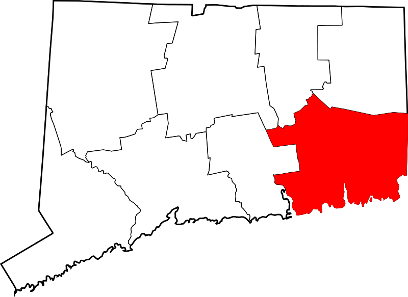
806 acres in Groton, CT
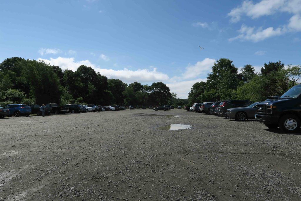
Parking: Large lot near 55 Depot Rd, Groton, CT

Trail Map             Trails: 5 miles       Rating: ★★★☆☆


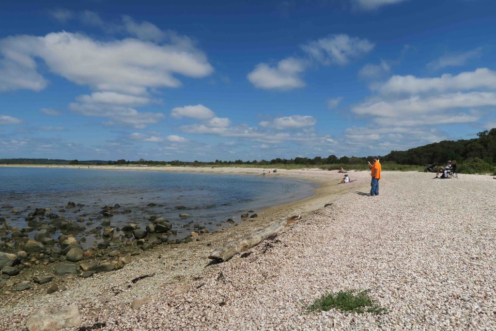
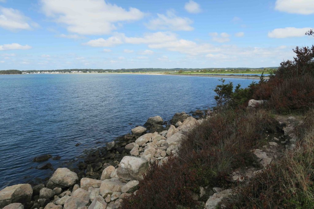
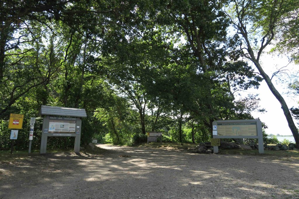
Bluff Point is a very popular state park along Fishers Island Sound and is one of only two undeveloped sections of coastline in the state (the other is Barn Island).  Mainly used for casual walks and biking there is also a boat launch and areas for fishing or shell fishing (permit required).  Highlights of the park include the view from Bluff Point, Sunset Rock, and the John Winthrop house foundation.
Hiking
The most common hike as Bluff Point is out to the beach and back on the wide old farm road which is 1.3 miles and takes 30 minutes one way.  The trail follows the Poquonnock River nearly the entire way with shallow marshy views and the Groton Airport across the water.  The hike can easily be turned into a loop by following the main path past the Point and into the woods for the return trip.
Bluff Point is also part of the Groton Cross Town Trail which connects north to nearby Haley Farm State Park by a mile long trail in between Mumford Cove and the Amtrak railway.
Mountain Biking
Mountain bikers have expanded the trails well past the standard loop hiking trail and the area is very popular, but I haven’t explored Bluff Point by bike.
Boating / Fishing
No details on boating or fishing currently.

History:

In the 1930s Bluff Point had at least 100 shacks and cottages as a kind of summer resort called Bluff Point Colony. In 1938 the residents of the community were told they were being evicted and had to leave by October 1st, but nearly the entire point was swept clean by the 1938 Hurricane.

Established as a state park in 1963 though acquisition of the entire point wasn’t completed until 1974.

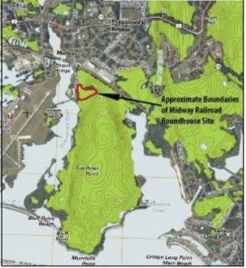
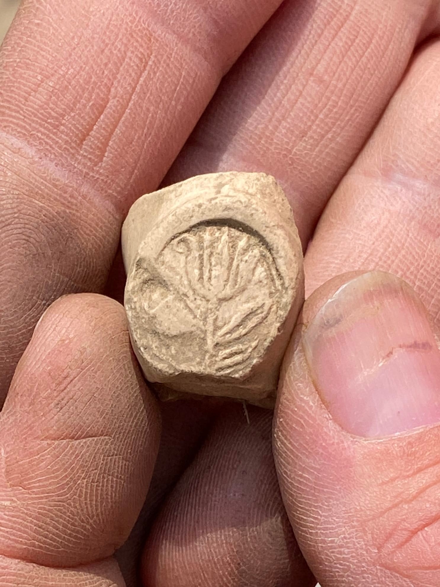
In 2015, thanks to work by Greg Kent and Dr. Sara Mascia Midway Railroad Roundhouse Archaeological Complex was rediscovered, researched, and added to the State Register of Historical Places.  The Midway Roundhouse was built in 1904 containing 20 train stalls and the area once contained the massive railroad roundhouse and turntable, as well as a coal tower, sand houses, bunk houses, a hotel, ash pits, and an icing facility for the combined New York, New Haven & Hartford Railroad. Upgraded in 1917 it lost status over the years and struggled through the Great Depression eventually being razed in 1939.  Today you can see the remains of the turntable in the northwest corner of the park.

This park was featured in the 2016 and 2022 Sky’s the Limit Hiking Challenges.


The information shown here is for general reference purposes only. exploreCT.org gives no warranty, expressed or implied, as to the accuracy or reliability of this data. Parking in all areas, whether designated here or not, is at your own risk. exploreCT.org is not responsible for any damage or loss to vehicles or contents.
Last updated August 2020

Visited 9236 times, 1 Visits today

Related Listings

Wooster Mountain State Park

Unexplored

41.351877, -73.474826

Wooster Mountain State Park Connecticut State Park 444 acres in Danbury, CT Parking: Small lot near 74 Sugar Hollow Rd, Danbury, CT Trail Map       Trails:…

Natchaug State Forest: Perry Hill

★★☆☆☆

41.880034, -72.194366

Natchaug State Forest: Perry Hill Connecticut State Forest and Blue Blaze Trail in Ashford, CT Parking: North end – Shoulder parking near 68-198 Oakes Rd Ashford, CT… Read more…

Babcock Pond

★☆☆☆☆

653 Middletown Rd, Colchester, CT, USA

Babcock Pond WMA Connecticut Wildlife Management Area 1,524 acres in Colchester, CT Parking: Boat launch: Small lot near 653 Middletown Rd, Colchester, CT Trails: Small lot near…