Babcock Pond WMA

Connecticut Wildlife Management Area

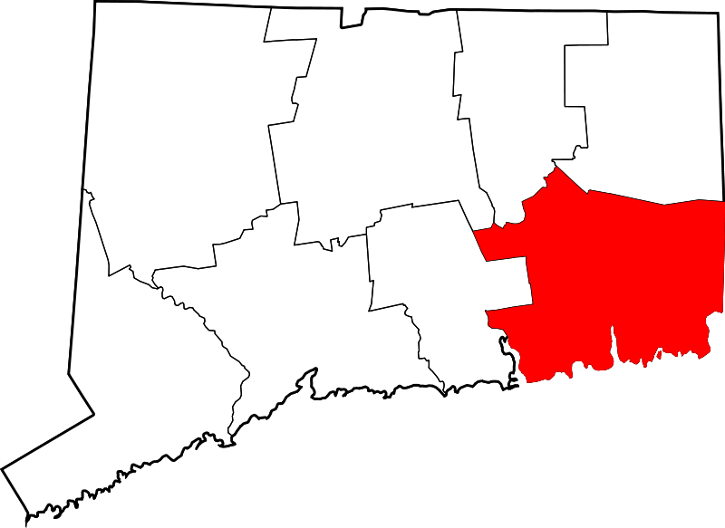
1,524 acres in Colchester, CT

Parking:

Trail Map       Trails: 4 miles      Rating: ★☆☆☆☆


Babcock Pond is one of the largest wildlife management areas in Connecticut and is definitely the largest east of the Connecticut River.  It can effectively be broken into the boat launch and the hiking/hunting sections.

Boating

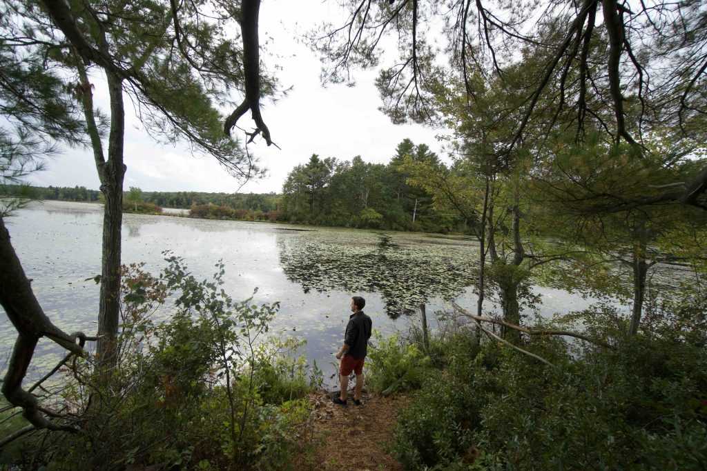
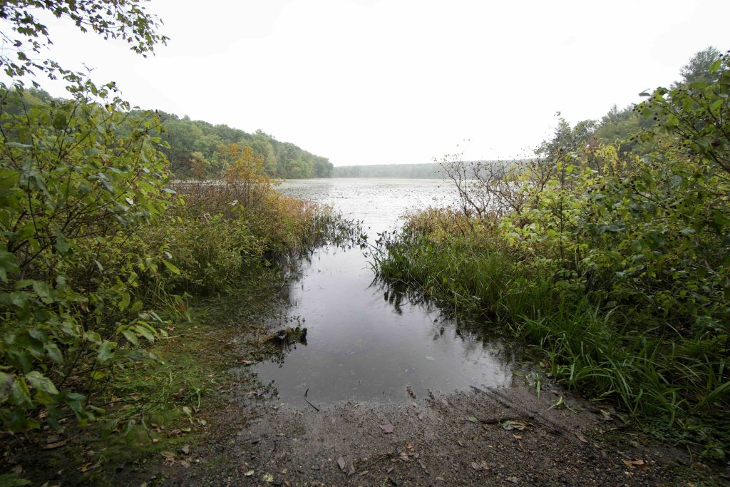
The boat launch off Rt. 16 is a small carry-in that launches among the reeds.  I knew the water level would be pretty low on my visit so I skipped brining the kayak.  Thankfully Kayaking with Lou has an account of her paddle.  There are short trails off the boat launch, though mostly for fishing access the one to the right heads off for about 0.2 miles to a point under a massive pine with a panorama of the pond.

Hiking

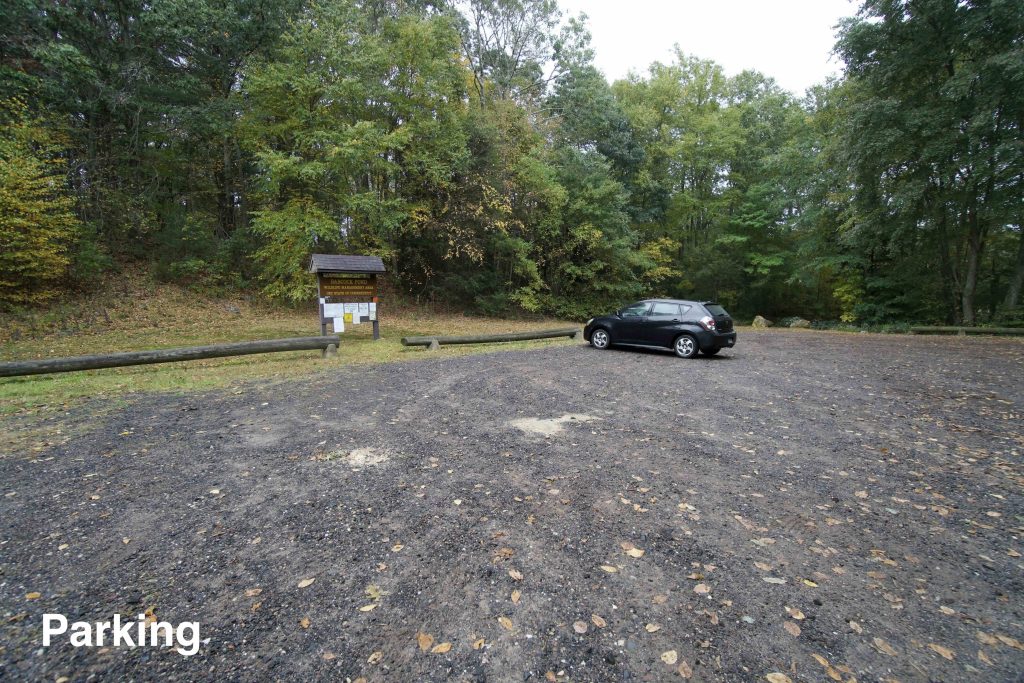
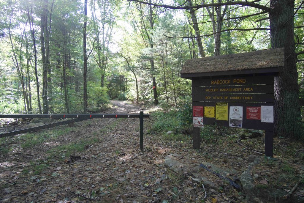
I find it hard to recommend hiking here.  Miles Standish Road is a deeply rutted single lane road and the official parking is most of the way in towards Carrier Rd.  The official parking area claims to be handicap accessible, but the gravel ramp is just as rutted as the road.  I stopped at a small pull-off next to a gate (where the “trail map” above starts).

The western out and back trail is some kind of access road for mowing the fields that you’ll eventually reach.  It then follows a narrow slash of land to an island covered in towering pines.  If it weren’t for one flooded section of trail you could likely continue to the other side of the pond.

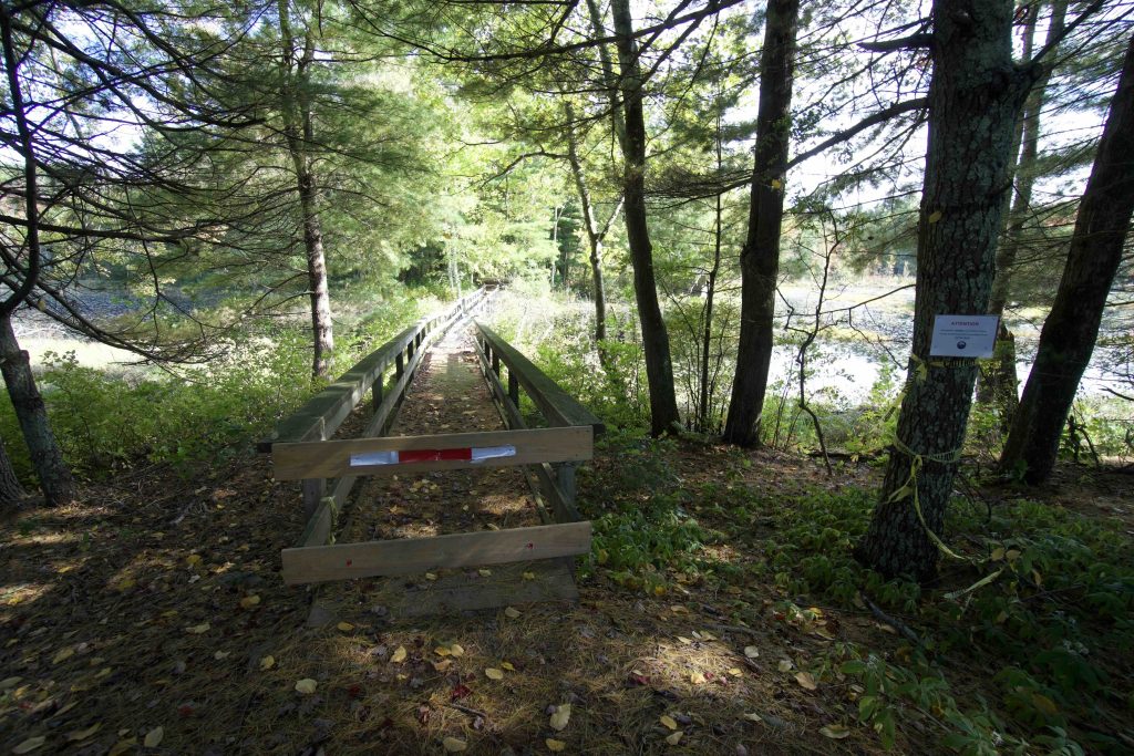
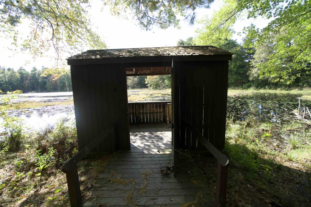
The other leg of trails heads to large fields on on the southeast side of the pond.  A collapsing bridge (that is officially closed) at the back of the fields provides access to a well built waterfowl hunting blind.  The blind is technically handicap accessible, but you’d really have to want to get there.  The blind was originally built in the 1980s but was renovated in early 2018 (including the “doggy door” for hunting dogs) after years of vandalism thanks to funds from the Connecticut Waterfowlers Association. From there the trail continues on to where Miles Standish and Carrier Roads meet.

So yes there are what amount to gravel roads you can hike here, but I bet more hunters than hikers use the property and there isn’t much to catch your eye aside from the novelty of a different location.

History:


Links:

The information shown here is for general reference purposes only. exploreCT.org gives no warranty, expressed or implied, as to the accuracy or reliability of this data. Parking in all areas, whether designated here or not, is at your own risk. exploreCT.org is not responsible for any damage or loss to vehicles or contents.
Last updated October 2nd, 2020

Visited 5240 times, 1 Visits today

Related Listings

Barn Island

★★★★☆

41.340596, -71.874711

Barn Island Wildlife Management Area Connecticut Wildlife Management Area 1,013 acres in Stonington, CT Parking: West Side: Shoulder parking and boat launch near 249 Palmer Neck Rd,…

Billings Lake

Unexplored

41.508947, -71.874691

Billings Lake Connecticut State Forest and Water Access 40 acres in North Stonington, CT Parking: Small lot near 100 Billings Lake Road, North Stonington, CT Trail Map …

Soapstone Mountain

★★★★☆

41.961605, -72.408513

Soapstone Mountain Connecticut State Forest 1800 acres in Ellington, Somers, and Stafford, CT Parking: Medium sized lot near 399 Gulf Rd, Somers, CT Trail Map     …