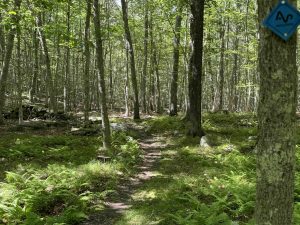
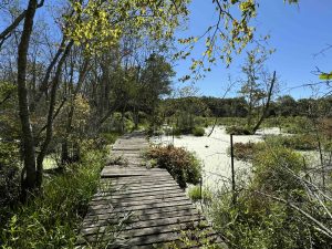
The Avalonia Land Conservancy is one of the largest land trusts in Connecticut preserving 4000 acres in the southeastern part of the state within the towns of Griswold, Groton, Ledyard, North Stonington, Preston, and Stonington.
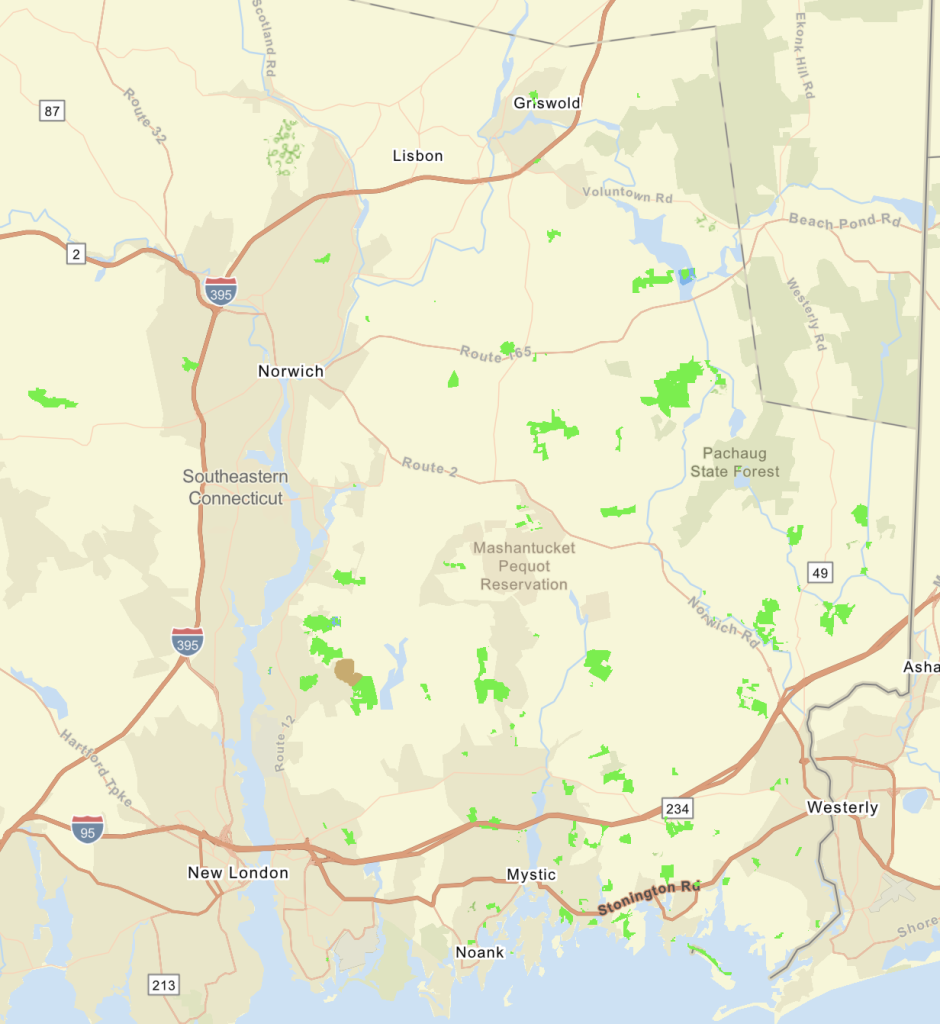
This is a partial/incomplete listing as I have not yet explored the Fennerswood Preserve.
History:
Preserved in 1984.
Links:
The information shown here is for general reference purposes only. exploreCT.org gives no warranty, expressed or implied, as to the accuracy or reliability of this data. Parking in all areas, whether designated here or not, is at your own risk. exploreCT.org is not responsible for any damage or loss to vehicles or contents.
This is a partial/incomplete listing as I have not yet explored the Deans Mill Wildlife Corridor.
History:
Preserved in 1992.
Links:
The information shown here is for general reference purposes only. exploreCT.org gives no warranty, expressed or implied, as to the accuracy or reliability of this data. Parking in all areas, whether designated here or not, is at your own risk. exploreCT.org is not responsible for any damage or loss to vehicles or contents.
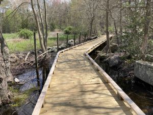
Cedar Wood Preserve is meant to be ADA accessible and work is well underway. The parking lot has a handicap accessible parking spot and unloading zone and the entrance trail and boardwalk are being improved to offer maximum accessibility. Work isn’t complete yet so always consider supporting Avalonia so they can continue their great work!
Hiking
I hiked the outermost loop here though at the time a trail map wasn’t available so I just kept taking whatever option looked like it would take me the farthest. Now there is an official trail map, the loops are clear and well blazed and you can easily get a nice 1.5 mile hike here.
From the parking area, passing the trailhead sign, the trail starts on a wet grassy area and a boardwalk pinched between private property and a flooded stonewall at the edge of a farm field. The trail then opens largely open fields that I was surprised to learn were farmed as recently as 2o17. You happen to be looking directly into someone’s back yard but you head back through the fields and among the eponymous cedars. As you enter the woods you’ll encounter the blue blazed trail which I took right towards the cell tower.
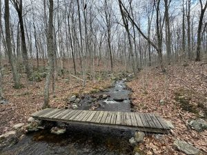
This quickly leads you to the yellow trail which descends gradually and can be used to reconnect to the blue for a shorter inner loop. I took the red trail which follows a gully down to a marshy stream near I-395 at the edge of the property. I found it funny that the red trail crosses the stream on a rock hop and 30 feet away behind some No Trespassing signs is a well built little bridge. Hard to imagine the private property use that wouldn’t just allow the trail to use its little bridge.
The red trail works its way back to connect to the blue and the most picturesque seciton in my opinion with rocky outcrops among old pines. Two sections of trail were wet here after a day of rain which required careful footwork but I soon connected back to the open fields completing the outer loop hike for 1.4 miles.
History
Preserved in 2021. The official opening of the trails was on November 19th, 2022.
The information shown here is for general reference purposes only. exploreCT.org gives no warranty, expressed or implied, as to the accuracy or reliability of this data. Parking in all areas, whether designated here or not, is at your own risk. exploreCT.org is not responsible for any damage or loss to vehicles or contents.
The Benedict Benson Preserve is a small out of the way property with a nice lasso loop just past the Stonington Institute. The small parking area has a nice kiosk and signage about Benedict Benson who sounds like he lived an long interesting and happy life at the property here (see a summary in the history section below)
Hiking
This short 1.17 lasso loop heads off the left side of the parking area heading gradually downhill passing along old farm stonewalls. The trail soon forks into a loop with another brief downhill with at least one short area flooded after recent rains. Thankfully the property is rocky enough to make the area passable and it is likely dry most of the year.
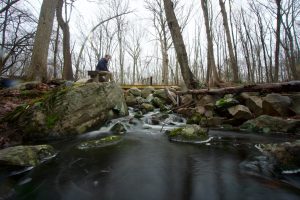
At the far side of the loop the trail crosses a short bridge over Lantern Brook with a nice view upstream. The sound of rushing water off in the distance suggested a little cascade. As the trail turns uphill past the bridge you climb to a rocky ledge area. I had hoped it would provide a view of whatever that rushing water was, but no such luck.
The next stretch is likely an old farm road through the woods and passes near the back of private property just shy of an old rusted car. The old farm road continues towards the private property but the yellow trail curves to the right. I was so distracted by the car I almost missed it. One more rocky stream crossing and the loop completes taking the original trail back up to the parking area.
History
Preserved in 2016 when it was donated by Mimi and Brad Borden and named in honor of Benedict Bengt Benson, the first owner of the property and grandfather of Mrs. Borden.
Benedict lived from 1862-1957. He was born in Sweden and immigrated to American at 17. He lived in Boston and Rhode Island before moving to North Stonington in 1914. Here he ran a farm, raised seven children, and crafted furniture. A signboard at the trailhead give a more complete history.
Links
The information shown here is for general reference purposes only. exploreCT.org gives no warranty, expressed or implied, as to the accuracy or reliability of this data. Parking in all areas, whether designated here or not, is at your own risk. exploreCT.org is not responsible for any damage or loss to vehicles or contents.
This is a partial/incomplete listing as I have not yet explored Bell Cedar Swamp.
History:
Preserved in 2011.
Links:
The information shown here is for general reference purposes only. exploreCT.org gives no warranty, expressed or implied, as to the accuracy or reliability of this data. Parking in all areas, whether designated here or not, is at your own risk. exploreCT.org is not responsible for any damage or loss to vehicles or contents.
This is a partial/incomplete listing as I have not yet explored the Antonino Preserve.
History:
Preserved in 2018.
Links:
The information shown here is for general reference purposes only. exploreCT.org gives no warranty, expressed or implied, as to the accuracy or reliability of this data. Parking in all areas, whether designated here or not, is at your own risk. exploreCT.org is not responsible for any damage or loss to vehicles or contents.
Trail MapTrails: 1.3 miles Trail Difficulty: Moderate to Difficult ⓘ Rating System:Easiest – Paved, Accessible Trail
Easy – Dirt, mostly smooth and wide
Moderate – Rolling terrain, variable width, standard rocks and roots
Difficult – Steep elevation and/or challenging
Strenuous – Likely long or technical segments with possible drops/exposure.Rating: ★★☆☆☆ ⓘ Rating System:★☆☆☆☆ – Unmaintained, short hike, or not much to explore
★★☆☆☆ – Enjoyable short hike usually for locals
★★★☆☆ – Great hike with highlights, worth seeking out
★★★★☆ – Great area to explore worth repeat visits
★★★★★ – Must-see
I started my hike of these two properties from the north end on Reutemann Road heading downhill through the Erisman Woodlands. The trail appears to have been freshly ‘meandered’ meaning what used to be a straight shot downhill has been curved this way and that, likely for long term trail sustainability and water management.
At the bottom of the hill you cross a bridge over a small stream and the trail immediately forks into a loop. I took the right fork again heading uphill following the shape of the stream. The trail turns at a stone wall and again is freshly meandered from the straight line of the wall to cleared paths in the understory. For the next quarter mile the trail is mostly flat through an open forest. You can tell you’re getting close to Babcock Ridge when the understory comes to life again.
Here the trail forks again into a second loop I took the right fork to follow the line of the ridge and eventually take a fairly steep descent to the bottom of the ridge. A yellow crossing trail along the base of the ridge let’s you view its length and provides an alternate loop option. I continued out to Babcock Road to access the adjacent Shunock Brook Preserve, the two can be easily combined for over five miles of hiking.
Back in the Babcock Ridge I completed the loop, reclimbing the ridge line, popping over another stonewall, and working my way back to the Erisman parking area.
History:
The Avalonia Land Conservancy acquired the Babcock Ridge property in June 2014. The Eriman Woodlands was donated by the trust by Adele Erisman (1909-2014) in December 2011. Adele had been a founding director of the Avalonia Land Conservancy in 1968 originally known as The Mashantucket Land Trust.
The information shown here is for general reference purposes only. exploreCT.org gives no warranty, expressed or implied, as to the accuracy or reliability of this data. Parking in all areas, whether designated here or not, is at your own risk. exploreCT.org is not responsible for any damage or loss to vehicles or contents.
My first hike of Hoffman Evergreen Preserve happened to be the day before it closed for a few months for a timber harvest that alters the land for years to come. I hiked every trail and tried to record as much as I could for posterity and comparison. The timber harvest has long since completed, but I haven’t been back so this description may not be up to date.
Hiking
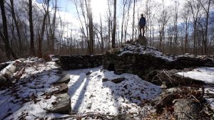
After crossing Rt. 201 I entered the preserve through the gap in the stone wall and followed the red trail over a small hill to follow a long stretch of pine shaded trail along a stonewall.
At the time the orange trail was newly added and not shown on the existing trail map so I followed it noting a small den in a hill just off the trail. The trail soon reached a junction with the red trail which I followed through open pines to a few small stonewall pens.
The red trail dumps you on the loop part of the blue trail at the far end of the property. This section appears to be an old farm road that continued off the preserve’s property but instead the trail loops back on little used trail over a hilly section.
Off the blue trail used to be a “Pine Circle” trail, a short loop through a stunning pine grove, but I’m guessing this area was . Just beyond this area is a slow climb to Bennett’s Yard an old 19th century cemetery. The cemetery features a number of graves dating back to the 1800s.
I returned to the trailhead on yellow and blue trails which were nice extensions to lengthen the hike, but didn’t really offer much for points of interest.
The information shown here is for general reference purposes only. exploreCT.org gives no warranty, expressed or implied, as to the accuracy or reliability of this data. Parking in all areas, whether designated here or not, is at your own risk. exploreCT.org is not responsible for any damage or loss to vehicles or contents.