Site logo
    • Explore
      • Blue-Blaze Trails
      • Land Trusts
      • State Parks and Forests
      • By Town
    • exploreCT+
      • Membership
      • Shop
      • Events
    • Blog
    • Town Guides
    Sign in or Register
    Listing cover image

    Alcorn Wildlife Preserve

    • Trails
      3 miles
    • Rating
      ★★★☆☆
    • Address
      2410 Mountain Rd, West Suffield, CT, USA
    • Explore
    • Trail Map
    • Reviews 0
    • New Page
    • prev
    • next
    • Bookmark
    • Share
    • Get directions
    • Report
    • prev
    • next
    At A Glance

    Hugh M. and Howard W. Alcorn Wildlife Preserves

    Suffield Land Conservancy

    25 acres in Suffield, CT

    Parking: Shoulder parking near 2410 Mountain Road, West Suffield, CT

    Trail Map      Trails: 2.5 miles        Rating: ★★★☆☆

    Hiking

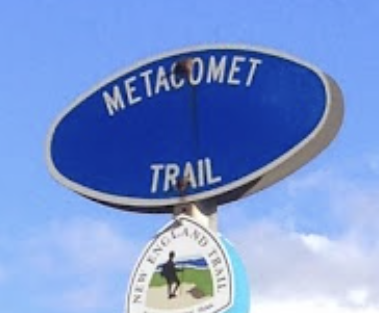
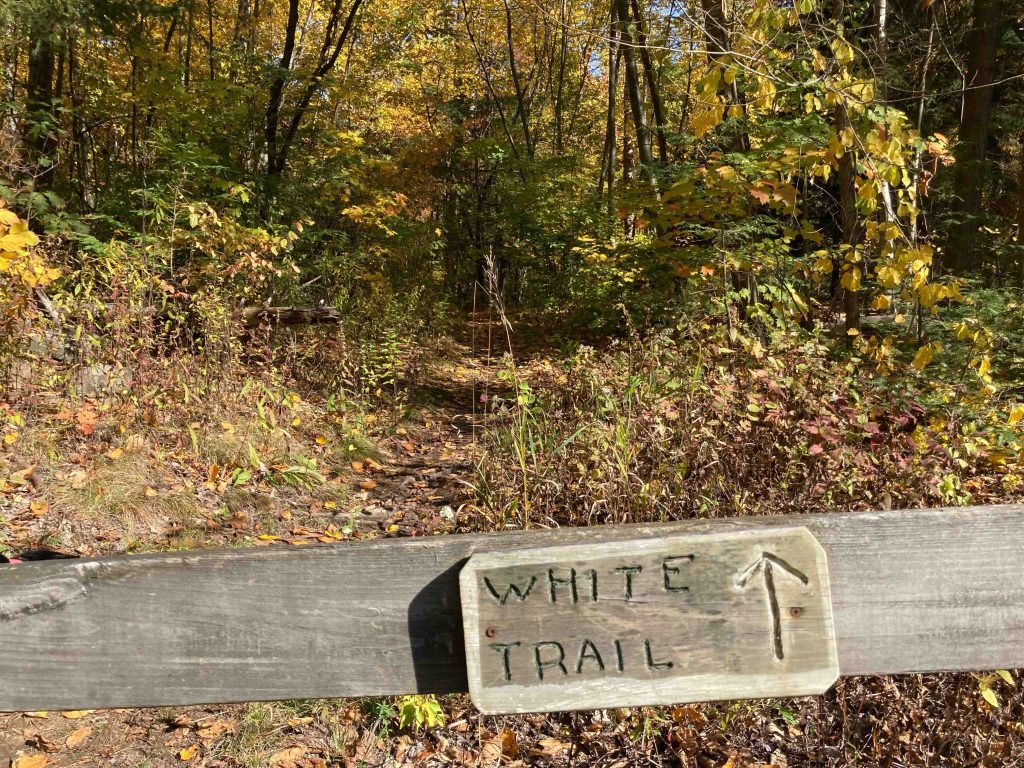
    From the shoulder parking on Mountain Road/Rt. 168 the trail heads off behind a fence with helpful signs pointing you to either this section of the blue blaze Metacomet Trail or the preserve’s white trail.

    I chose the white trail and followed it gradually uphill on a wide path. Almost right away a black squirrel (perhaps more accurately a black morph of the eastern grey squirrel) or mink caught my eye as it bounded off among the trees.  I first thought mink, but it doesn’t seem like there’s enough water in this area.

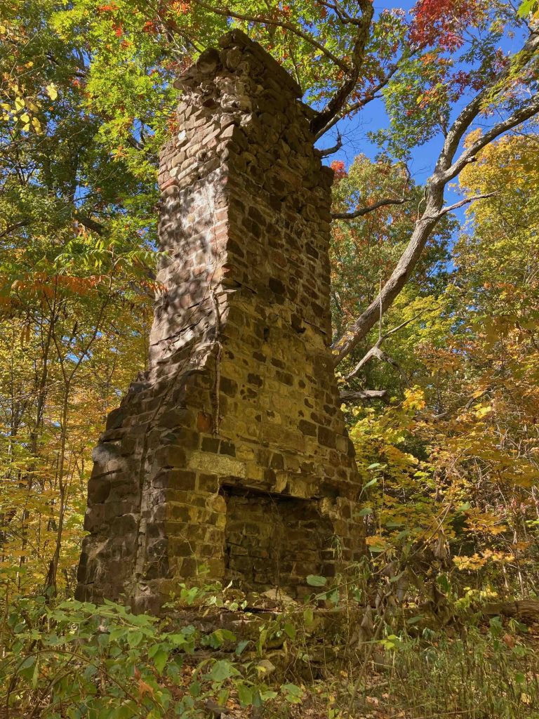
    The trail splits off to the right but I continued uphill for a bit longer until a sign points hard left towards a chimney.  There is an overgrown option which apparently no one takes and I wonder if it loops to the lower split.  Following the sign soon reached the old chimney.

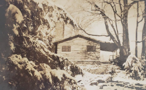
    These are the remnants of a fireplace and chimney oven from the Alcorn summer cottage (compare the old photo in the History section with mine in the photos above). From here the white trail quickly meets back up with the blue blaze Metacomet Trail.

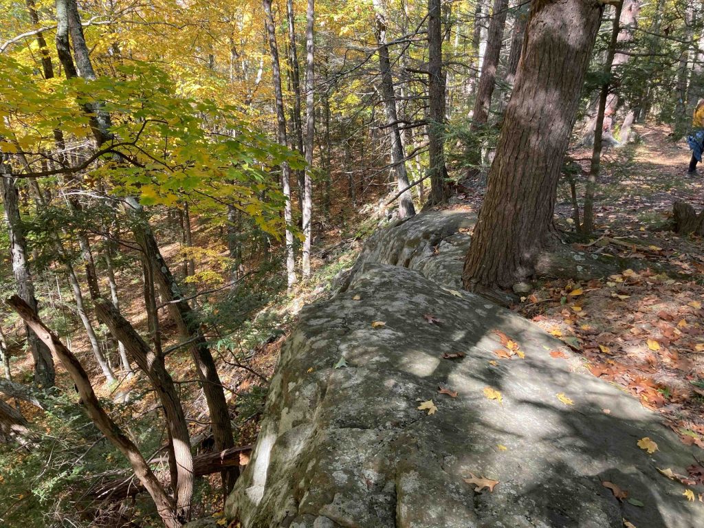
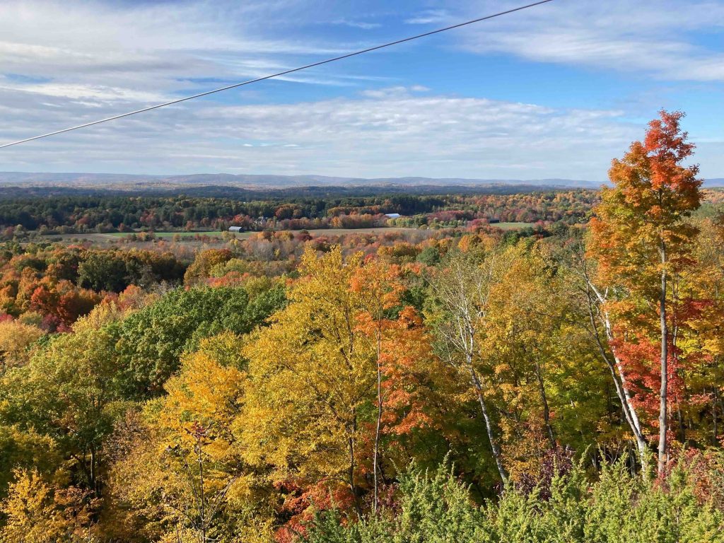
    This is the northernmost section of the Metacomet / New England Trail in Connecticut reaching the Mass border after 2.3 miles. The trail ascends old logging roads following the Metacomet Ridge north. There are some early views along the ridge that get better and better the farther you go.  You’ll soon reach a utility corridor which provides a great view west even though it is obstructed by the power lines.  Climb another hill and there are smaller rockier views in at least three spots.

    The trail then descends from the ridge to almost marsh conditions skirting the last edge of the ridge until reaching the Massachusetts border.  A classic CFPA signs greets you at the border and blazes switch from iconic blue to MA white.  If you’ve been hiking north, congratulations you’ve completed all 62 miles of the Connecticut portion and Mass has another 90 or so and can keep going all the way to Mt. Monadnock!

    History

    Preserved in 1985 and 1994 when the parcels were donated by Howard Alcorn and Bertha Pinney Alcorn respectively.  Previously this property had been owned Luther Spencer of Suffield and then Hugh M. Alcorn (Howard’s father) who was at one time States Attorney for Hartford County.

    Links

    CTMQ – SLC: Hugh M. and Howard W. Alcorn Wildlife Preserves (2017)

    Tags
    • ★★★☆☆
    • 2022
    • 2024
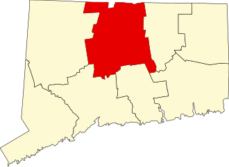
    • Hartford County
    • Metacomet Trail
    • New England Trail
    • Overlooks
    • Ruins
    • Suffield
    • Suffield Land Conservancy
    • Sunset Views
    Last Updated

    The information shown here is for general reference purposes only. exploreCT.org gives no warranty, expressed or implied, as to the accuracy or reliability of this data. Parking in all areas, whether designated here or not, is at your own risk. exploreCT.org is not responsible for any damage or loss to vehicles or contents. Last updated October 16th, 2022

    Trail Map
    Location
    • 2410 Mountain Rd, West Suffield, CT, USA

      Get Directions
    Gallery
    Video
    Categories
    • Hiking
    Gallery
  • No comments yet.
  • Add a review

    Leave a Reply · Cancel reply

    Your email address will not be published. Required fields are marked *

    Overall Rating

    You May Also Be Interested In

    Spruce Brook Falls

    • ★★★★★
    • 16 miles
    Featured
    FW6F+CW Beacon Falls
    • Quick view
    • Bookmark

    Bartholomew Open Space

    • Unexplored
    • 0.6 miles
    72 Buttonball Rd
    • Quick view
    • Bookmark

    Avery Nature Preserve

    • Unexplored
    • 2.6 miles
    60R Scotch Cap Rd
    • Quick view
    • Bookmark

    Hi, I’m Matt.

    I’m building ExploreCT to be the guide for all your outdoor adventures. All the trails, views, and waterways this great state has to offer.

    Now get out and explore!

    Monthly Newsletter

    Each month I share site updates or an interesting article in my newsletter. It’s short, sweet, and practical.

    600+ explorers read it, I’d love for you to join.

    Thank you!

    You have successfully joined our subscriber list.

    X-twitter Youtube Envelope Instagram

    Cart

      • Facebook
      • X
      • WhatsApp
      • Telegram
      • LinkedIn
      • Tumblr
      • Reddit
      • VKontakte
      • Mail
      • Copy link
      • Share via...
      • Threads
      • Bluesky