Site logo
    • Explore
      • Blue-Blaze Trails
      • Land Trusts
      • State Parks and Forests
      • By Town
    • exploreCT+
      • Membership
      • Shop
      • Events
    • Blog
    • Town Guides
    Sign in or Register
    Listing cover image

    Fisherman’s Walk Trail

    • Trails
      1 miles
    • Rating
      ★☆☆☆☆
    • Address
      535 Fabyan Rd, North Grosvenor Dale, CT 06255, USA
    • Explore
    • Trail Map
    • Reviews 0
    • New Page
    • prev
    • next
    • Bookmark
    • Share
    • Get directions
    • Report
    • prev
    • next
    At A Glance

    Fisherman’s Walk Trail / Fabyan Boat Launch

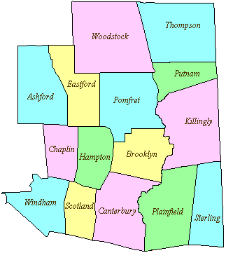
    Thompson Town Park

    8 acres in Thompson, CT

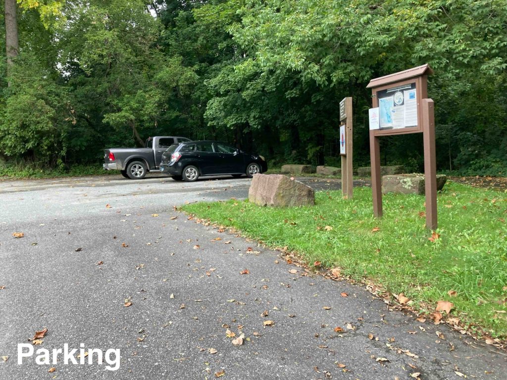
    Parking: Small lot near 622 Fabyan Rd, North Grosvenor Dale, CT

    Trail Map       Trails: 0.6 miles       Rating: ★☆☆☆☆

    The collapsed dam here was interesting to explore but the trails really are geared more towards fishing access than hiking enjoyment.  I have not yet paddled this section of the Quinebaug River.

    Hiking

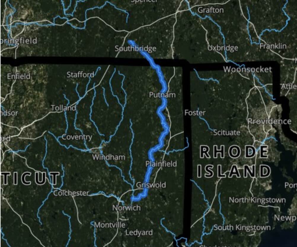
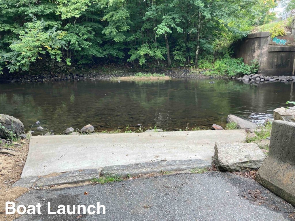
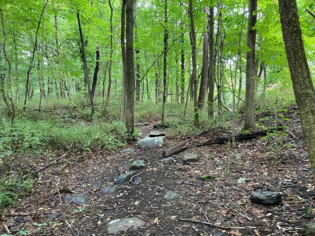
    There is certainly a 0.5 mile trail here along the river between the boat launch and Quinebaug Road. The trail offers some nice river views and in true fisherman path fashion provides many spots right along the water.  The trail follows the water for nearly the entire length before fading away at the back of private property.  The trail was unfortunately littered with trash (whether washed up by the river or left by fisherman) and lined with both poison ivy and barberry.  While unblazed it was easy to follow with only a few small downed trees to step over.

    At the portage area on the other side there are some rough fisherman’s paths as well.

    History

    The Fabyan Dam was built in 1804 to power a carding and felting machine at the mill on site. Between 1821 and 1870, steel axes, tools, and woolen goods were produced here. The Fabyan Mill was severely damaged by the 1938 hurricane and never recovered. In March 1939, a fire destroyed the mill completely.

    Links

    Quinebaug River Paddlers Guide

    Tags
    • ★☆☆☆☆
    • 2022
    • Explored
    • Hurricane of 1938
    • Quinebaug River
    • Thompson
    • Windham County
    Last Updated

    The information shown here is for general reference purposes only. exploreCT.org gives no warranty, expressed or implied, as to the accuracy or reliability of this data. Parking in all areas, whether designated here or not, is at your own risk. exploreCT.org is not responsible for any damage or loss to vehicles or contents. Last updated September 13th, 2022

    Trail Map
    Location
    • 535 Fabyan Rd, North Grosvenor Dale, CT 06255, USA

      Get Directions
    Gallery
    Categories
    • Hiking
    • Boating
    • Fishing
    Gallery
  • No comments yet.
  • Add a review

    Leave a Reply · Cancel reply

    Your email address will not be published. Required fields are marked *

    Overall Rating

    You May Also Be Interested In

    Spruce Brook Falls

    • ★★★★★
    • 16 miles
    Featured
    FW6F+CW Beacon Falls
    • Quick view
    • Bookmark

    Thach Preserve

    • ★★☆☆☆
    • 1 miles
    123 Brush Hill Rd
    • Quick view
    • Bookmark

    Mendell's Folly

    • ★★★★☆
    • 3.8 miles
    390 Beacon Rd
    • Quick view
    • Bookmark

    Hi, I’m Matt.

    I’m building ExploreCT to be the guide for all your outdoor adventures. All the trails, views, and waterways this great state has to offer.

    Now get out and explore!

    Monthly Newsletter

    Each month I share site updates or an interesting article in my newsletter. It’s short, sweet, and practical.

    600+ explorers read it, I’d love for you to join.

    Thank you!

    You have successfully joined our subscriber list.

    X-twitter Youtube Envelope Instagram

    Cart

      • Facebook
      • X
      • WhatsApp
      • Telegram
      • LinkedIn
      • Tumblr
      • Reddit
      • VKontakte
      • Mail
      • Copy link
      • Share via...
      • Threads
      • Bluesky