Site logo
    • Explore
      • Blue-Blaze Trails
      • Land Trusts
      • State Parks and Forests
      • By Town
    • exploreCT+
      • Membership
      • Shop
      • Events
    • Blog
    • Town Guides
    Sign in or Register
    Listing cover image

    Camp Aya-Po

    • Trails
      3 miles
    • Rating
      ★★★☆☆
    • Address
      42-, 70 Camp Rd, Somers, CT 06071, USA
    • Explore
    • Trail Map
    • Reviews 0
    • New Page
    • prev
    • next
    • Bookmark
    • Share
    • Get directions
    • Report
    • prev
    • next
    At A Glance

    Somers Town Park

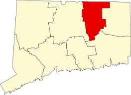
    178 acres in Somers, CT

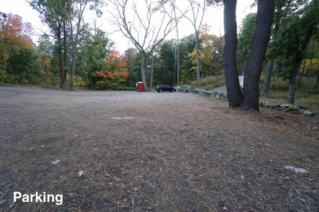
    Parking: Medium sized lot near 70 Camp Rd, Somers, CT

    Trail Map         Trails: 3.1 miles        Rating: ★★★☆☆

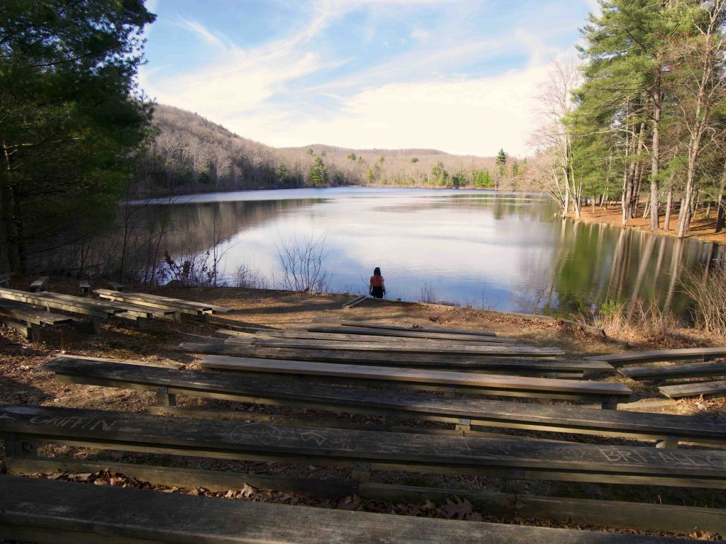
    Camp Aya-Po is a fantastic spot preserved by the Town of Somers for all to enjoy.  There are over 3 miles of trails that can be combined for longer hikes and are open to horses and mountain bikes. Hurds Lake has fishing, boating, and a small beach for swimming. There is a small pavilion, a large open field, and the remains of the old camp buildings.

    Hiking

    The two main hiking highlights here are the views around Hurds Lake and the climb up Perkins Mtn.

    • Lakeside Trail – Blue – 1 mile
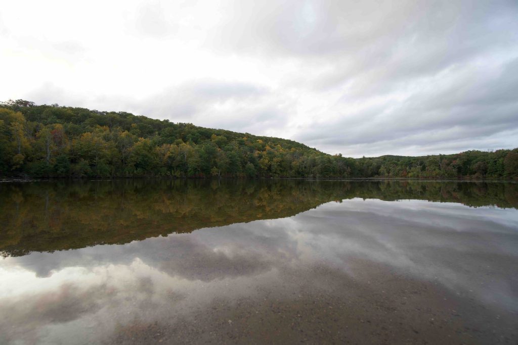
      • The lake views can be seen from the 1 mile blue trail which wraps around the edge of the pond and returns on the road to the parking area. This is a good strolling trail and was nice among the fall foliage.  There are benches and bridges with views of the pond throughout though sections of the northern stretch can be very wet, rocky, and rooty.
    • Lower Trail – Yellow – 0.6 miles
      • The first stretch combines with the blue trail along the water offering a view or two before peeling off at about 0.25 miles into the woods.  The trail is ever so slightly uphill until reaching a gate at Stafford Rd.  Turning left at the gate connects steeply up to the red trail.
    • Perkins Mtn. Trail – Red – 1 mile
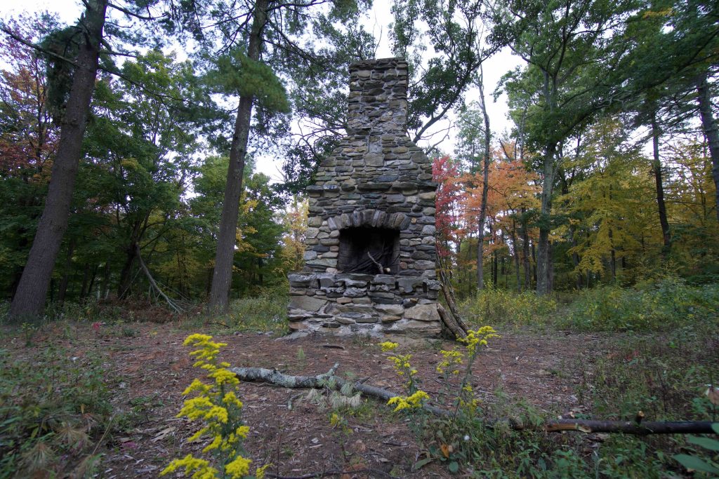
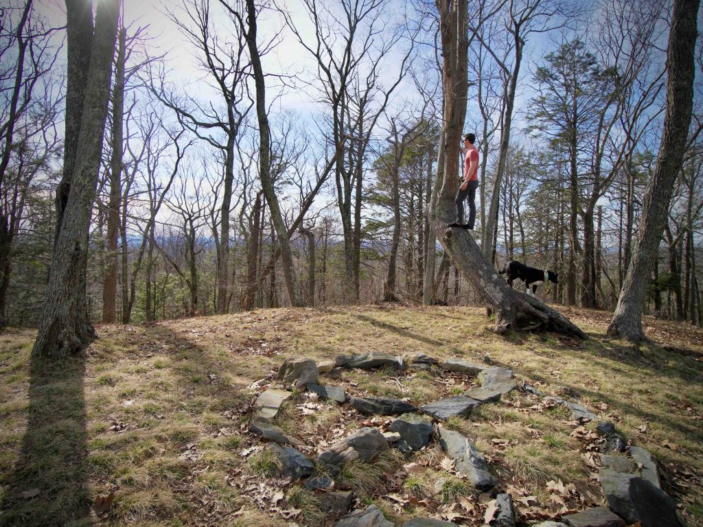
      • From the parking area the trail heads uphill into pines passing the chimney and foundations of the camp buildings.  Climbing the mountain is steady but not steep (unless coming from the yellow lower trail then its a fairly steep 0.25 mile climb).  The summit of the mountain is a small clearing with a large fire pit and an arrangement of stones in a peace sign.  There isn’t much for views, but you can get a sense of the views through the trees especially when the leaves are off the trees.  Accounts from the camp say that Sunday services were held here and the trees were cleared at one point for a proper overlook.
    • Old Shenipsit Trail – Green 0.8 miles
      • I didn’t explore this section of trail, but it is a discontinued section of the Shenipsit Trail.  The current terminus of the Shenipsit peters out about a mile south and I bet they hope to reconnect here one day.
    History

    The pond was likely created by Daniel Davis sometime around 1862 just northeast of his farm, he called the pond ‘Mountain Mirror’.

    The camp founded in 1922 and operated from 1927 to 2008 by the YWCA (Young Women’s Christian Association) with support from Samuel P. Avery Jr. The Town of Somers purchased it in 2014 for $825,000 and removed most of the buildings sometime around 2016.

    Links

    CTMQ – Camp Aya-Po (2023)

    Peter Marteka – Memories of Camp Aya Po In The Wilds Of Somers (2015)

    The Five Davis Brothers: Somers Mountain in its Heyday

    Tags
    • ★★★☆☆
    • 2020
    • 2022
    • 2023
    • Peter Marteka
    • Somers
    • Tolland County
    Last Updated

    The information shown here is for general reference purposes only. exploreCT.org gives no warranty, expressed or implied, as to the accuracy or reliability of this data. Parking in all areas, whether designated here or not, is at your own risk. exploreCT.org is not responsible for any damage or loss to vehicles or contents. Last updated May 21st, 2023

    Trail Map
    Location
    • 42-, 70 Camp Rd, Somers, CT 06071, USA

      Get Directions
    Gallery
    Categories
    • Hiking
    • Swimming
    • Boating
    • Fishing
    • Mountain Biking
    Gallery
  • No comments yet.
  • Add a review

    Leave a Reply · Cancel reply

    Your email address will not be published. Required fields are marked *

    Overall Rating

    You May Also Be Interested In

    Spruce Brook Falls

    • ★★★★★
    • 16 miles
    Featured
    FW6F+CW Beacon Falls
    • Quick view
    • Bookmark

    Thach Preserve

    • ★★☆☆☆
    • 1 miles
    123 Brush Hill Rd
    • Quick view
    • Bookmark

    Mendell's Folly

    • ★★★★☆
    • 3.8 miles
    390 Beacon Rd
    • Quick view
    • Bookmark

    Hi, I’m Matt.

    I’m building ExploreCT to be the guide for all your outdoor adventures. All the trails, views, and waterways this great state has to offer.

    Now get out and explore!

    Monthly Newsletter

    Each month I share site updates or an interesting article in my newsletter. It’s short, sweet, and practical.

    600+ explorers read it, I’d love for you to join.

    Thank you!

    You have successfully joined our subscriber list.

    X-twitter Youtube Envelope Instagram

    Cart

      • Facebook
      • X
      • WhatsApp
      • Telegram
      • LinkedIn
      • Tumblr
      • Reddit
      • VKontakte
      • Mail
      • Copy link
      • Share via...
      • Threads
      • Bluesky