Site logo
    • Explore
      • Blue-Blaze Trails
      • Land Trusts
      • State Parks and Forests
      • By Town
    • exploreCT+
      • Membership
      • Shop
      • Events
    • Blog
    • Town Guides
    Sign in or Register
    Listing cover image

    Blackwell Brook

    • Trails
      2 miles
    • Rating
      ★☆☆☆☆
    • Address
      Q332+P6 Brooklyn, CT, USA
    • Explore
    • Trail Map
    • Reviews 0
    • New Page
    • prev
    • next
    • Bookmark
    • Share
    • Get directions
    • Report
    • prev
    • next
    At A Glance

    Brooklyn Town Park

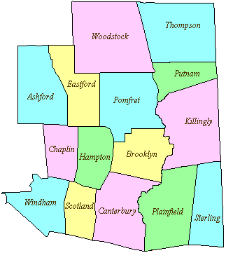
    86 acres in Brooklyn, CT

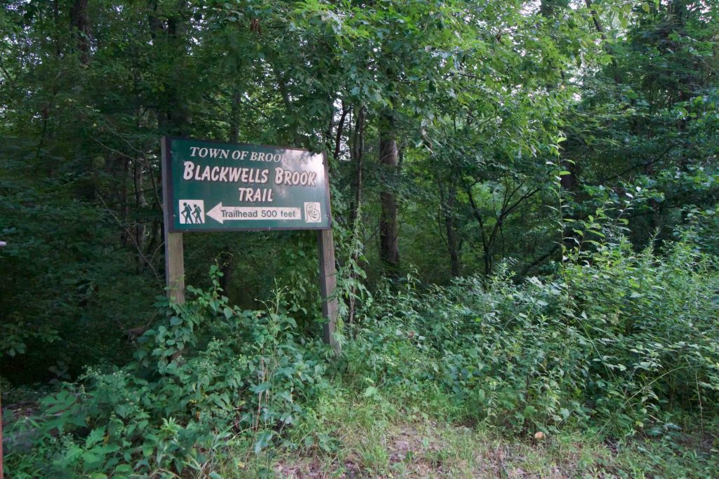
    Parking: Pull off for two cars 500 ft from 78 Beecher Rd Brooklyn, CT

    Trail Map          Trails: 1.6 miles         Rating: ★☆☆☆☆

    Hiking

    Blackwell Brook is the worst hike I have ever been on.

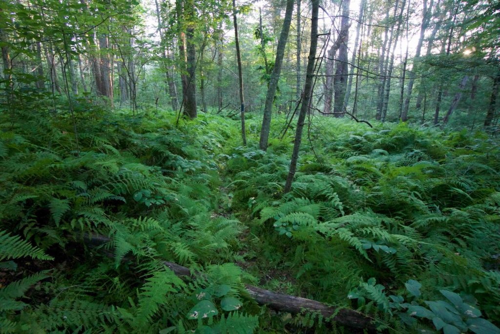
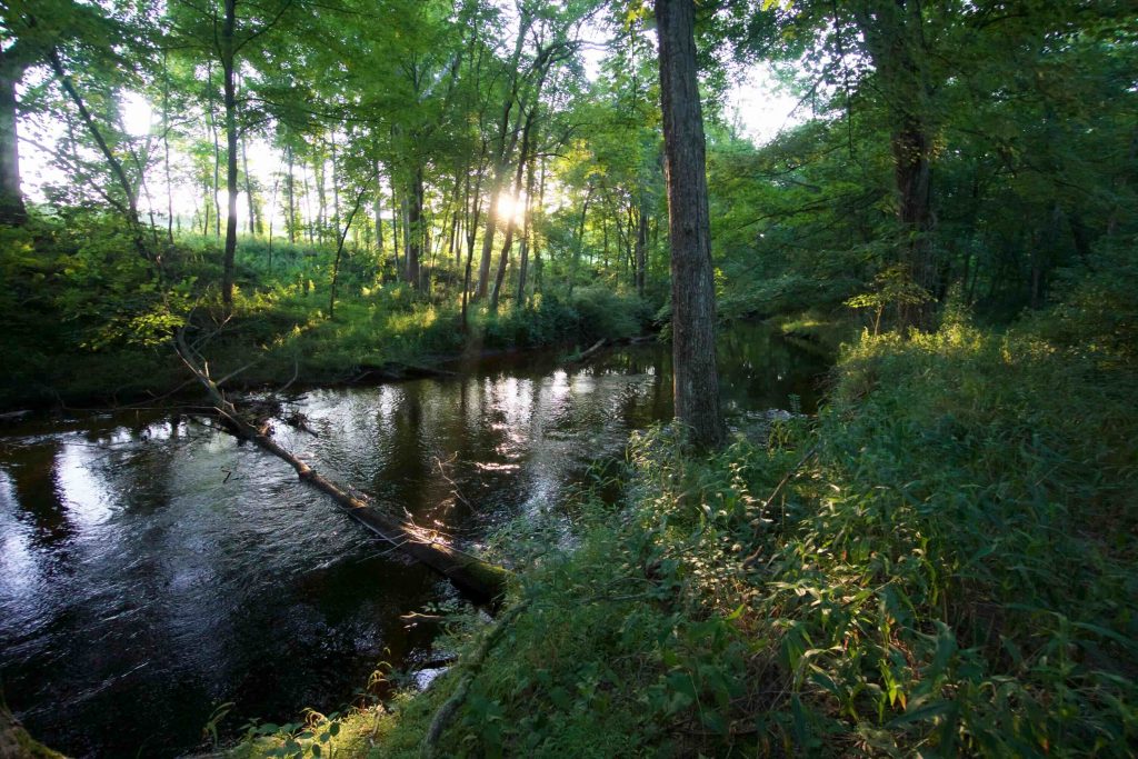
    At this point, I’m very familiar with overgrown forgotten town trails, but so far this one has been the worst.  What started as a crushed fern path through wetlands turned into a 1.6 mile slog through waist-high growth filled with poison ivy and nettles.

    The trail became unblazed and difficult to follow. There were several dips along the banks of the brook that were just slick mud too wide to jump.  Beyond that were perilous sections along the steep river bank where foot placement couldn’t be seen through the knee-high plant growth which meant slow foot placement to make sure I didn’t tumble 8 feet down to the river.  I’ll add in mentions of nettles, mosquitos, and ticks to really pile on!

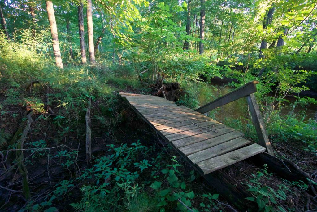
    The funny thing is that the reason I got far enough in to not want to turn around is that someone recently/regularly went through the start to crush an obvious path through the ferns.  The trail should be beautiful since it hugs the banks of Blackwell Brook and the same with Cold Spring Brook at the backside.  Someone even built several nice wooden bridges that are now slowly decaying (they were mainly how I knew I must be heading in the right direction once the blazes stopped).

    Avoid this hike unless it’s winter or until it is returned to hikeable status.  I have never been so happy to be done with a hike.

    Tags
    • ★☆☆☆☆
    • 2018
    • Brooklyn
    • Explored
    • Windham County
    Last Updated

    The information shown here is for general reference purposes only. exploreCT.org gives no warranty, expressed or implied, as to the accuracy or reliability of this data. Parking in all areas, whether designated here or not, is at your own risk. exploreCT.org is not responsible for any damage or loss to vehicles or contents. Last updated Aug. 6, 2018

    Trail Map
    Location
    • Q332+P6 Brooklyn, CT, USA

      Get Directions
    Gallery
    Categories
    • Hiking
    Gallery
  • No comments yet.
  • Add a review

    Leave a Reply · Cancel reply

    Your email address will not be published. Required fields are marked *

    Overall Rating

    You May Also Be Interested In

    Spruce Brook Falls

    • ★★★★★
    • 16 miles
    Featured
    FW6F+CW Beacon Falls
    • Quick view
    • Bookmark

    Thach Preserve

    • ★★☆☆☆
    • 1 miles
    123 Brush Hill Rd
    • Quick view
    • Bookmark

    Mendell's Folly

    • ★★★★☆
    • 3.8 miles
    390 Beacon Rd
    • Quick view
    • Bookmark

    Hi, I’m Matt.

    I’m building ExploreCT to be the guide for all your outdoor adventures. All the trails, views, and waterways this great state has to offer.

    Now get out and explore!

    Monthly Newsletter

    Each month I share site updates or an interesting article in my newsletter. It’s short, sweet, and practical.

    600+ explorers read it, I’d love for you to join.

    Thank you!

    You have successfully joined our subscriber list.

    X-twitter Youtube Envelope Instagram

    Cart

      • Facebook
      • X
      • WhatsApp
      • Telegram
      • LinkedIn
      • Tumblr
      • Reddit
      • VKontakte
      • Mail
      • Copy link
      • Share via...
      • Threads
      • Bluesky