Zemko Pond Wildlife Management Area

Connecticut WMA

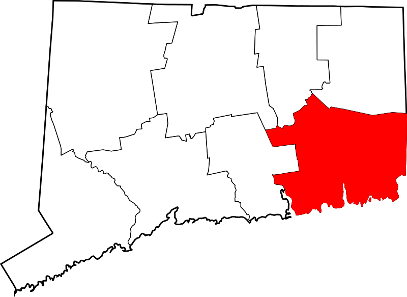
464 acres in Salem, CT

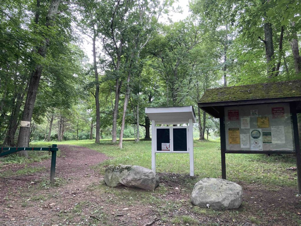
Parking: Small lot near 220 Round Hill Road, Salem, CT

Trail Map      Trails: 1 mile        Rating:☆☆☆☆


Note: As a wildlife management area this area is open to hunting so it is recommended to wear orange especially September – December.

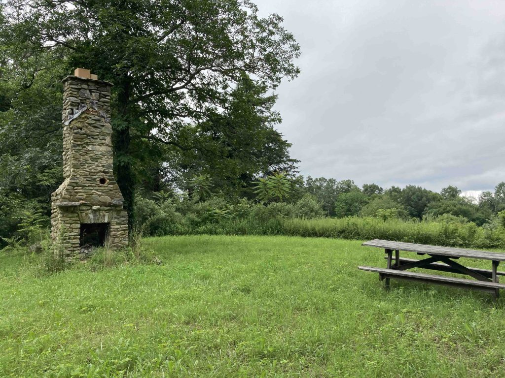
There is a small picnic area just up the hill from the parking area with an old chimney.

Hiking

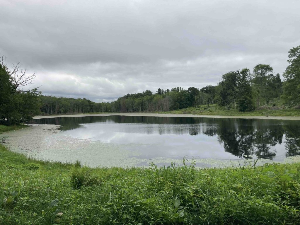
From the parking area there is a well cleared path heads gradually downhill towards the pond and out over its dam.  Beyond the dam the forest was actively managed in Fall 2020 to create young forest habitat for eastern cottontail.  I poked around among the downed trees and there are paths that loop around the area, but I didn’t see any reason to explore further.

Before reaching the pond there is a small side trail down towards the pond likely serving as a fisherman’s path.  However, before reaching the water’s edge it heads northwest around the pond.  The highlight of following this trail is a car graveyard with the remains of three very old cars (much like the Pierce Arrow car at Salem’s nearby Walden Preserve) and a bus, perhaps left by the Zemko family ages ago.  Following this trail I had a hunch it would lead to private property and sure enough the property line near the north end of the pond and headed into someone’s backyard.

Fishing

It’s only about a third of a mile down to the pond with great water access.  I can’t find many reports for fishing here though I know people do.

History:

Zemko Pond is named for the 3 generations of the Zemko family that lived in Salem and operated the Zemko Sawmill northwest of the Pond.  I don’t yet have a date for when the state acquired the property (likely pre-1983).


Links:

The Day – Zemko Pond Wildlife Management Area (2010)

The information shown here is for general reference purposes only. exploreCT.org gives no warranty, expressed or implied, as to the accuracy or reliability of this data. Parking in all areas, whether designated here or not, is at your own risk. exploreCT.org is not responsible for any damage or loss to vehicles or contents.
Last updated July 19th, 2021

Visited 3107 times, 4 Visits today

Related Listings

Pharisee Rock

★★☆☆☆

41.6504230, -71.8321760

Pharisee Rock Trail CFPA Blue Blaze Trail acres in Sterling, CT Parking: Shoulder parking on Cedar Swamp Rd, Moosup, CT Trail Map    Trails: 0.7 miles   …

Kongscut Mountain

★★★☆☆

887 Goodale Hill Rd, Glastonbury, CT

Kongscut Mountain / Phillips Cave Loop Connecticut State Forest 1,100 acres in Glastonbury, CT Parking: Small pull of near 887 Goodale Hill Rd, Glastonbury, CT Trail Map …

River Highlands State Park

★★★☆☆

41.619244, -72.630702

River Highlands State Park Connecticut State Park 177 acres in Cromwell, CT Parking: Medium sized lot near 115 Field Rd Cromwell, CT Trail Map      Trails: 8…