Woodtick Recreation Area / Scovill Recreation Area / Mill Pond Way / Wolf Hill Trails

Wolcott Town Park

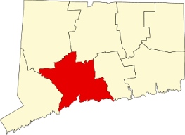
475.63 acres in Wolcott, CT

Parking:

Trail Map        Trails: 3.7 miles         Rating: ★★☆☆☆


This area goes by many names so it’s difficult to pick the most widely known – Woodtick Recreation Area and Scovill Recreation Area both apply to the whole property while Mill Pond Way is the name of the 3.5 mile loop around the reservoir and Wolf Hill is the western section with a fitness trail loop.  I’ve included all these and should probably add the Scovill Reservoir to try and provide as much information as I can to queries from across any of them.

The park features hiking, boating, fishing, and swimming as well as courts, fields, and a pavilion.

Hiking

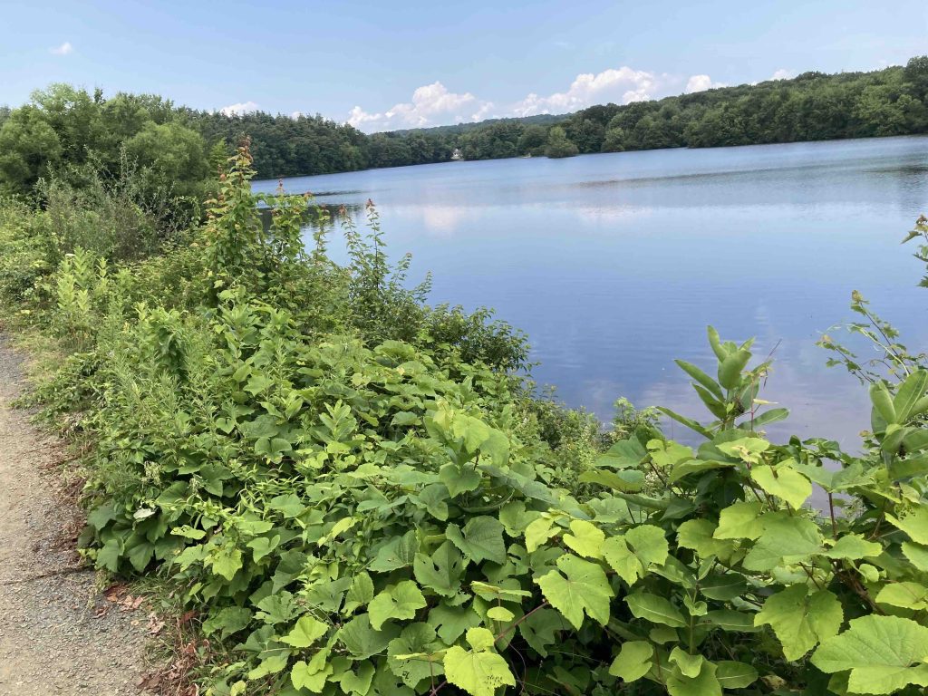
The trail here is called the Mill Pond Way an ADA compliant mostly crushed stone path that travels 3.5 miles around the Scovill Reservoir.  It can be accessed from any of the parking areas listed above and is very popular for easy strolls, runs, or just interacting with nature.

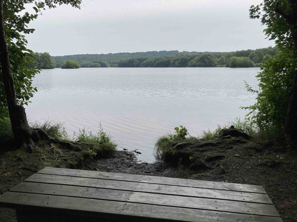
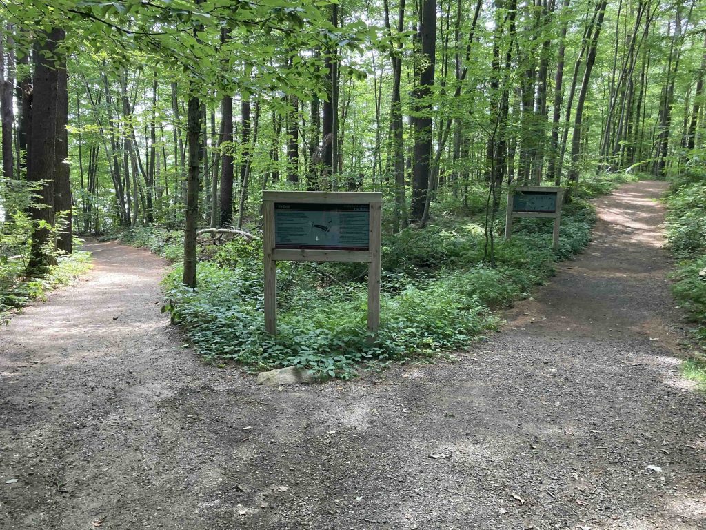
I started from the Wolf Hill area on the western side of the reservoir among deep pines, traveling downhill to the water’s edge and participating in a few of the standard fitness trail items, pull ups, pushups, and a balance beam among others.  I took the loop clockwise following the gently rolling hills of the trail towards Munson Road.  There are plenty of views along the water though I did notice that much of the entire loop was edged with plenty of poison ivy.

Off Munson Road the trip dips off the road to a small peninsula that I assume once had a bridge but perhaps just high water levels have blocked this section of the loop.  Thankfully there is a clear path alongside the road that appears to be a common and long standing workaround.  Past the Munson Road parking area the trail turns south to follow a paved driveway to a police training area and group boat storage.  The trail curves around the fence and through a long wooded stretch around the entire eastern side of the reservoir.  There are tons of interesting stone features along the trail and thanks to a rainy summer lots of interesting fungi.

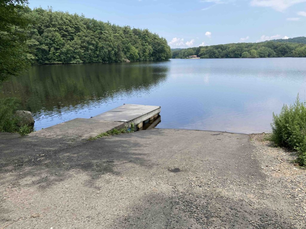
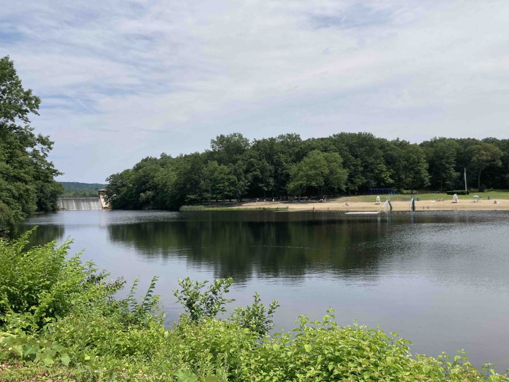
There is a brief stretch along a dam where I saw nearly a dozen gold finches flitting among the tall grass and trees as well as a cormorant out on the water.  The trail passes the boat launch, a small picnic area, and another wooded section before reaching the main swimming area.  The trail then briefly crosses Nichols Road and recrosses for beautiful view of the beach and dam waterfall across the water.

The hike was easy enough with easy footing and largely flat with only a few gentle hills.  It was popular even on a Monday morning with lots of people out walking dogs, with their family, or on a run.  While the views of the water was great and there were plenty of sights along the way the trail felt less of a hike and more of a stroll.

Swimming

There is a beach along the eastern edge of Cornelis Pond, the body of water just below the dam overflow waterfall of Scovill Reservoir.  The beach is over 400′ long with a good sized area for swimming.  The beach is typically open from Memorial Day weekend to the end of Labor Day weekend M-F 10-6pm and Sat/Sun 9-7pm.  Parking is free though there may be a small fee for beach admission ranging from $3-8 depending on day of the week and whether you are a Wolcott resident.

More information here: https://wolcottct.org/recreation-leisure/woodtick-recreation-center/

Boating

The boat launch is at the end of Scovill Road with a small turn around and another small parking area.  There were several kayaks out on the water during my visit and there is an electric-motor only restriction on Reservoir.

The Scovill Reservoir is also known as the Woodtick Reservoir and is about 121 acres.

Fishing

The reservoir is stocked twice a year by the DEEP and has a variety of fish.  I also saw kids fishing on the lower Cornelis Pond.

History:

It was constructed in 1917 and was originally associated with the prominent Scovill Manufacturing Company, which needed large amounts of water to produce brass.

The property was purchased by the town in July of 1986.


Links:

The information shown here is for general reference purposes only. exploreCT.org gives no warranty, expressed or implied, as to the accuracy or reliability of this data. Parking in all areas, whether designated here or not, is at your own risk. exploreCT.org is not responsible for any damage or loss to vehicles or contents.
Last updated July 24, 2023

Visited 2312 times, 3 Visits today

Related Listings

Thornton Brook Preserve

★☆☆☆☆

41.738945, -72.293552

Thornton Brook Preserve Coventry Town Park 63 acres in Coventry, CT Parking: Space for 2-3 cars near 475 Pucker St Coventry, CT Trail Map       …

Campbell’s Peaceful Valley

★★★☆☆

41.90791,-72.38540

Campbell’s Peaceful Valley Conservation Area Tolland Town Park 70 acres in Tolland, CT Parking: Small dirt lot near 300 Hunter Road Tolland, CT Trail Map     …

Stoppleworth Conservation Area

★★☆☆☆

41.91097,-72.38338

Stoppleworth Conservation Area Tolland Town Park 55 acres in Tolland, CT Parking: Small pull off at 359 Hunter Road Tolland, CT Trail Map       Trails: Less than…