West Mountain / Cathles Falls

Simsbury Land Trust

70 acres in Simsbury, CT

Parking:

Trail Map         Trails: 5 miles      Rating: ★★★★☆

Screenshot


This is an incomplete listing as I’ve just hiked from North Saddle Ridge Drive up to the falls and overlook but the whole loop here is easily one of the gems of the area.

Hiking

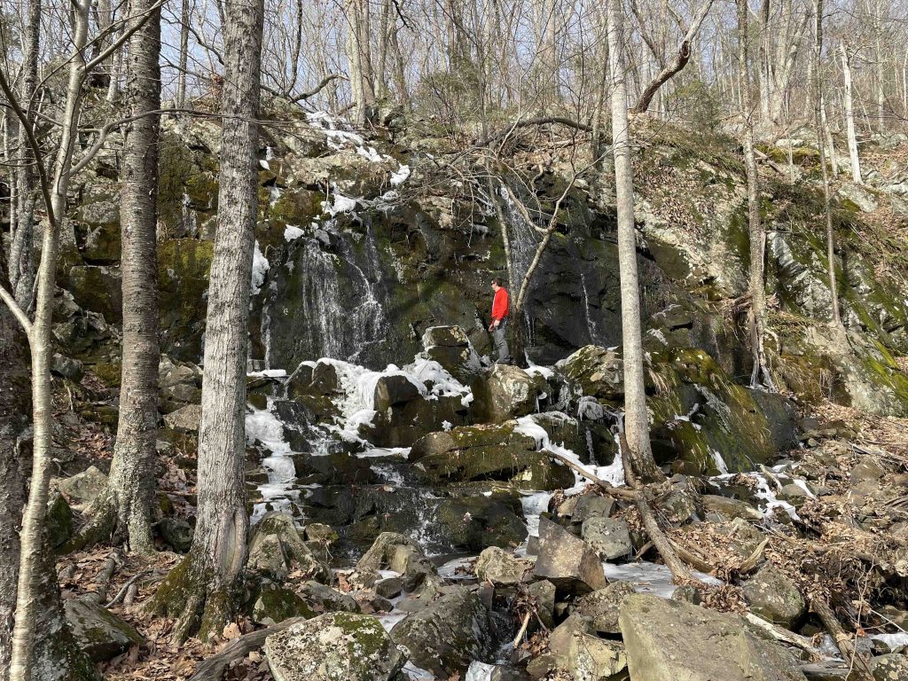
I started from the shoulder parking heading up the white blazed trail briefly skirting private property until meeting an unnamed seasonal stream.  The stream bounces over rocks here as you begin to climb the steep ledge. Thanks to warm winter rains the falls were couple decent horsetail cascades.  The main drop is probably only 10-15 feet but I’d love to see it after a strong rain.  If you visit during a dry summer I’m sure there isn’t much to see.

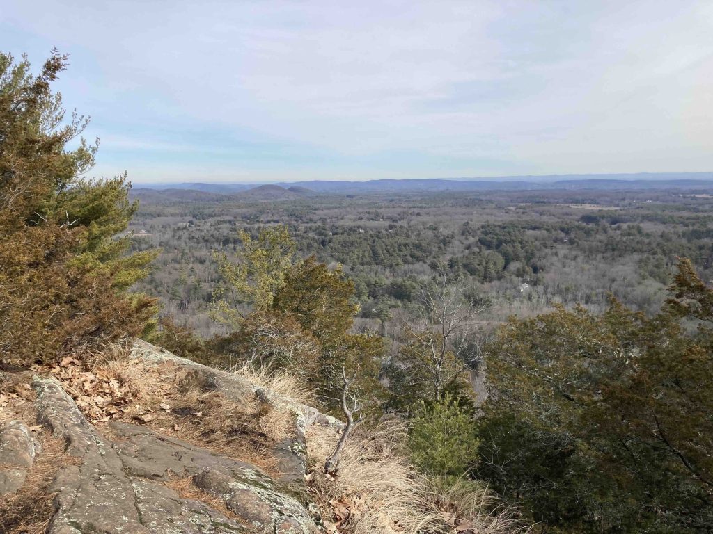
The trail continues the climb to the top of the falls and up again among the rocky bank to meet the red trail.  Turning right eventually connects you (unofficially) to the Mclean Game Refuge.  Turning left is a fairly short but very steep hike up to a wide overlook with views east over a good portion of northern Simsbury.  The gnarled pines near the summit can be especially captivating.

From here you can continue hiking along the ridge and eventually loop for a hike of at least 5 miles, but I saved that for another day.

Geology

From the Simsbury Land Trust website,

The blue trail follows a fault-line where the rock you see to the west is 500 million-year-old metamorphic schist and to the east 200 million-year-old igneous basalt. The sharp fracturing of this basalt produces the talus along the base of the slope.

History:


Links:

The information shown here is for general reference purposes only. exploreCT.org gives no warranty, expressed or implied, as to the accuracy or reliability of this data. Parking in all areas, whether designated here or not, is at your own risk. exploreCT.org is not responsible for any damage or loss to vehicles or contents.
Last updated February 12th, 2023

Visited 1280 times, 1 Visits today

Related Listings

Church Farm

★★☆☆☆

41.838798, -72.171105

Church Farm Joshua’s Trust Property 79 acres in Ashford, CT Parking: Main Parking: Small pull off near 29 Varga Rd, Ashford, CT for blue access trail Shoulder… Read more…

Castlerock Lane

★☆☆☆☆

41.736894, -72.423560

Castlerock Lane Bolton Land Trust 32 acres in Bolton, CT Parking: At the cul-de-sac at the ned of Castlerock Lane Bolton, CT Trail Map       …

Wright Preserve

★☆☆☆☆

41.862626, -71.960772

Wright Preserve Wyndham Land Trust 42.7 acres in Pomfret, CT Parking: Across the road at the Bafflin Sanctuary parking at 85 Pomfret St, Pomfret Center, CT Aerial Map … Read more…