West Hartford Reservoir #6
Metropolitan District Water Supply Watershed
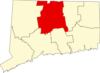
in West Hartford and Bloomfied, CT
Parking: Medium sized lots near 3070 Albany Ave, West Hartford, CT
Trail Map    Trails: 3.6 miles   Rating: Unexplored
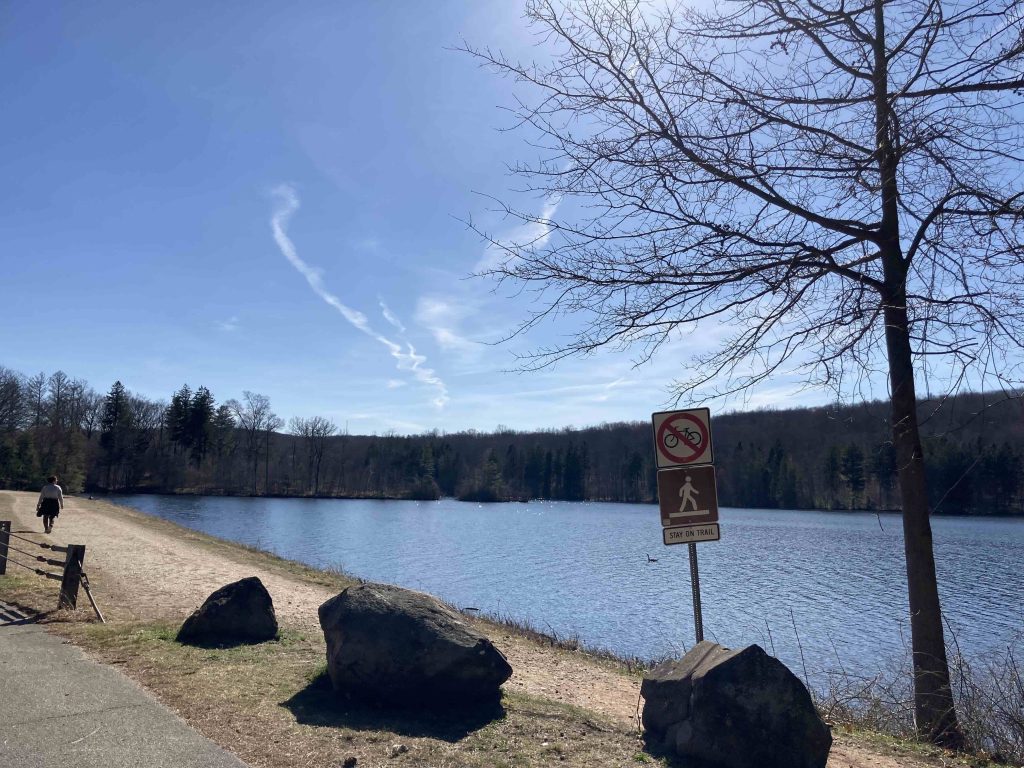
West Hartford’s Reservoir #6 is one of those uber popular spots for ease of convenience and pleasant atmosphere. There is a medium parking lot right at the entrance often patrolled by local officers and a second down the long paved section along the east side of the reservoir. Leashed dogs are allowed.
Hiking
Red Loop
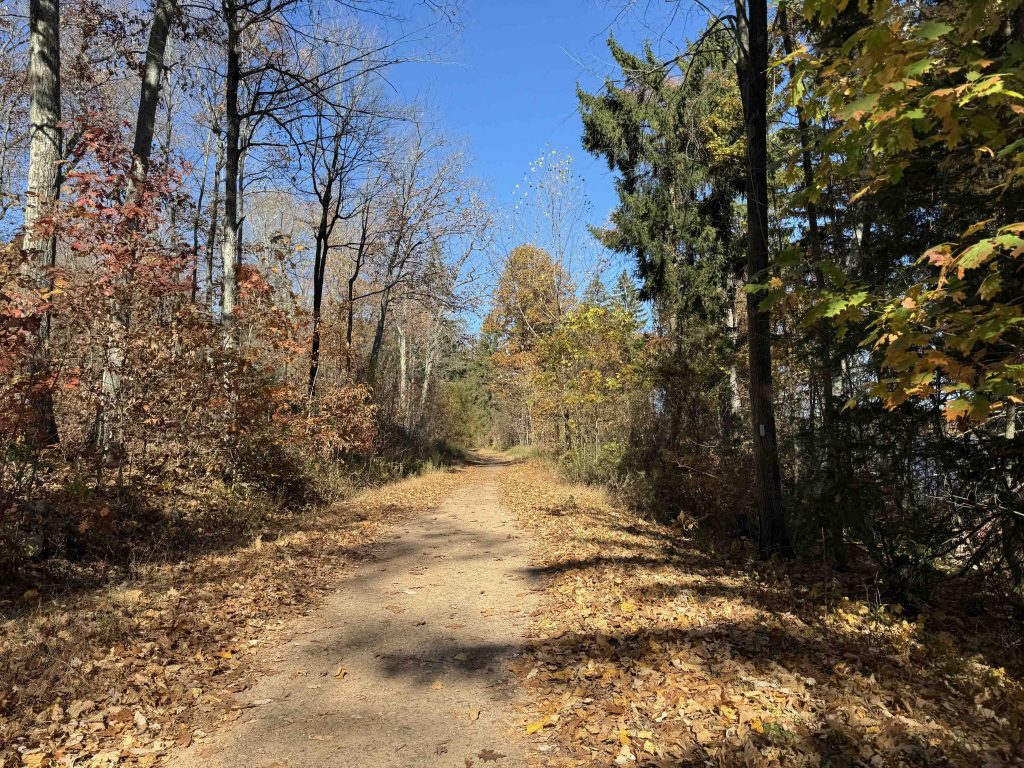
- A mostly open mostly dirt path is sandwiched between this paved road and the water for easy almost entirely flat walking. It is popular with dog walkers, couples, and parents with strollers. Completing the full loop is substantial for most casual visitors at 3.6 miles taking the western section back with a bit more woods.
Metacomet
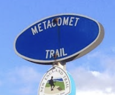
- This western side is also a section of the blue blaze Metacomet/New England Trail running from Long Island Sound up into Massachusetts. This is one of the few flat sections of the entire trail leaving the Metacomet Ridge for this brief interlude before climbing back up toward Heublein Tower.
Previous Section: Kilkenny Rock
Next Section: Talcott Mountain State Park
History:
Links:
- CTMQ – MDC Reservoir 6 (2020)
- Marlene Clark – Campsite Not Related to Rochambeau’s Trek Through State (2007)
The information shown here is for general reference purposes only. exploreCT.org gives no warranty, expressed or implied, as to the accuracy or reliability of this data. Parking in all areas, whether designated here or not, is at your own risk. exploreCT.org is not responsible for any damage or loss to vehicles or contents.
Last updated April 10th, 2023
Visited 4013 times, 4 Visits today