TriTown Forest Preserve

Avalonia Land Conservancy

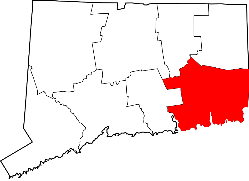
527.23 acres in North StoningtonPreston, and Griswold, CT

Parking: Small lot near 87 Miller Rd, North Stonington, CT

Trail Map          Trails: 9 miles        Rating: ★★★☆☆

Screenshot


Tritown Forest has about 9 miles of trails ranging from the rugged blue to the flat red.  From impressive stone walls, farm foundations, and landscape modified from farming this property has great terrain to explore.

Hiking

Blue Loop – 5 miles

Yellow Loop – 2.5 miles

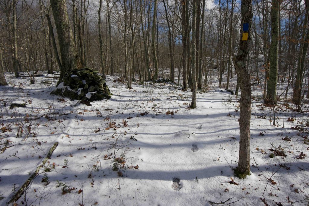
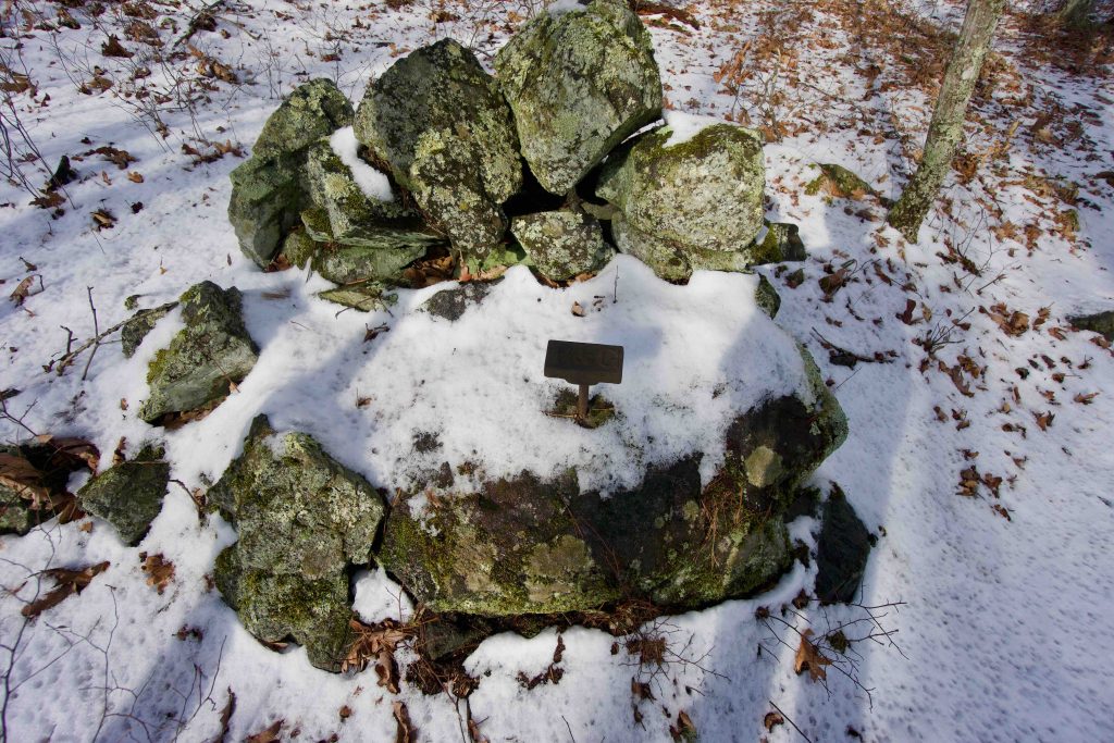
From the main trailhead off Miller Rd the trail starts off wide and flat on old Axis Road.  The blue trail soon splits off to the left with a sign noting it as “more difficult”.  A bit past that is the yellow trail also off to the left that calls itself easier.  I took the yellow trail and soon started ascending.  The trail climbs to a hilly ridge filled with rock outcrops and views down into the forest and the hills beyond.  The most interesting part was a mysterious iron marker driven into the rock with the letters P & G.  I later learned that was the border marker for the towns of Preston and Griswold.

Descending off the ridge crosses the red trail and I stayed on the yellow to reach Fen Overlook.  Fen is a low marsh or wetland and is a much more poetic term than swamp. The trail turns north again and interlinks with the blue to make its way around Lost Pond.  The pond is a visual oddity amongst the rocky forest and the trail passes an old broken dam that once held it.

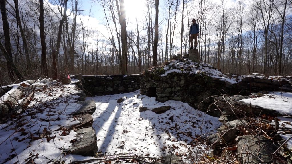
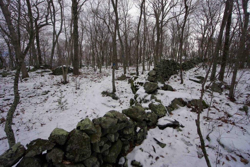
The next section meets impressive stone walls and passes through Oak Alley with its old oaks and… two stone walls until winding to an abandoned quarry.  A steep climb ascends Rixtown Mt. with more stonewalls over the summit.  I’m not usually a sucker for stone walls but these were tenacious criss crossing the most difficult terrain.  While some harken back the areas farming, Peter Marteka notes in his article (linked below) that some are even older serpentine walls made by Native Americans.

Coming off Rixtown Mt. the trail makes its way to the cellar hole of the Charles H Main Sr. farm.  It is an interesting spot to explore with informational signs, an old well, and the foundation itself.

The whole area gave me the feeling of Miles of Ledges near Berlin and I look forward to a second visit to further explore the Blue and Yellow loops.

History:

Preserved in 2016 for $925,000 with the help of a $555,000 grant from the DEEP and bridge loan from the Conservation Fund.


Links:

Peter Marteka – A forest filled with ridges, ribbons of stone walls and an abandoned quarry (2019)

Peter Marteka – A Swath Of Land Helping To Preserve 1,000 Acres In Southeastern Connecticut (2018)

The information shown here is for general reference purposes only. exploreCT.org gives no warranty, expressed or implied, as to the accuracy or reliability of this data. Parking in all areas, whether designated here or not, is at your own risk. exploreCT.org is not responsible for any damage or loss to vehicles or contents.
Last updated January 19, 2020

Video

Visited 2226 times, 1 Visits today

Related Listings

Perry Natural Area

Unexplored

476 North Anguilla Road, North Stonington, CT, USA

Perry Natural Area Avalonia Land Conservancy 68.2 acres in Stonington, CT Parking: Shoulder parking near 472 N Anguilla Rd, Pawcatuck, CT Trail Map         Trails:…

Ayers Preserve​

Unexplored

76 State Hwy 434, East Haddam, CT 06423, USA

Ayers Preserve​ East Haddam Land Trust 6 acres in East Haddam, CT Parking: Shoulder parking near 76 State Hwy 434, East Haddam, CT Trail Map     …

Smuggler’s Rock Preserve

★★☆☆☆

41.499400, -72.270975

Smuggler’s Rock Preserve Salem Land Trust 113 acres in Salem, CT Parking: Small lot at end of Salem Ridge Drive cul-de-sac Trail Map       Trails: 1.8 miles …