Talcott Ravine
Northern Connecticut Land Trust Property
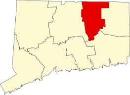
26 acres in Vernon, CT
Parking: Medium sized lot near 9 Main St Vernon, CT
Map Trails: 1.2 miles Rating: ★★★☆☆
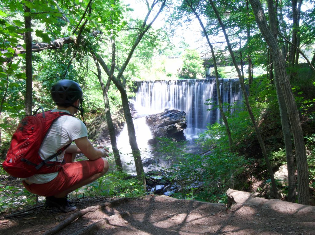
The Talcott Ravine trail can be accessed from either side. The best access is from the cul-de-sac at the end of Main Street where there’s parking. You can however access the eastern side from Dobson Rd or from the Hop River Trail. Highlights include a ravine through which the Tankerhoosen River passes, a tiny false cave on a hillside, the waterfall next to Dobson Road, and the ruins of old mills.
Hiking
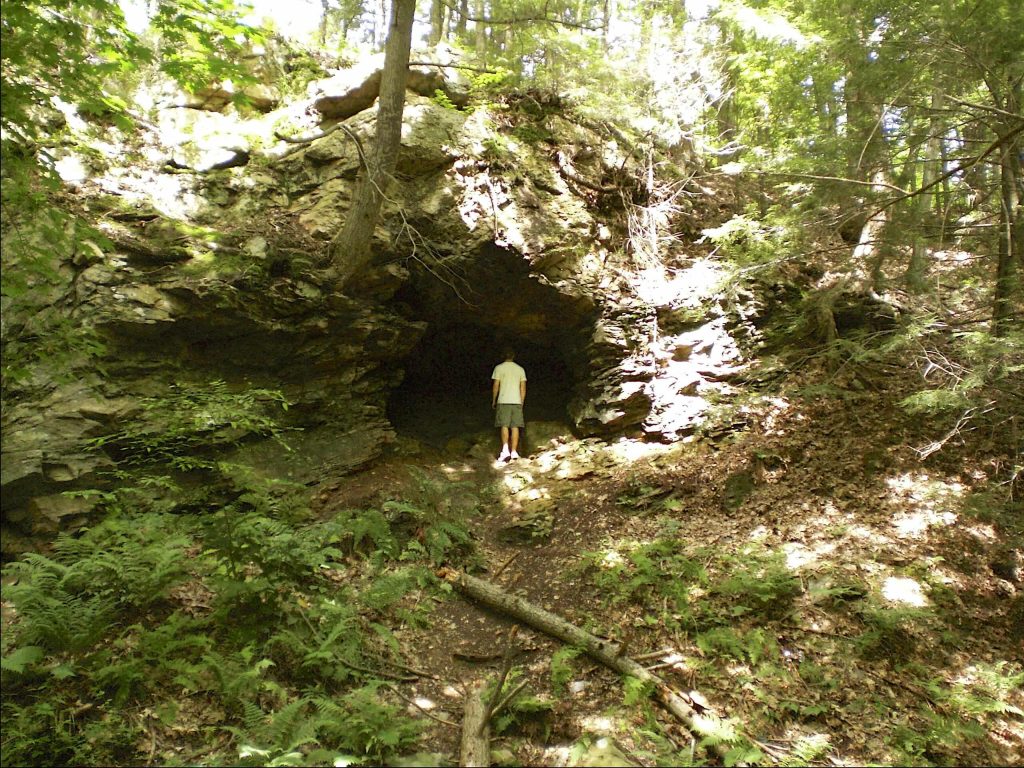
From the parking area at the end of Main Street the trail heads down an old road until it reaches the Tankerhoosen River. It passes an old foundation of unknown origin and forks heading uphill or low nearer the water. Staying low travels along a hillside with what appears to be a cave. On closer inspection however it is just a shallow rocky overhang.
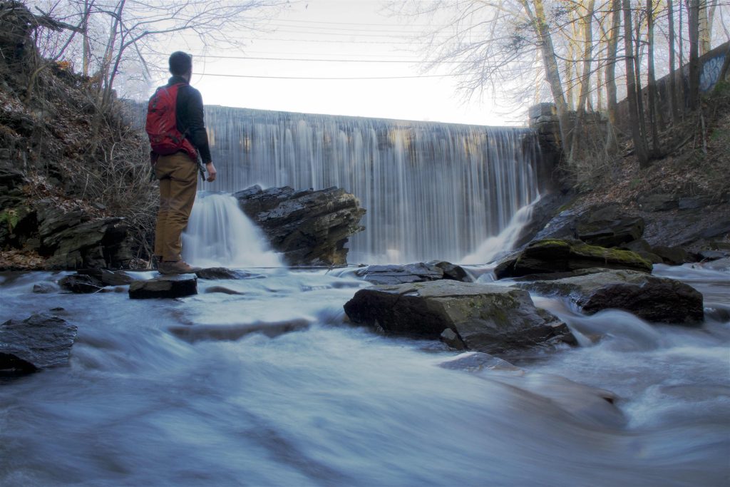
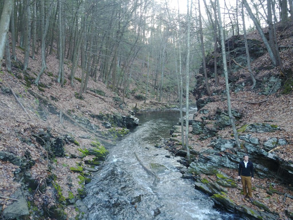
It soon reaches the actual ravine with high rocky walls and the trail narrows to a tiny rocky ledge right next to the water. Just after the ledge the waterfall comes into view. The waterfall is largely man made though large boulders add dynamic to the falls. The trail heads steeply uphill and passes through a fence to reach Dobson Road. You could turn around and hike the higher route back along the hillside to meet the trail you came in on.
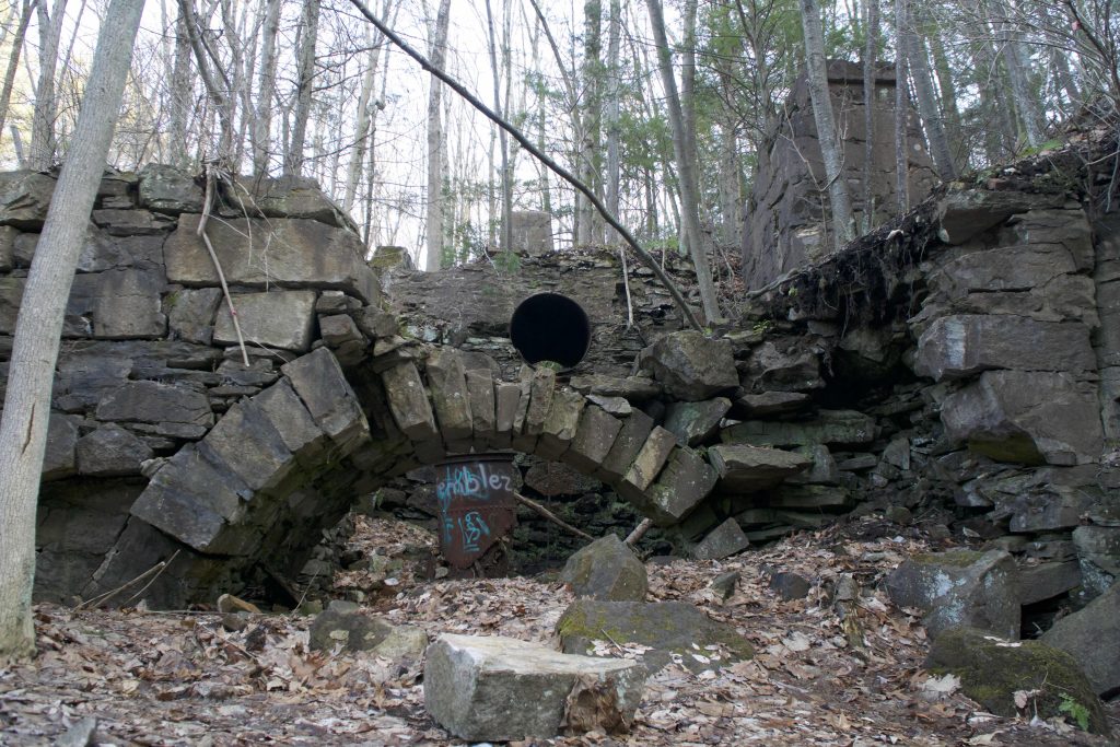
Or, you could use Dobson Road to cross over the Tankerhoosen until you reach the Hop River Trail. This allows you to explore the old mill ruins on the other side or to do a much longer loop taking the Hop River Trail to Elm Hill Rd and back to the parking area.
History:
Established as a park in 2010 when it was donated by the Talcott family. The family had allowed the public to enjoy the property prior to 2010, but made it official with their gift in that year. From the NCTLT site,
The Ravine is a gem with natural, geographic, historic and archaelogical significance. A site of a cotton mill built in 1811 by Peter Dobson, the Ravine has a long mill history ending with the demise of the Ackersly Mill in 1939.
A beautiful trail running alongside the Tankerhoosen River follows in part, the old road into the mill areas. Dobson espoused a glacial theory right here in the Ravine when he observed boulders and rocks that appeared to have been abraded by a massive force, suggesting that it was the work of glaciers.
Links:
Joseph A. O’Brien Jr. – Town To Help Trust With Talcotville Gorge Purchase (2010)
Peter Marteka – A Wild Trip To A Pocket Gorge (2011)
Peter Marteka – Historic Gorge: Pocket Of Wilderness Preserved In Talcottville (2011)
CTMQ – NCLT: Talcott Ravine (2017)
The information shown here is for general reference purposes only. exploreCT.org gives no warranty, expressed or implied, as to the accuracy or reliability of this data. Parking in all areas, whether designated here or not, is at your own risk. exploreCT.org is not responsible for any damage or loss to vehicles or contents.
Last updated February 27th, 2017
Visited 3718 times, 1 Visits today