Site logo
    • Explore
      • Blue-Blaze Trails
      • Land Trusts
      • State Parks and Forests
      • By Town
    • exploreCT+
      • Membership
      • Shop
      • Events
    • Blog
    • Town Guides
    Sign in or Register
    Listing cover image

    Stony Brooke Park

    • Trails
      2 miles
    • Rating
      ★★☆☆☆
    • Address
      1 Cain Street, Suffield, CT, USA
    • Explore
    • Trail Map
    • Reviews 0
    • New Page
    • prev
    • next
    • Bookmark
    • Share
    • Get directions
    • Report
    • prev
    • next
    At A Glance

    Suffield Town Park

    70 acres in Suffield, CT

    Parking:

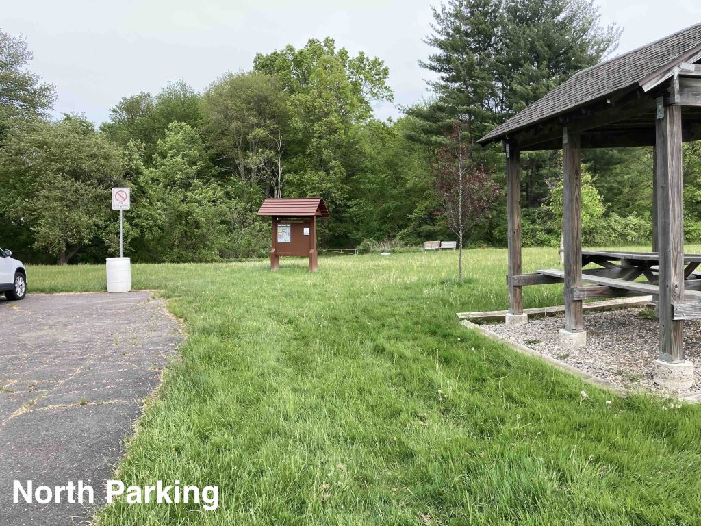
    • North Side: Small lot near 124 Remington St, Suffield, CT
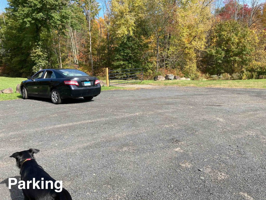
    • South Side: Medium sized lot near 1 Cain Street, Suffield, CT

    Trail Map          Trails: 1.8 miles       Rating: ★★☆☆☆

    As of Fall 2022 all the hiking trails are still only accessible from the Remingston Street side.

    Hiking

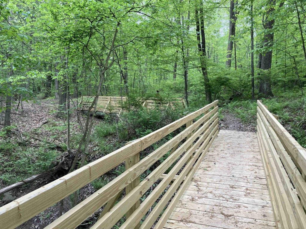
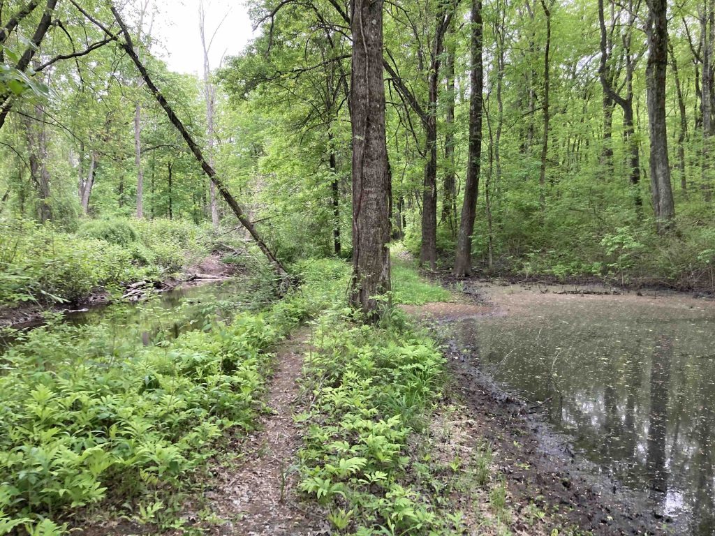
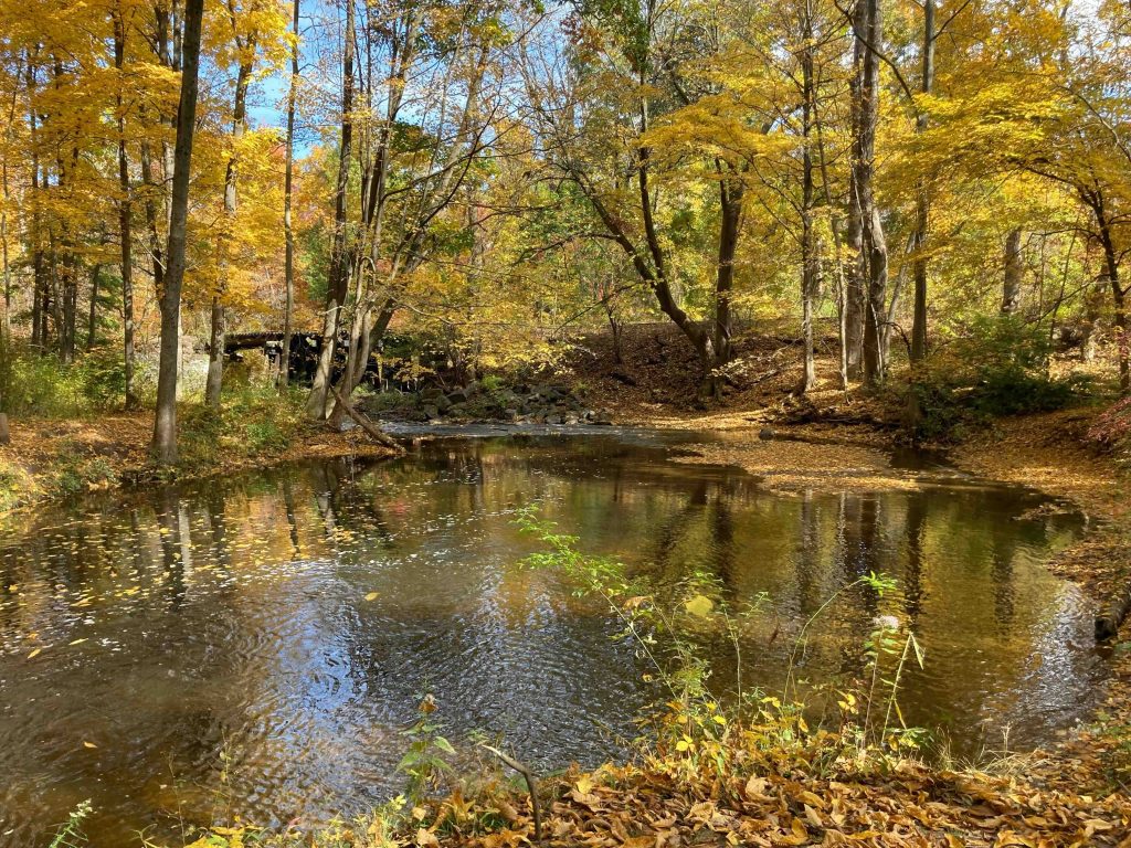
    North Side – There is a nice moderately maintained loop hike in the northern section of the park starting from the parking area and heading into the forested trail which follows Muddy Brook for the majority loops back along Stony Brook and then not too far from private property for about 1.5 miles round trip. The backside of the loop (nearest the south side) can be a bit overgrown in summer, but the rest of the trails are wide and well maintained.

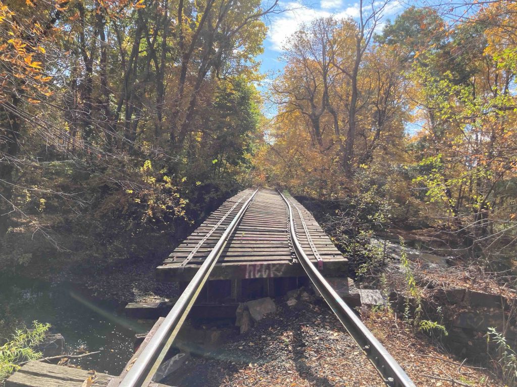
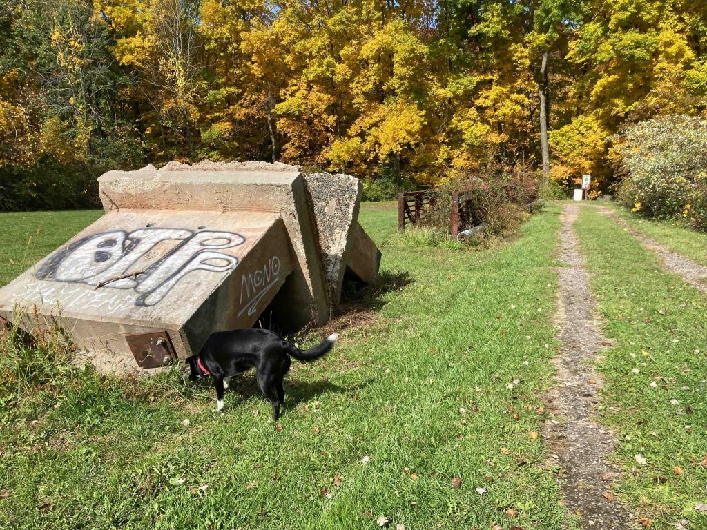
    South Side – Walking through the large field off the parking area leads past the overgrown remains of the an footbridge taken originally from Remington Street which will be used in the near future as a permanent bridge over the brook to connect both sides of the park.  Currently there is a very short path along the brook leading up to the a stretch of railroad track abandoned since 2009.  The railroad bridge over the brook is slowly collapsing but can be crossed to extend the walk just a tad.

    History

    This 70-acre park was given to the town by Charles S. Bissell in 1968 for conservation purposes. The odd spelling of Brooke is due to an old deed of the property with the antiquated or possible misspelling.

    From the Courant in 1968 about the donation:

    “The conservation commission has the responsibility of developing the land to be used for conservation and preservation and propagation of wildlife,” the article read. “The parcel includes a brook as well as wooded area and should lend itself well to these purposes … possibilities proposed were nature trails and horseback riding trails. Cleaning up the brook for fishing is important.”

    The railroad line is a roughly 3 mile spur coming from Windsor Locks originally built in 1870s by the independent railroad called the Windsor Locks and Suffield Railroad and its train was affectionately known as “The Huckleberry”. The line was then sold to the New York, New Haven and Hartford Railroad which offered as many as six trips a day on the Suffield line. This diminished as the years went by and with the last trolley service to Suffield ending in the 1920s.  The line is currently owned by Connecticut Southern Railroad and made freight delivieries on the line most recently going to the Stevenson Lumberyard, which closed in 2008.  Connecticut Southern sought official abandonment of the line in 2012 but the town was attempting to fight it – given that the tracks are still there it appears the town won.

    Links

    CTMQ – Stony Brooke Park (2017)

    Peter Marteka – As Third Choice, Suffield’s Stony Brook Park A Fun Romp (2016)

    Tags
    • ★★☆☆☆
    • 2022
    • 2023
    • Explored
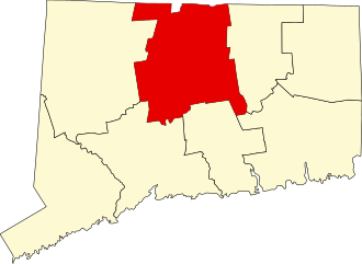
    • Hartford County
    • Peter Marteka
    • Suffield
    Last Updated

    The information shown here is for general reference purposes only. exploreCT.org gives no warranty, expressed or implied, as to the accuracy or reliability of this data. Parking in all areas, whether designated here or not, is at your own risk. exploreCT.org is not responsible for any damage or loss to vehicles or contents. Last updated October 16th, 2022

    Trail Map
    Location
    • 1 Cain Street, Suffield, CT, USA

      Get Directions
    Gallery
    Categories
    • Hiking
    Gallery
  • No comments yet.
  • Add a review

    Leave a Reply · Cancel reply

    Your email address will not be published. Required fields are marked *

    Overall Rating

    You May Also Be Interested In

    Spruce Brook Falls

    • ★★★★★
    • 16 miles
    Featured
    FW6F+CW Beacon Falls
    • Quick view
    • Bookmark

    Thach Preserve

    • ★★☆☆☆
    • 1 miles
    123 Brush Hill Rd
    • Quick view
    • Bookmark

    Mendell's Folly

    • ★★★★☆
    • 3.8 miles
    390 Beacon Rd
    • Quick view
    • Bookmark

    Hi, I’m Matt.

    I’m building ExploreCT to be the guide for all your outdoor adventures. All the trails, views, and waterways this great state has to offer.

    Now get out and explore!

    Monthly Newsletter

    Each month I share site updates or an interesting article in my newsletter. It’s short, sweet, and practical.

    600+ explorers read it, I’d love for you to join.

    Thank you!

    You have successfully joined our subscriber list.

    X-twitter Youtube Envelope Instagram

    Cart

      • Facebook
      • X
      • WhatsApp
      • Telegram
      • LinkedIn
      • Tumblr
      • Reddit
      • VKontakte
      • Mail
      • Copy link
      • Share via...
      • Threads
      • Bluesky