Site logo
    • Explore
      • Blue-Blaze Trails
      • Land Trusts
      • State Parks and Forests
      • By Town
    • exploreCT+
      • Membership
      • Shop
      • Events
    • Blog
    • Town Guides
    Sign in
    Listing cover image

    South Meadows River Trail

    • Trails
      2 miles
    • Rating
      ★★☆☆☆
    • Address
      100 S Meadow Ln, East Hartford, CT, USA
    • Explore
    • Trail Map
    • New Page
    • prev
    • next
    • Share
    • Get directions
    • Report
    • prev
    • next
    At A Glance

    Goodwin University

    acres in East Hartford, Glastonbury, and Wethersfield, CT

    Parking: Small lot near 100 S Meadow Ln, East Hartford, CT

    Trail Map          Trails: 1.6 miles        Rating: ★★☆☆☆

    A narrow entrance driveway opens into a wide park area with fitness area and a paved loop trail with the option to continue downstream on rougher floodplain.

    Hiking

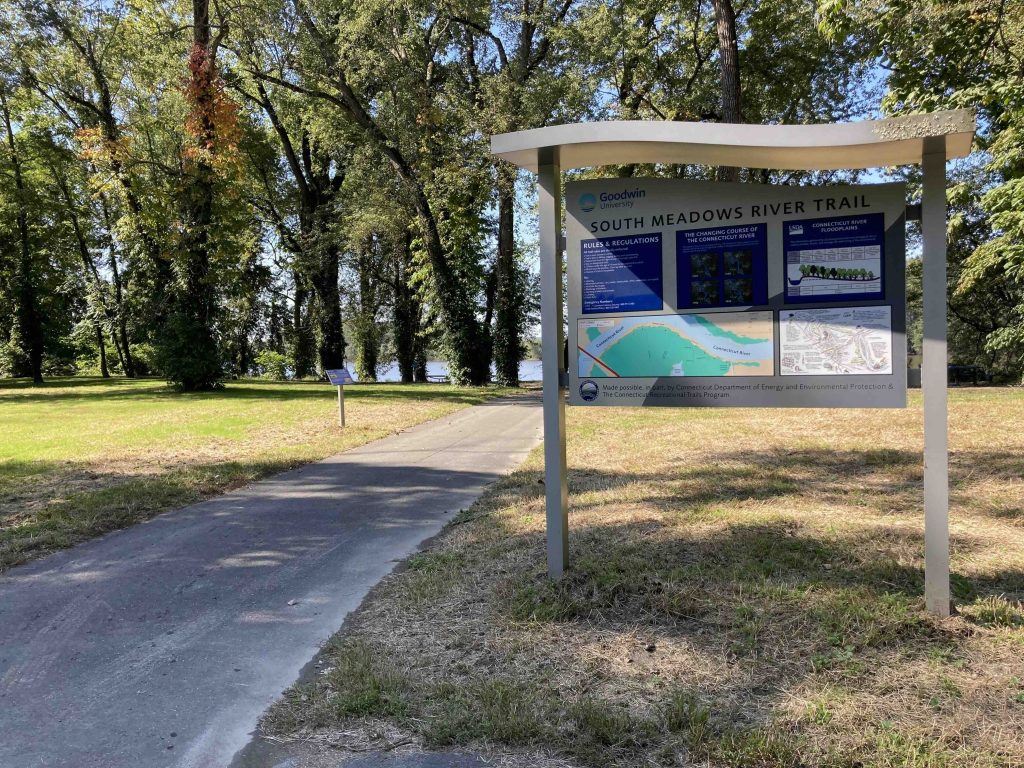
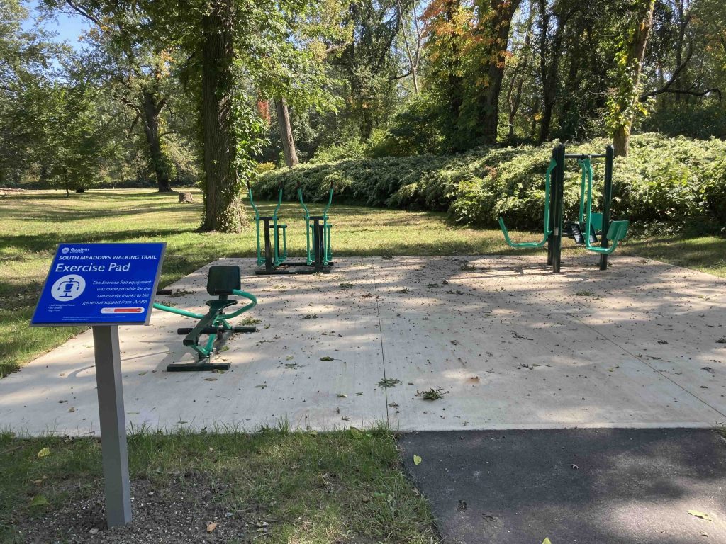
    The entrance driveway down the lane is pinched between a cemetary and a bunch of private housing but soon opens into a wide open area dotted by massive old pines. You soon reach large kiosk that kicks of the trail though the area still feels like a work in progress. The paved path actually heads in both directions heading downstream passes a body powered exercise equipment area, that seemed great and I'm sure is under-utilized.

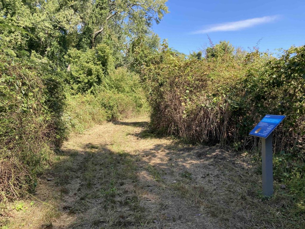
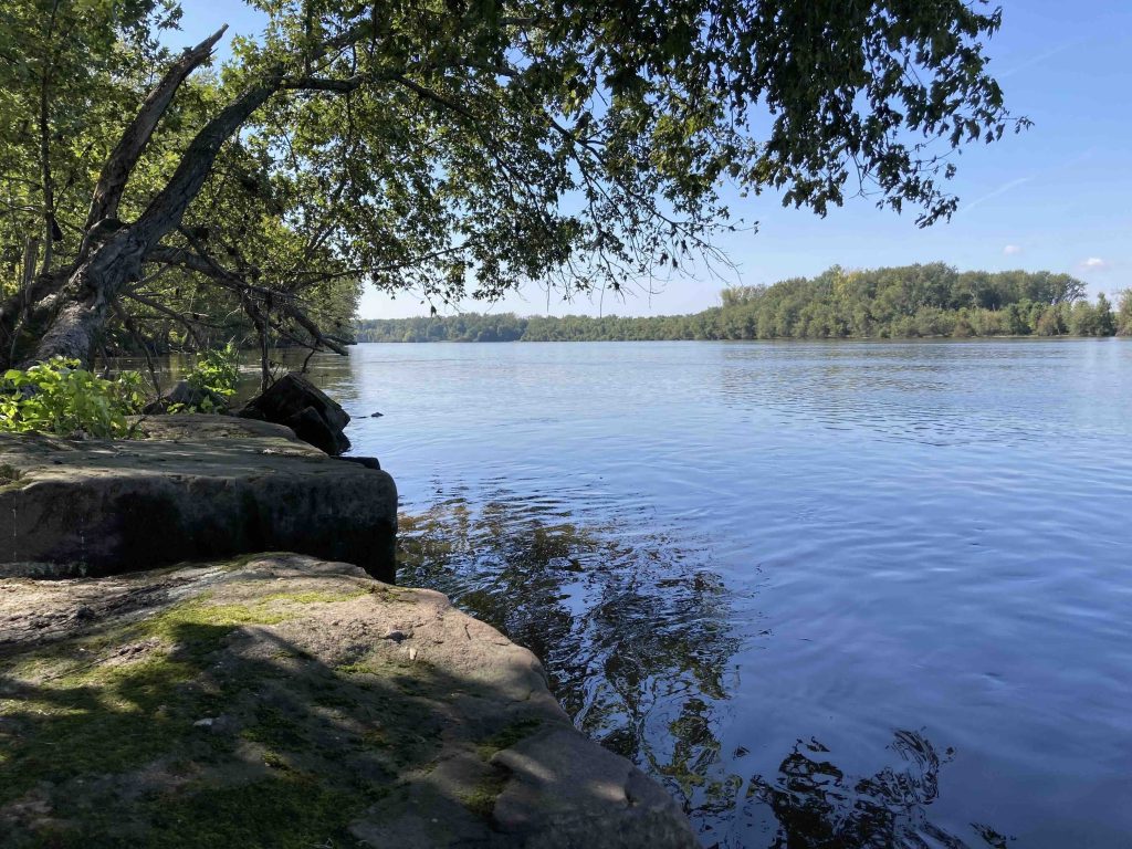
    The paved path follows the water providing frequent views before forking into a loop. Shortly after the trail reduced to a mowed path through a thicket of growth along the bank.  Upkeep seemed strong and there were informative signs dotting the trail.

    The next stretch entered some rolling muddy hills from recent river flooding and there was even a well built bridge over a feeder stream.  Again this area felt like a work in progress as they work to connect the south end of the trail to the Putnam Bridge (completed in 2024). It was a largely unremarkable hike though the handful of views along the water were nice.  I retraced my steps for a 3 mile hike roundtrip that was fairly flat and easy.

    Links

    Peter Marteka – Embracing the banks of the Connecticut River through the Wethersfield Triangle (2020)

    Tags
    • ★★☆☆☆
    • Explored
    • 2023
    • East Hartford
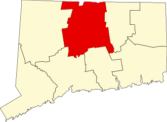
    • Hartford County
    • Glastonbury
    • Great Meadows Conservation Trust
    • Peter Marteka
    • Wethersfield
    • Connecticut River
    Last Updated

    The information shown here is for general reference purposes only. exploreCT.org gives no warranty, expressed or implied, as to the accuracy or reliability of this data. Parking in all areas, whether designated here or not, is at your own risk. exploreCT.org is not responsible for any damage or loss to vehicles or contents. Last updated October 2nd, 2023

    Trail Map
    Location
    • 100 S Meadow Ln, East Hartford, CT, USA

      Get Directions
    Gallery
    Categories
    • Hiking
    • Fishing
    Gallery

    You May Also Be Interested In

    Spruce Brook Falls

    • ★★★★★
    • 16 miles
    Featured
    FW6F+CW Beacon Falls
    • Quick view
    • Bookmark

    Marcia Woolworth Porter Preserve

    • Unexplored
    • 0.2 miles
    Wamphassuc Road
    • Quick view
    • Bookmark

    Rosecliff Tract

    • Unexplored
    • 1 miles
    0 Bittersweet Dr
    • Quick view
    • Bookmark

    Hi, I’m Matt.

    I’m building ExploreCT to be the guide for all your outdoor adventures. All the trails, views, and waterways this great state has to offer.

    Now get out and explore!

    Monthly Newsletter

    Each month I share site updates or an interesting article in my newsletter. It’s short, sweet, and practical.

    600+ explorers read it, I’d love for you to join.

    Thank you!

    You have successfully joined our subscriber list.

    X-twitter Youtube Envelope Instagram

    Cart

      • Facebook
      • X
      • WhatsApp
      • Telegram
      • LinkedIn
      • Tumblr
      • Reddit
      • VKontakte
      • Mail
      • Copy link
      • Share via...
      • Threads
      • Bluesky