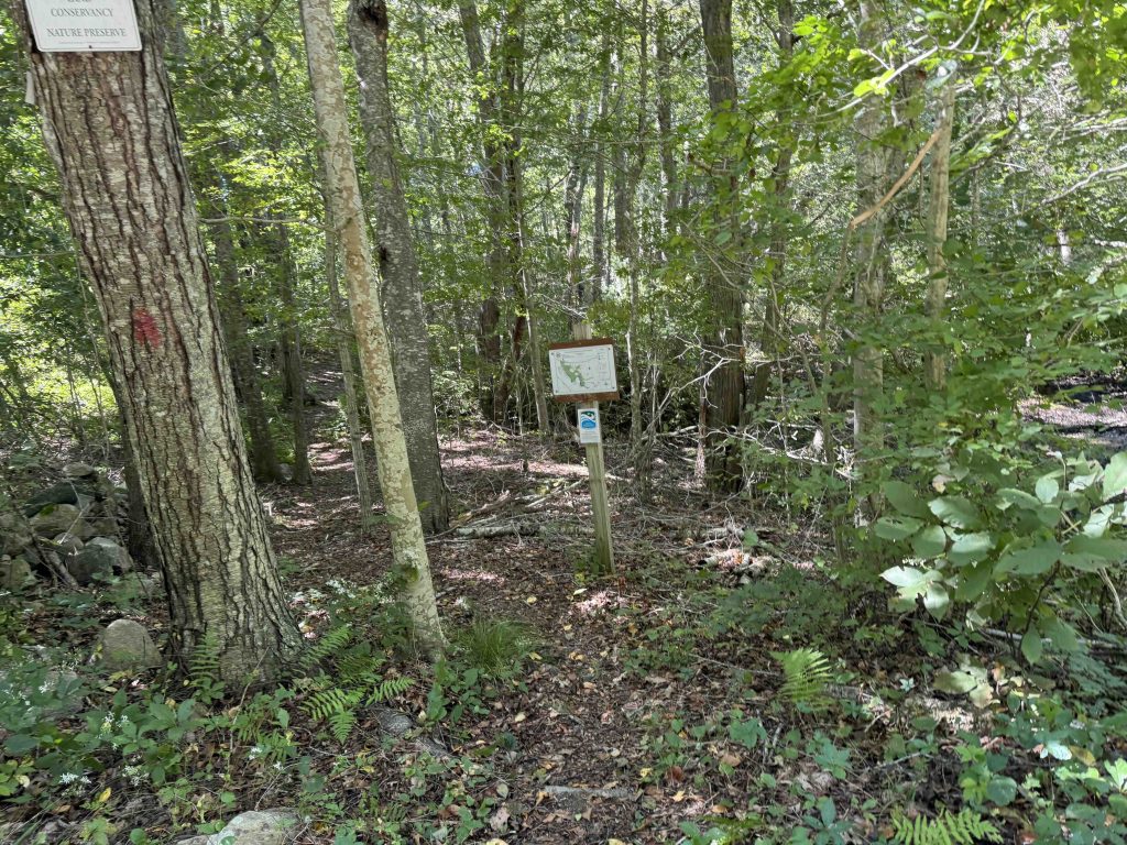
Shunock Brook Preserve
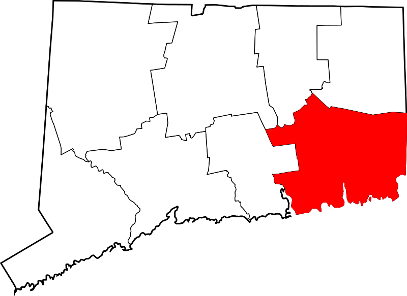
113.12 acres in North Stonington, CT
Parking: Shoulder parking near 71 Babcock Rd North Stonington, CT
Trail Map Trails: 1.5 miles Trail Difficulty: Moderate Rating: ★★☆☆☆
I hiked from the adjacent Babcock Ridge property taking the unblazed Pond Loop at the north end of the property. The trail map notes parking at the end of the blue trail, but based on the disuse of that trail my guess is that no one is taking advantage of the narrow shoulder parking when they could go just a bit farther to the Babcock lot.
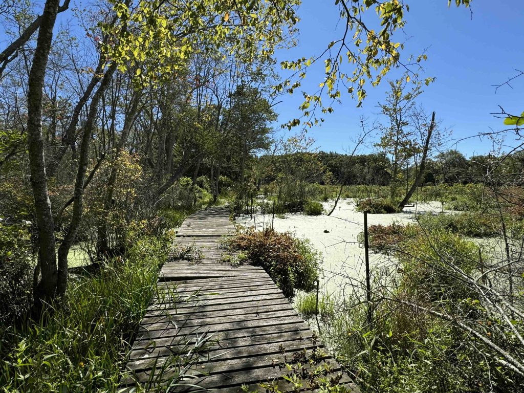
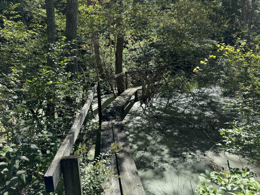
The trail heads downhill through the forest until climbing atop an esker that cuts between a marshy pond and wetlands area. A boardwalk clips the edge of this marshy pond for a nice view. The trail then works through thick undergrowth along the wetlands to a ambitious yet rickety bridge over a different water stretch.
The trails have been ‘meandered’ fairly recently, taking what was once straight shots up and down hills and making them curve this way and that while blocking use of the original trail. It’s certainly a long term sustainability thing for erosion control and water management but since it’s so new it felt a bit silly.
The trail map notes the trail splitting into a main blue and an alternate blue, looks like I took the main blue trail and did not notice any alternates branching off at either end.
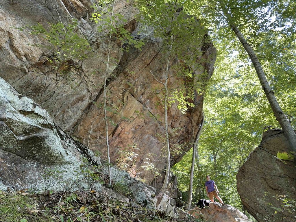
The next site is the rock ledges section with one impressive overhang which could potentially make a great wall for sport climbing. From here the trail works over to Surrey Lane which is the only real suitable parking for this trail.
History:
Preserved in 1994.
Links:
The information shown here is for general reference purposes only. exploreCT.org gives no warranty, expressed or implied, as to the accuracy or reliability of this data. Parking in all areas, whether designated here or not, is at your own risk. exploreCT.org is not responsible for any damage or loss to vehicles or contents.
Visited 1764 times, 1 Visits today