Site logo
    • Explore
      • Blue-Blaze Trails
      • Land Trusts
      • State Parks and Forests
      • By Town
    • exploreCT+
      • Membership
      • Shop
      • Events
    • Blog
    • Town Guides
    Sign in or Register
    Listing cover image

    Shugrue Reserve

    • Trails
      2 miles
    • Rating
      ★★☆☆☆
    • Address
      43 Town Rd, Colchester, CT 06415, USA
    • Explore
    • Trail Map
    • Reviews 0
    • New Page
    • prev
    • next
    • Bookmark
    • Share
    • Get directions
    • Report
    • prev
    • next
    At A Glance

    Shugrue Farm Reserve

    East Haddam Town Park

    225 acres in East Haddam, CT

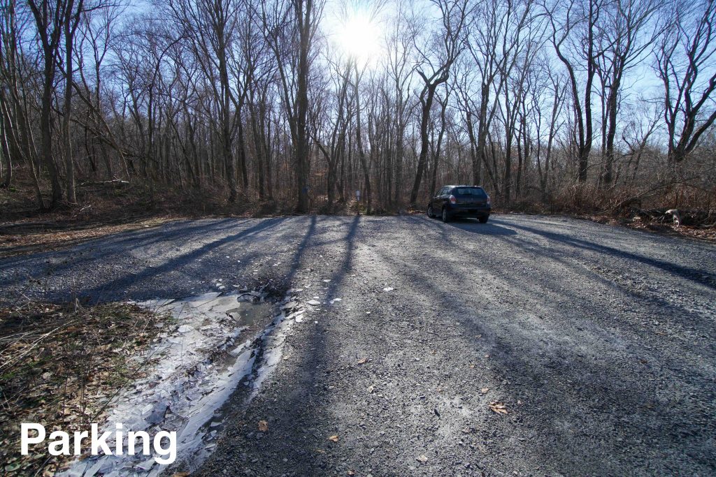
    Parking: Shoulder parking near 22 Town Rd, Colchester, CT

    Trail Map       Trails: 2.2 miles       Rating: ★★☆☆☆

    The Shugrue Farm Reserve is the town of East Haddam‘s newest park though it has been in the works since 2006.  I heard about it through the East Haddam Land Trust First Day hike for 2020.  I headed over a few days early to find trails so new that the parking area had just been cleared, no trailhead kiosk, and no trail map or information anywhere.  Since then a trail map has been developed (though they didn’t take my name suggestions) and I’ll have to revisit to see about the parking and kiosk.

    Hiking

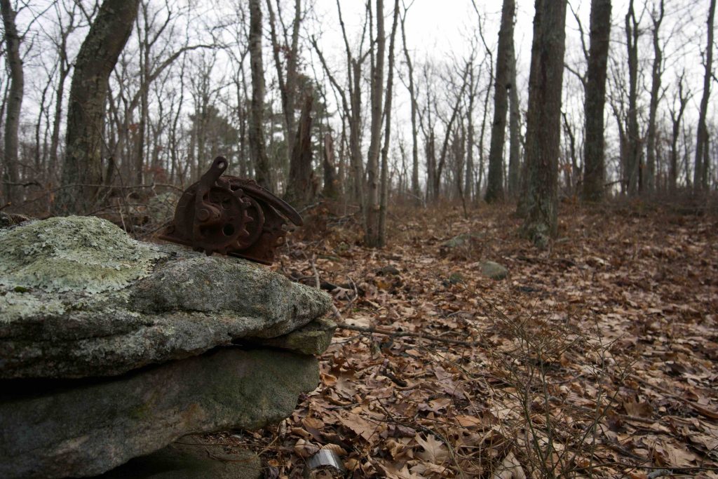
    The trails here start in the wet lowlands of the property.  Careful rock hopping avoids the stream and stretch of mud that bars the first hundred feet.  The blazes are a vibrant blue and split just into the woods.  I took the left fork headed gradually uphill.  The slow uphill climb continues for .4 miles until you reach a trail junction where the blue and red loops meet.  There is also an old cart path that is well established but unblazed heading toward Cold Spring Farm. The area around the junction is decorated with rusted artifacts and an old birdhouse.

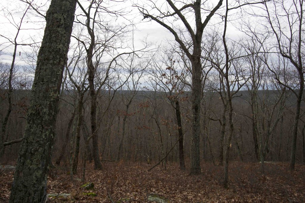
    I continued onto the red trail resuming the slow climb.  The section has likely been cleared by bushhog and while the blazes are clear and easy to follow the path underfoot needs some breaking in.  As I reached the summit of whatever hill I had been climbing the trees switched to pines and the summit was a sort of grove.  The area felt special for reasons I can’t describe.  Old paths similar to the cart path from the junction criss cross this area though the blazed trail ignores them heading straight over the hill and down the other side.  The trail works its way along the slope of the hill as the land breaks away below you.  With the leaves off the trees you can get the shape of the hills along the horizon, but no clear views.

    I soon spotted a tibia type bone in the middle of the path, briefly stopping to push it with my foot.  I continued on my way and a bit later found a deer skull.  Then a good bit later a lower jaw.  Since this trail is yet to be named, I’ll temporarily call it the Pine Bone Loop.  The red Pine Bone Loop is about a mile long and rejoins the blue trail near the junction.  The blue trail heads back downhill through fern glades and jumping a small stream as it reenters the wet lowlands back to the parking area.

    History

    Preserved in 2012. East Haddam secured $387,000 to purchase the development rights to the 281-acre Shugrue property thanks to the 12th round of open space grants from the state Department of Environmental Protection in 2006. I don’t have any info on the lag time between the grant and its preservation date or between 2012 and when it opened to the public in 2020.  The property — on the west side of Lake Hayward — comprises 66 acres of active farmland, 30 acres of land associated with farm buildings and land between fields and 190 acres of undeveloped forested lands.

    Tags
    • ★★☆☆☆
    • 2019
    • Explored
    • East Haddam
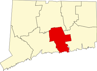
    • Middlesex County
    Last Updated

    The information shown here is for general reference purposes only. exploreCT.org gives no warranty, expressed or implied, as to the accuracy or reliability of this data. Parking in all areas, whether designated here or not, is at your own risk. exploreCT.org is not responsible for any damage or loss to vehicles or contents. Last updated December 29, 2019

    Trail Map
    Location
    • 43 Town Rd, Colchester, CT 06415, USA

      Get Directions
    Gallery
    Categories
    • Hiking
    Gallery
  • No comments yet.
  • Add a review

    Leave a Reply · Cancel reply

    Your email address will not be published. Required fields are marked *

    Overall Rating

    You May Also Be Interested In

    Spruce Brook Falls

    • ★★★★★
    • 16 miles
    Featured
    FW6F+CW Beacon Falls
    • Quick view
    • Bookmark

    Thach Preserve

    • ★★☆☆☆
    • 1 miles
    123 Brush Hill Rd
    • Quick view
    • Bookmark

    Mendell's Folly

    • ★★★★☆
    • 3.8 miles
    390 Beacon Rd
    • Quick view
    • Bookmark

    Hi, I’m Matt.

    I’m building ExploreCT to be the guide for all your outdoor adventures. All the trails, views, and waterways this great state has to offer.

    Now get out and explore!

    Monthly Newsletter

    Each month I share site updates or an interesting article in my newsletter. It’s short, sweet, and practical.

    600+ explorers read it, I’d love for you to join.

    Thank you!

    You have successfully joined our subscriber list.

    X-twitter Youtube Envelope Instagram

    Cart

      • Facebook
      • X
      • WhatsApp
      • Telegram
      • LinkedIn
      • Tumblr
      • Reddit
      • VKontakte
      • Mail
      • Copy link
      • Share via...
      • Threads
      • Bluesky