Shelter Falls

Mansfield Town Park

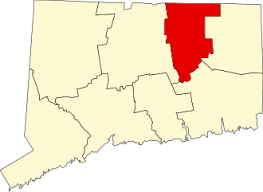
75 acres in Mansfield, CT

Parking: Small pull off near 172 Birch Rd Mansfield, CT

Trail Map             Trails: 2 miles           Rating: ★★☆☆☆


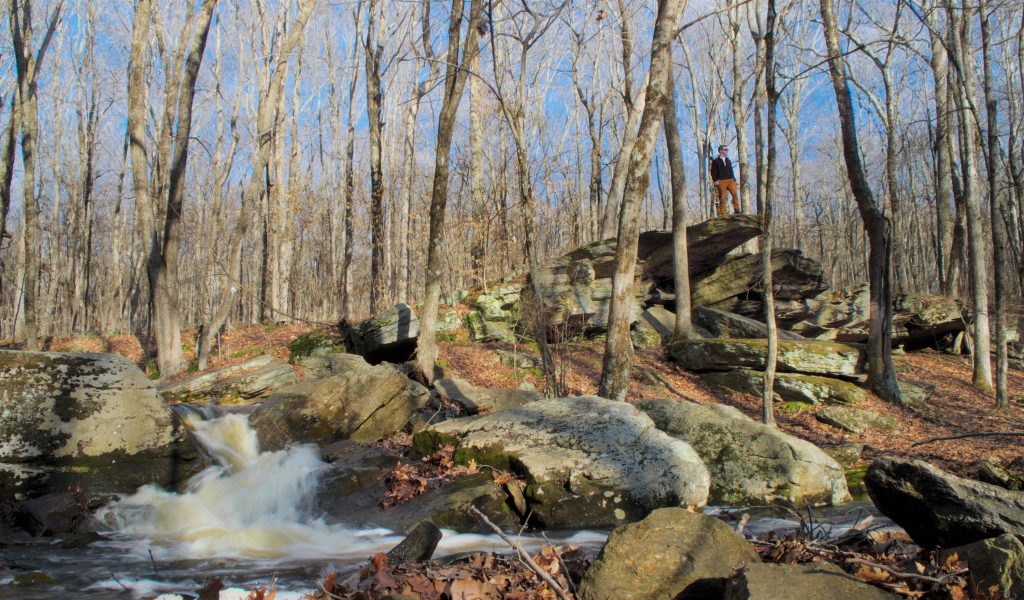
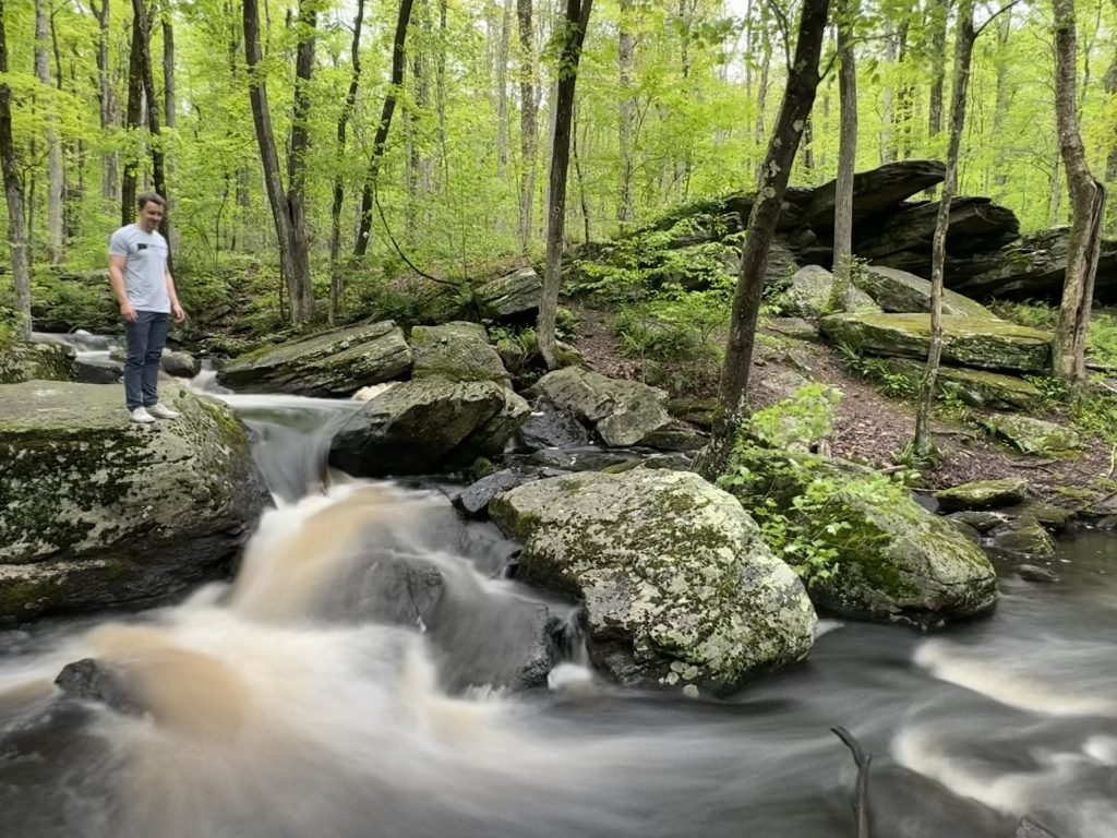
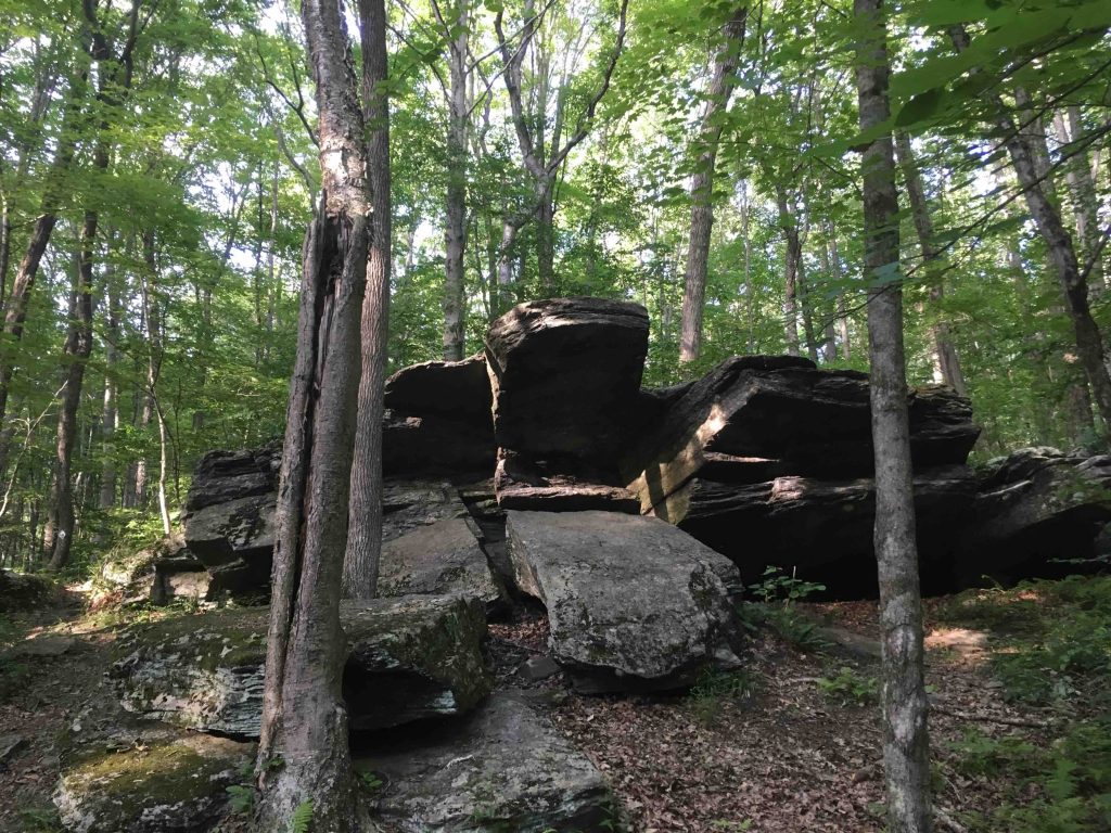
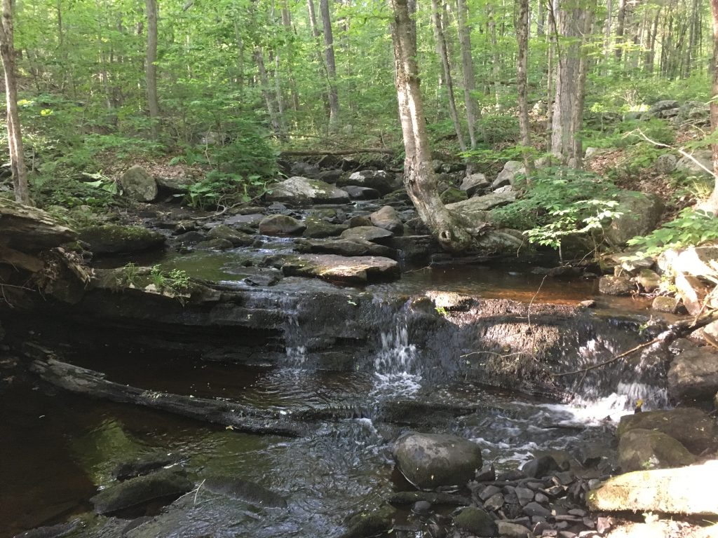
Shelter Falls is named for the three tiny waterfalls along Cedar Swamp Brook as it heads towards Nelson Brook.  Next to the brook is a ‘sheltering’ rock overhang, a tiny replica of the Lion King pride rock. The trail guide lists 1.7 miles of trails from Birch Road out around the falls and north to Hunting Lodge Rd, the campus bike path, and UCONN Hillside Environmental Park (additional 2 miles of trail).

Hiking

Southern Section

  • Heading south talked you down a well traveled entry to cross Cedar Swamp Brook for a view of the falls and shelter rock. Side trails let you get close to the falls and atop the rock.  Following the blazed trail south soon leads to a junction, left takes you towards and overgrown exit that would allow access to UCONN HEEP.
  • Taking a right crosses from town land into University of Connecticut’s North Eagleville Tract ending at North Eagleville Rd.  The trail is easy to follow and is mainly a rough out and back through open forest. However, a version of the lower western trail to North Eagleville Rd has been re-cleared (but not blazed) in 2019 but just drops you on Bone Mill Road in a different manner than indicated on the map above.  The side trail to the Gurley Cemetary also no longer exists.  On my 2023 hike of the property I decided to tromp a bit off trail down to the pond (which was a very nice secluded view) and lo and behold there is a very old forgotten trail with white blazes leading back up to the main trail.  A log has been placed disguising the turn so it may have been abandoned on purpose, though the view of the pond was well worth it.
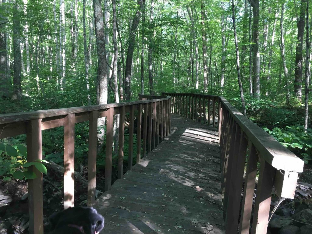
  • Hiking these these trails out and back adds up to a real distance of about 4 miles.  The trails are in poor shape overall with overgrowth, erosion, and fallen trees but somehow still provide a great hike.

Northern Section

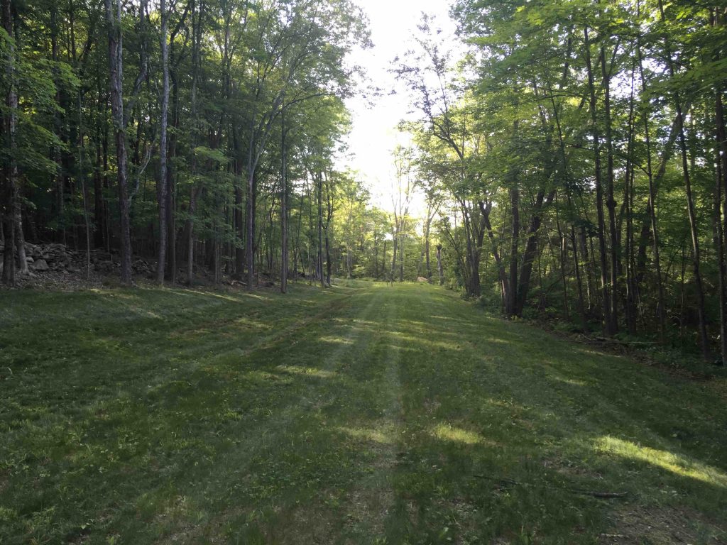
  • North of Birch Rd is an additional 48 acres leased to the Mansfield from the DEEP, which has a short loop trail that passes through hardwood forest and wetland views. This trail falls under the forgotten category, however.  At last hike in July of 2018, the utility corridor was nicely mowed, but the blazed trail has fallen into complete disuse.  Enough white blazes are left on the western side to follow uphill to an old foundation but expect to work to stay with the blazes.  The trails on the eastern side are very overgrown and/or very faint, so it wasn’t even worth trying to complete this side of the loop.

History

Where Nelson Brook and Cedar Swamp Brook meet was the site of a mill.


The information shown here is for general reference purposes only. exploreCT.org gives no warranty, expressed or implied, as to the accuracy or reliability of this data. Parking in all areas, whether designated here or not, is at your own risk. exploreCT.org is not responsible for any damage or loss to vehicles or contents.
Last updated April 21st, 2023

Visited 3838 times, 4 Visits today

Related Listings

Hubbard Park: Castle Craig

★★★★★

41.556511, -72.835818

Hubbard Park: Castle Craig Meriden Town Park 1,800 acres in Meriden, CT Parking: Year round lot near 999 W Main St, Meriden, CT or drive up to…

Batz Property

★★☆☆☆

97 Shenipsit Street, Ellington, CT, USA

Batz Property Ellington Town Park 44.86 acres in Ellington, CT Parking: Small lot near 97 Shenipsit St, Ellington, CT Trail Map        Trails: 1.1 miles …

St Peter’s Preserve

Unexplored

35 Church St, Hebron, CT 06248, USA

St Peter’s Preserve Hebron Town Park acres in Hebron, CT Parking: Medium sized lot near 35 Church St, Hebron, CT Trail Map         Trails: 1…