Site logo
    • Explore
      • Blue-Blaze Trails
      • Land Trusts
      • State Parks and Forests
      • By Town
    • exploreCT+
      • Membership
      • Shop
      • Events
    • Blog
    • Town Guides
    Sign in or Register
    Listing cover image

    Sessions Woods

    • Trails
      4 miles
    • Rating
      ★★★☆☆
    • Address
      341 Milford St, Burlington, CT, USA
    • Explore
    • Trail Map
    • Reviews 0
    • New Page
    • prev
    • next
    • Bookmark
    • Share
    • Get directions
    • Report
    • prev
    • next
    At A Glance

    Connecticut WMA

    771 acres in Burlington, CT

    Parking: Large lot near 341 Milford St, Burlington, CT

    Trail Map           Trails: 4 miles      Rating: ★★★☆☆

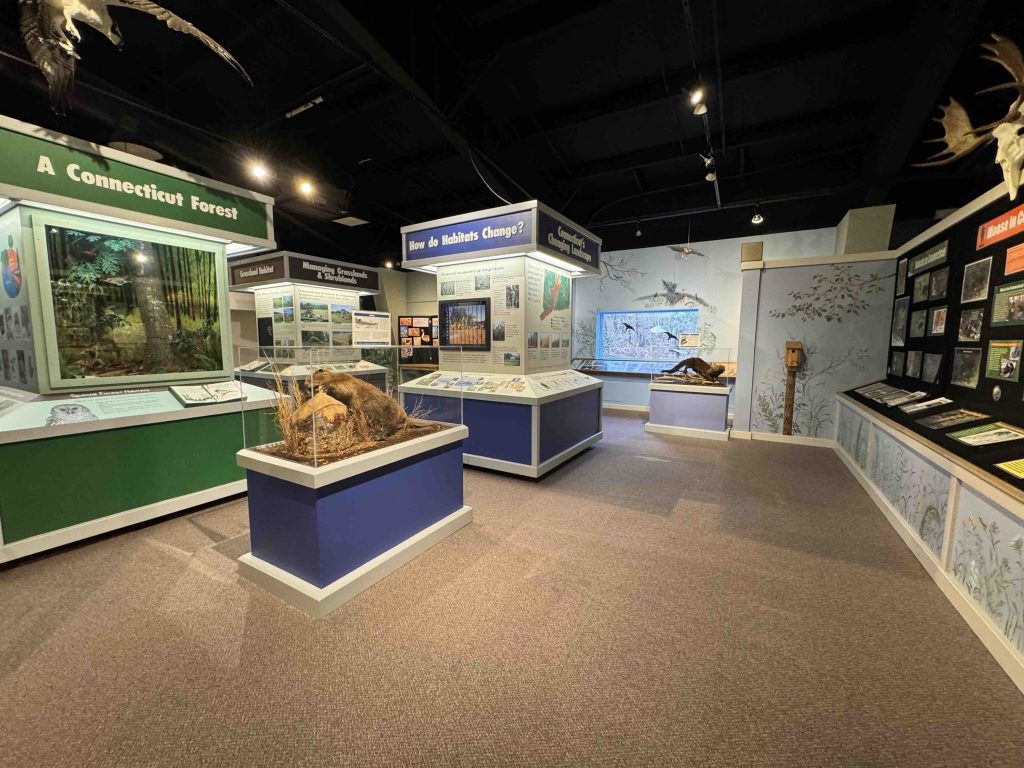
    Sessions Woods is far and away one of the most popular Wildlife Management Areas in the state thanks to it’s nature center, hiking trails, fire tower overlook, waterfall, and scenic views.

    Hiking

    Beaver Pond Trail – 2.6 miles

      • The main trail here is a wide gravel loop road around the property that is fairly hilly but easily traversable and provides access to all the side views and cut-through trails. There are many
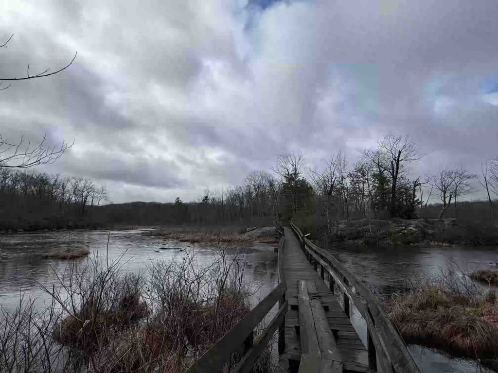
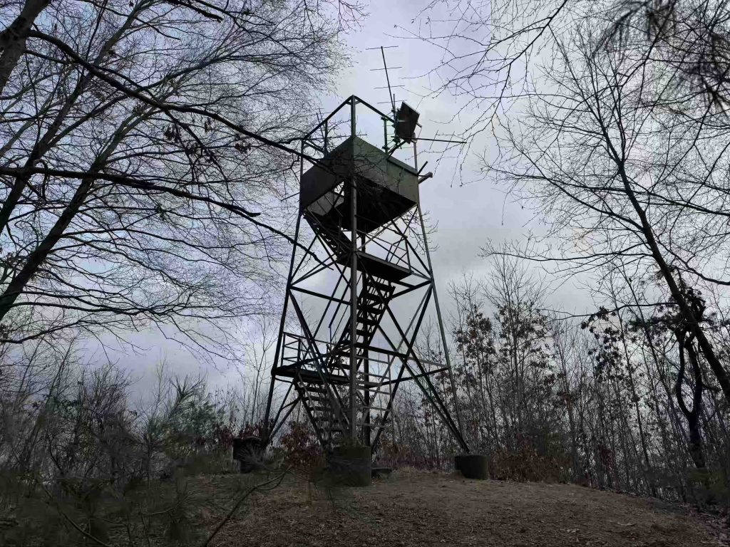
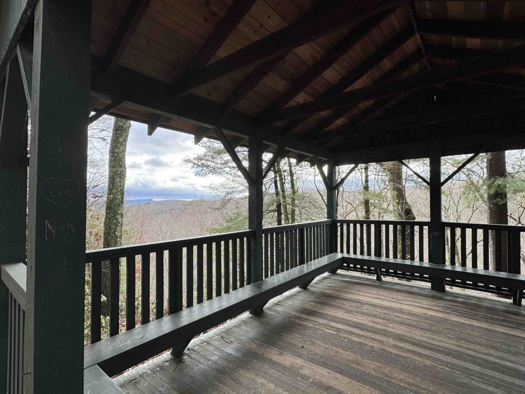
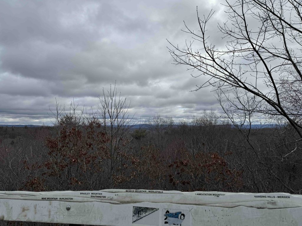
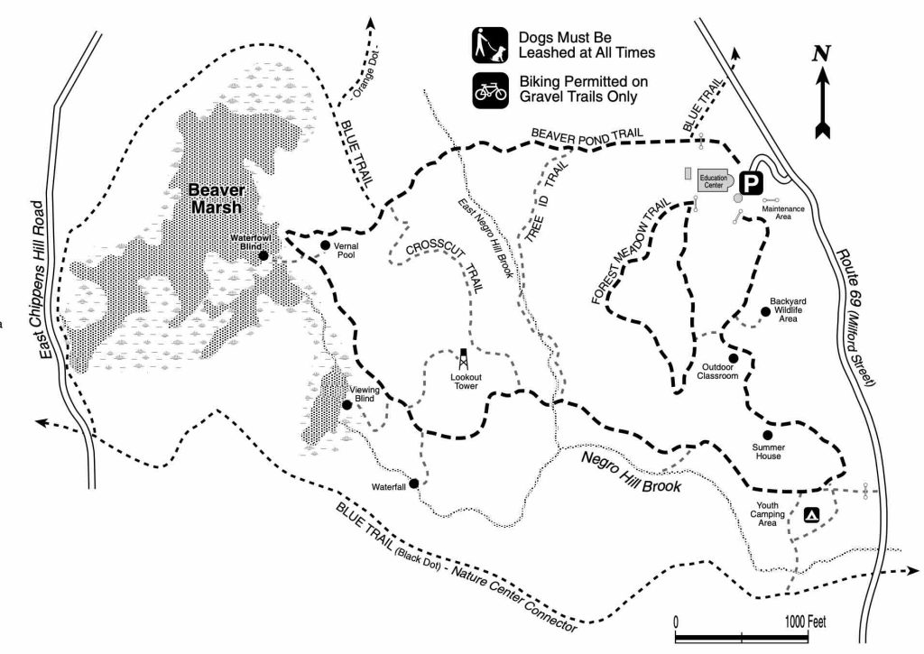
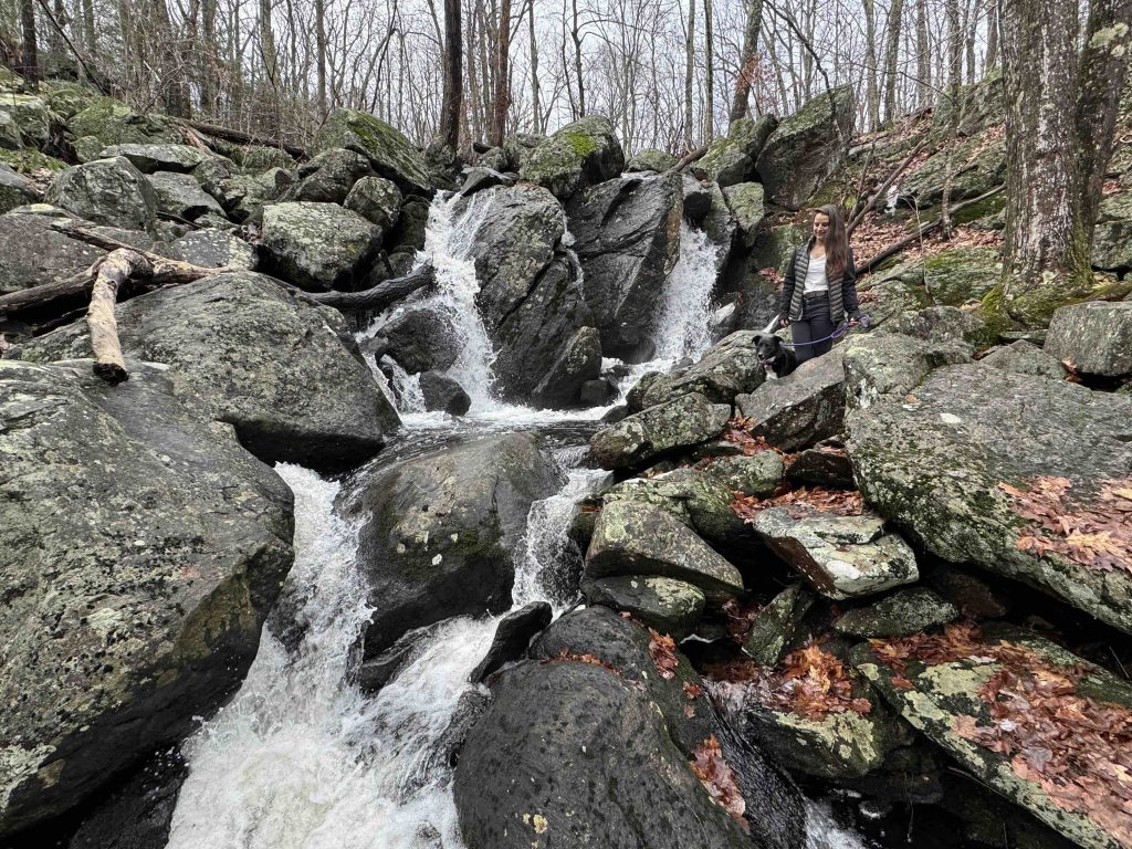
      • The boardwalk out to the waterfowl blind in Beaver Marsh was closed as of January 2025. The viewing blind on the backside of the loop was a fun side visit. The 30′ Lookout Tower sits atop a hill (Negro Hill) at 750′ above sea level, certainly an old fire lookout very similar to the one at Southford Falls.  The view is northeast with a cool profile identifier of the far ridges you can see from the top like Lamentation Mountain. Another short side trail leads to the waterfall known as Negro Hill Brook Falls. The falls are about 20′ tall with up to 3 separate plunges among the rocks.
      • The trail also passes the youth camping area, summer house pavilion, outdoor classroom amphitheater, and the backyard wildlife area.

    Crosscut Trail – 0.4 miles

    Tree ID Trails – 0.4 miles

    Forest Meadow Trail –0.5 miles

    History

    Acquired by the state in 1981 or 1982 from the Sessions family. In the mid-1800s John Humphrey Sessions moved from Vermont to Bristol and started J. H. Sessions & Sons, a firm specializing in trunk hardware. The family acquired several tracts of land in Bristol and Burlington. In 1957, the Sessions family sold one of these in Burlington to the New York Conference of the Methodist Church who operated it as a summer camp. The Church could no longer afford to operate the summer camp and so put the land up for sale in 1980. The State was interested in purchasing, but there was a developer willing to pay double so a group of Burlington residents banded together to form the Friends of Sessions Woods and convinced the church to sell it to the state.

    In 2004, Sessions Woods acquired a large additional tract of land from the New Britain Water Department, almost doubling the size of the protected area.

    Links

    Connecticut History – Saving Sessions Woods (2022)

    CTMQ – Sessions Woods WMA (2014)

    Tags
    • ★★★☆☆
    • 2025
    • Explored
    • Burlington
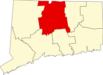
    • Hartford County
    • Towers
    • Waterfalls
    Last Updated

    The information shown here is for general reference purposes only. exploreCT.org gives no warranty, expressed or implied, as to the accuracy or reliability of this data. Parking in all areas, whether designated here or not, is at your own risk. exploreCT.org is not responsible for any damage or loss to vehicles or contents. Last updated Jan 1st, 2025

    Trail Map
    Location
    • 341 Milford St, Burlington, CT, USA

      Get Directions
    Gallery
    Categories
    • Hiking
    Gallery
  • No comments yet.
  • Add a review

    Leave a Reply · Cancel reply

    Your email address will not be published. Required fields are marked *

    Overall Rating

    You May Also Be Interested In

    Spruce Brook Falls

    • ★★★★★
    • 16 miles
    Featured
    FW6F+CW Beacon Falls
    • Quick view
    • Bookmark

    Bartholomew Open Space

    • Unexplored
    • 0.6 miles
    72 Buttonball Rd
    • Quick view
    • Bookmark

    Avery Nature Preserve

    • Unexplored
    • 2.6 miles
    60R Scotch Cap Rd
    • Quick view
    • Bookmark

    Hi, I’m Matt.

    I’m building ExploreCT to be the guide for all your outdoor adventures. All the trails, views, and waterways this great state has to offer.

    Now get out and explore!

    Monthly Newsletter

    Each month I share site updates or an interesting article in my newsletter. It’s short, sweet, and practical.

    600+ explorers read it, I’d love for you to join.

    Thank you!

    You have successfully joined our subscriber list.

    X-twitter Youtube Envelope Instagram

    Cart

      • Facebook
      • X
      • WhatsApp
      • Telegram
      • LinkedIn
      • Tumblr
      • Reddit
      • VKontakte
      • Mail
      • Copy link
      • Share via...
      • Threads
      • Bluesky