Site logo
    • Explore
      • Blue-Blaze Trails
      • Land Trusts
      • State Parks and Forests
      • By Town
    • exploreCT+
      • Membership
      • Shop
      • Events
    • Blog
    • Town Guides
    Sign in or Register
    Listing cover image

    Scantic Riparian Area

    • Trails
      1 miles
    • Rating
      ★☆☆☆☆
    • Address
      68 Durkee Rd, Somers, CT, USA
    • Explore
    • Trail Map
    • Reviews 0
    • New Page
    • prev
    • next
    • Bookmark
    • Share
    • Get directions
    • Report
    • prev
    • next
    At A Glance

    Northern Connecticut Land Trust

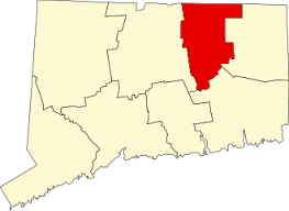
    40 acres in Somers, CT

    Parking: Small lot under the powerlines near 68 Durkee Rd, Somers, CT

    Trail Map         Trails: 0.5 miles    Rating: ★☆☆☆☆

    Hiking

    Gosh, I would have liked to have seen the real trail here while it existed, following the twists and turns of the Scantic River, navigating log and bog bridges. But, keeping up maintenance on a trail that floods periodically is a big enough challenge that the resources of time and energy are better spent elsewhere. So the “real” 1 mile loop here has been abandoned.

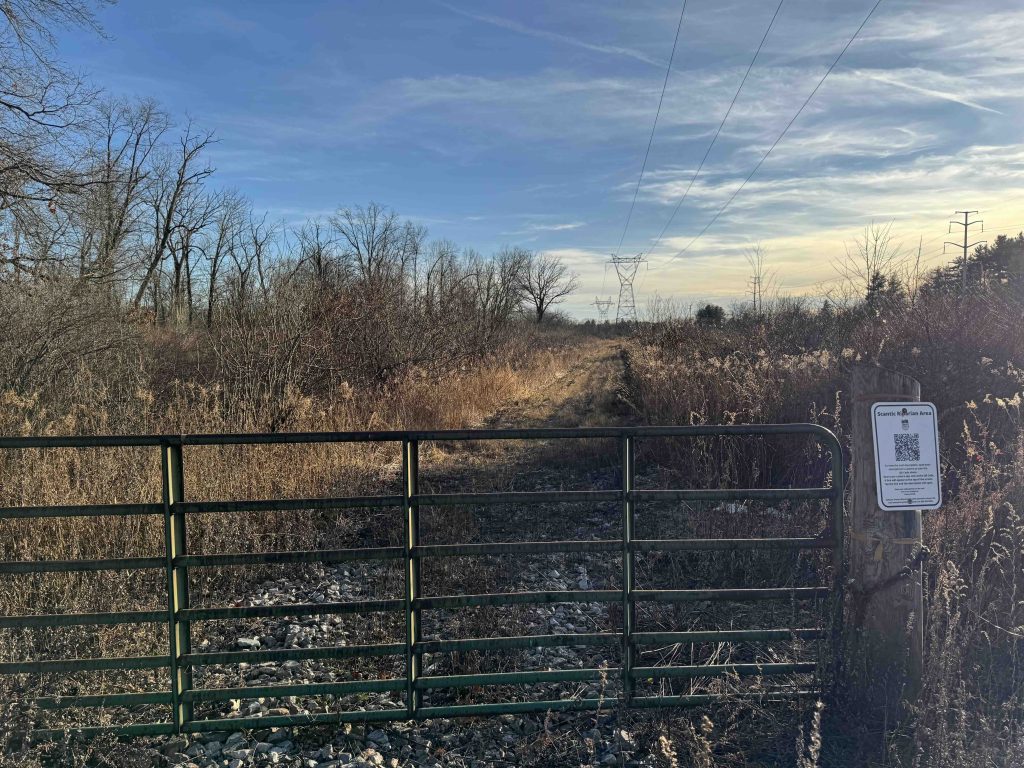
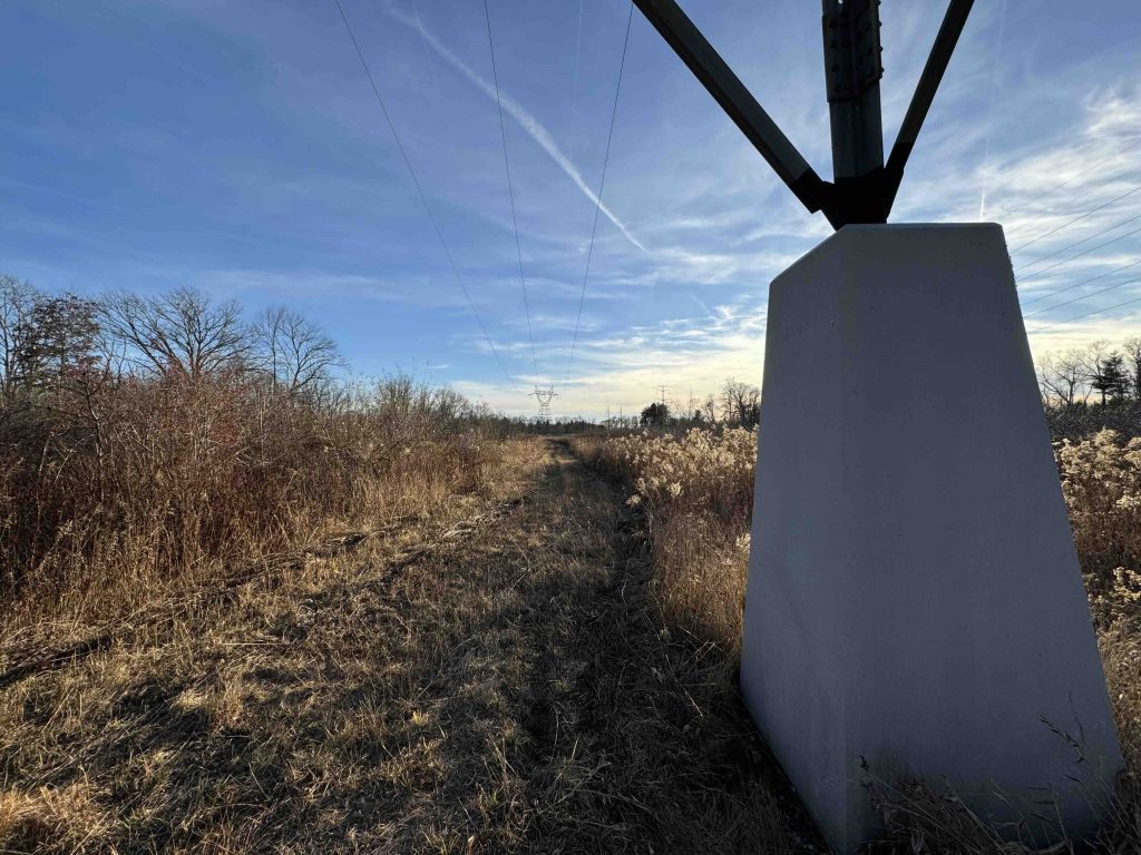
    Instead, we get a half-mile walk under the powerlines. It’s about as uneventful as you’d expect if you’re looking at it from a pure hiking perspective. The trail is a mowed path, but it remains untamed and a bit unpleasant. However, thanks to the adjacent riparian area, the spot is potentially great for bird watching.

    Links

    CTMQ – Scantic Riparian Area (2024)

    Tags
    • ★☆☆☆☆
    • 2024
    • Explored
    • Somers
    • Tolland County
    • Northern Connecticut Land Trust
    Last Updated

    The information shown here is for general reference purposes only. exploreCT.org gives no warranty, expressed or implied, as to the accuracy or reliability of this data. Parking in all areas, whether designated here or not, is at your own risk. exploreCT.org is not responsible for any damage or loss to vehicles or contents. Last updated November 25th, 2024

    Trail Map
    Location
    • 68 Durkee Rd, Somers, CT, USA

      Get Directions
    Gallery
    Categories
    • Hiking
    Gallery
  • No comments yet.
  • Add a review

    Leave a Reply · Cancel reply

    You must be logged in to post a comment.

    You May Also Be Interested In

    Spruce Brook Falls

    • ★★★★★
    • 16 miles
    Featured
    FW6F+CW Beacon Falls
    • Quick view
    • Bookmark

    White Oak Preserve

    • Unexplored
    • 0.2 miles
    600 Raymond Hill Rd
    • Quick view
    • Bookmark

    Woodlands Nature Preserve

    • Unexplored
    • 0.5 miles
    99 Beacon Hill Dr
    • Quick view
    • Bookmark

    Hi, I’m Matt.

    I’m building ExploreCT to be the guide for all your outdoor adventures. All the trails, views, and waterways this great state has to offer.

    Now get out and explore!

    Monthly Newsletter

    Each month I share site updates or an interesting article in my newsletter. It’s short, sweet, and practical.

    600+ explorers read it, I’d love for you to join.

    Thank you!

    You have successfully joined our subscriber list.

    X-twitter Youtube Envelope Instagram

    Cart

      • Facebook
      • X
      • WhatsApp
      • Telegram
      • LinkedIn
      • Tumblr
      • Reddit
      • VKontakte
      • Mail
      • Copy link
      • Share via...
      • Threads
      • Bluesky