Saunders Preserve​

East Haddam Land Trust

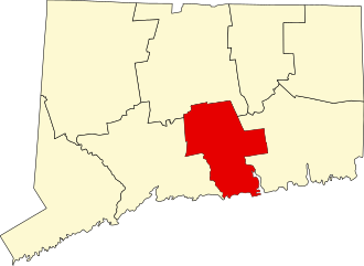
69 acres in East Haddam, CT

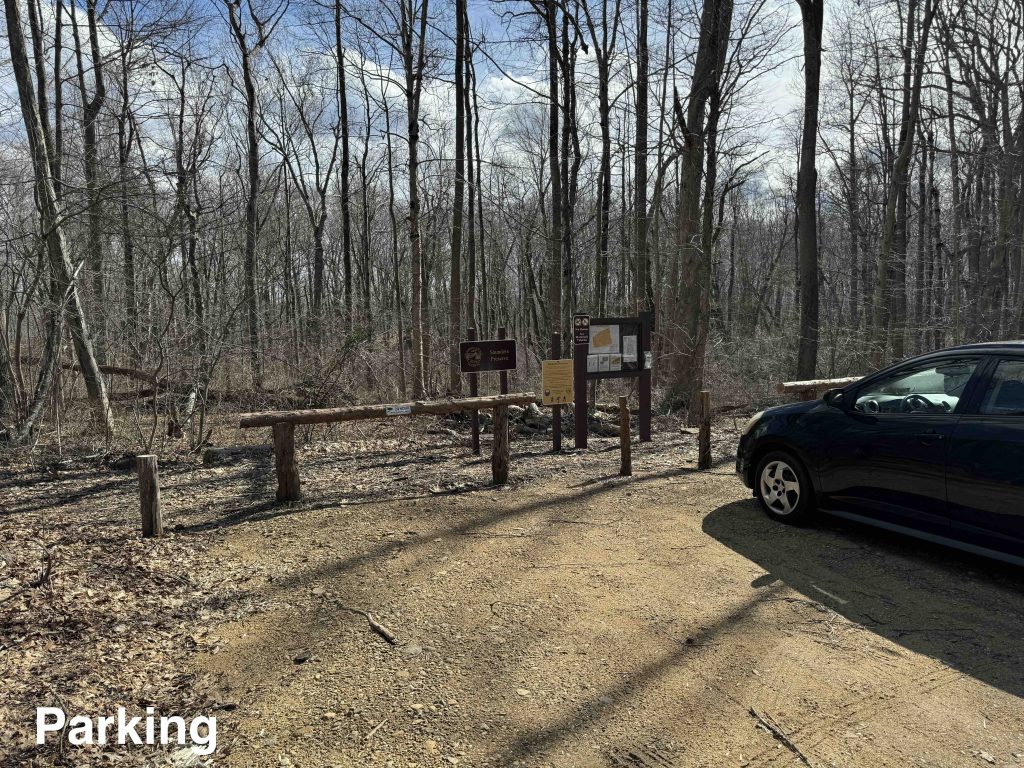
Parking: Small pull-off near 103 Honey Hill Rd, East Haddam, CT

Trail Map       Trails: 2 miles  Rating: ★★☆☆☆


Hiking

The Saunders Preserve is a nice double loop that can be accessed from either side.  I started on the north end off Honey Hill Road taking the trail to the left to hike clockwise.  The trail works over some rocky ledges typical of this part of the state before curving at stonewalls along the property’s edge.

As you come upon the orange blazed east connector you pass by several tubes of fencing that a sign describes as an oak caging project in response to beech leaf disease which I’ve been seeing across the state over the last year.  A nematode attacks the beech leaves causing them to be stunted or die completely.  The land trust has planted many young oak trees to utilize the extra sunlight left by the the lack of beech.

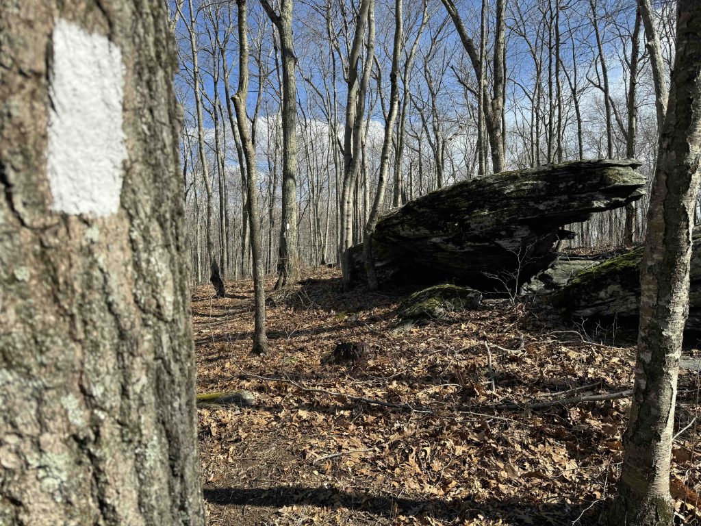
On the red trail I noticed a large erratic perched a top a hill off among the trees.  It kept drawing my eye as the trail curved around it and lo and behold there is a white blazed spur loop that crosses right past it!

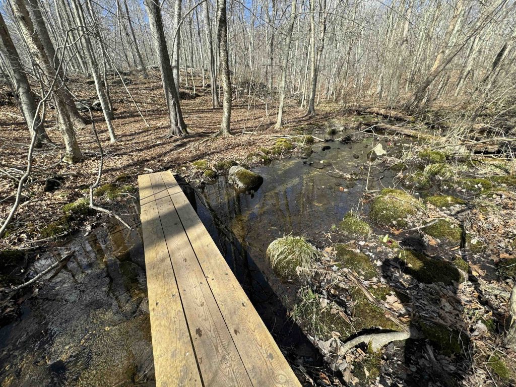
I soon reached the ‘pedestrian access point’ at the sound side of the preserve (it could feasibly hold a car but isn’t a designated parking area) and then crossed a small bridge over a marshy outflow.  The red trail looped back along the low side of this long line of rocky ridge and I hopped onto the green connector.   Working back uphill through the rocks and over more rocky terrain brought me back to the parking area.

I was also surprised to learn that the property had been only acquired the previous year for how well established the trails seemed.  Either it is very popular, the trails predate the land trusts acquisition, or the land trust just did a great job setting them.

History:

The East Haddam Land Trust acquired the Saunders Preserve in 2023 from the family of John and Diana Saunders.


Links:

The information shown here is for general reference purposes only. exploreCT.org gives no warranty, expressed or implied, as to the accuracy or reliability of this data. Parking in all areas, whether designated here or not, is at your own risk. exploreCT.org is not responsible for any damage or loss to vehicles or contents.
Last updated March 17th, 2024

Visited 445 times, 2 Visits today

Related Listings

Tinkerville Brook

★★☆☆☆

41.927542, -72.207901

Tinkerville Brook Joshua’s Trust Preserve 42 acres in Ashford, CT Parking: Small pull-off near 135 Armitage Rd, Ashford, CT Trail Map         Trails: 1.2 miles …

Avery Preserve

★★☆☆☆

41.454064, -72.046999

Avery Preserve Avalonia Land Conservancy 101.4 acres in Ledyard, CT Parking: Small lot near 55-35 Avery Hill Rd, Ledyard, CT Trail Map        Trails: 1.5 miles     …

Sunset Hill

★★☆☆☆

41.930942, -72.439089

Sunset Hill Northern Connecticut Land Trust 14 acres in Ellington, CT Parking: Park on the road between 151 and 153 Porter Rd, Ellington, CT Trail Map   …