Rocky Glen State Park

Connecticut State Park

46 acres in Newtown, CT

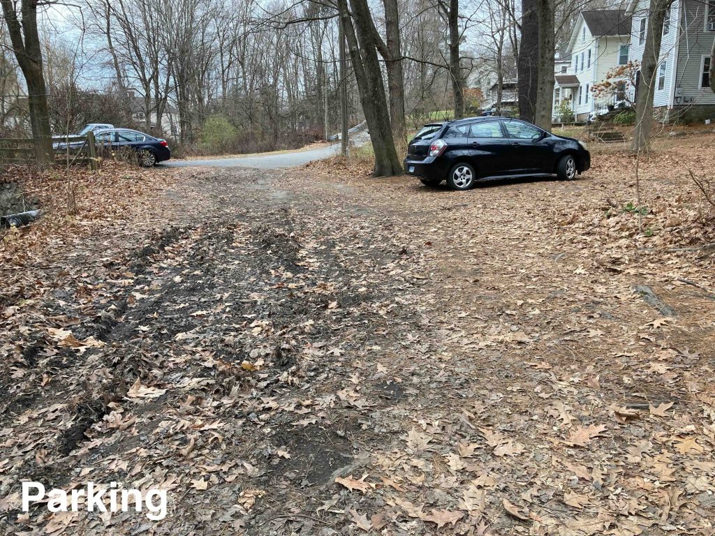
Parking: Small lot near 29 Dayton St, Sandy Hook, CT

Trail Map           Trails: 1.4 miles        Rating: ★★★☆☆


Rocky Glen State Park is one of Connecticut’s ‘scenic reserve‘ state parks which means it doesn’t get much investment but I’d highly encourage you to come hike the trails at this hidden gem of a state park.

Note: The trail map above is no longer accurate, it shows the trail heading off towards Walnut Hill Road and instead it now follows a ravine down to the follow the river to Black Bridge Road.

Hiking

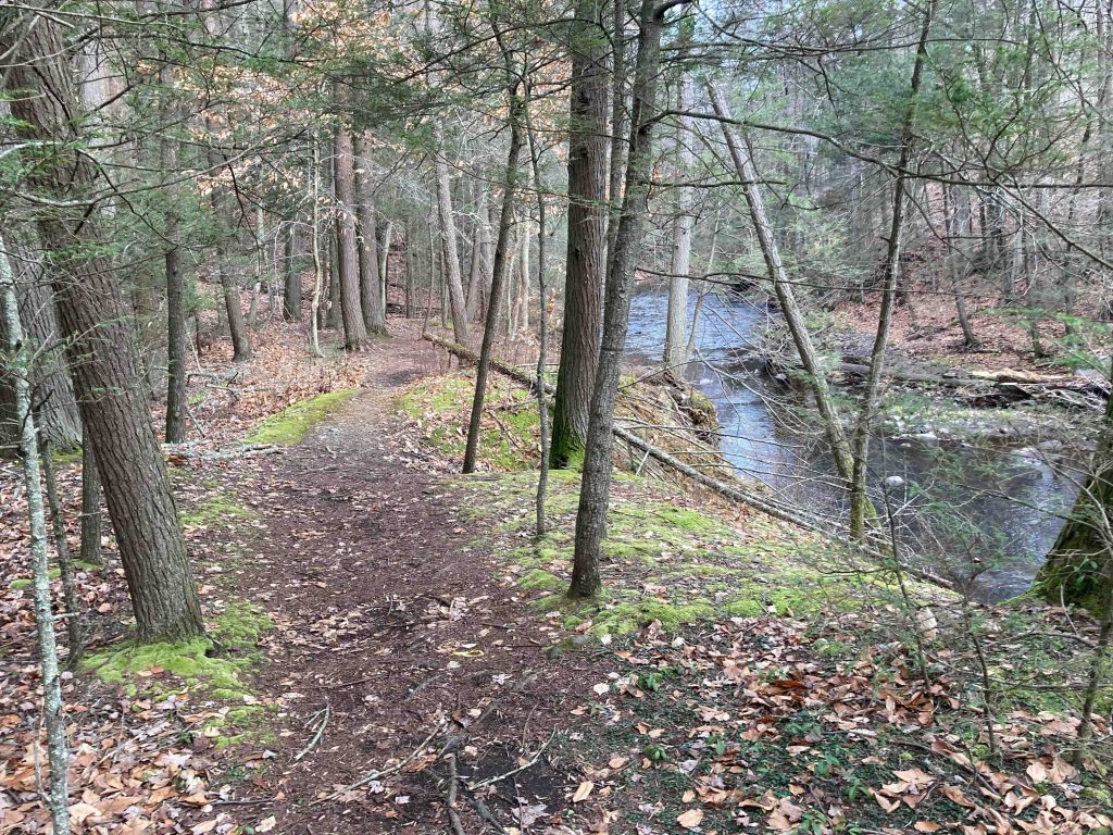
The parking area is at the end of a one lane road and is a muddy series of turnarounds.  I was the only one at the park despite a busy Sunday morning.  The yellow blazed trail heads off along the river climbing a small hill before quickly reaching the man made dam and falls of the former Fabric Fire Hose Company.  The falls were much more impressive than I expected from previous photos at a roaring scale.

The trail crosses a small brook and begins a steep to very steep climb up a rocky hill high above the river.  There is a narrow overlook here northeast down over the river and the abandoned Black Road Bridge.

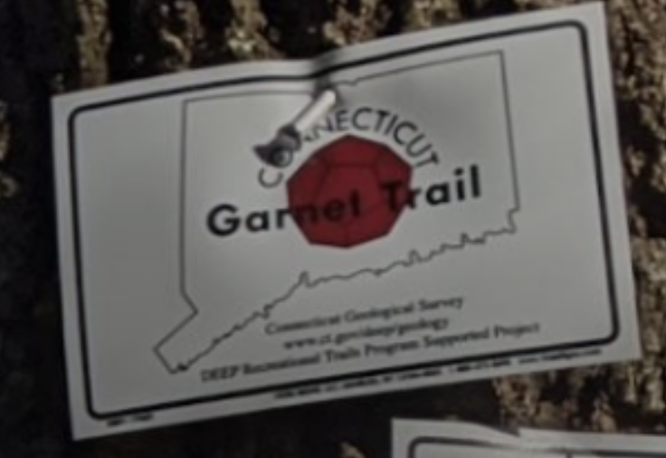
This trail was formerly part of the state’s Garnet Trail in the 2009 iteration and there are still a few markers on trees.  But the 2022 update no longer cites this trail and the previous guide has been lost to link rot.  Given the many stone outcrops I’m not surprised there are garnets here though casual inspection along the trail didn’t turn up any evidence.

The trail descends towards a steep ravine where a roped hand rail has been added to ease descent along another unnamed stream.  The trail bottoms out back along the Pootatuck River on an abandoned stretch of Black Bridge Road.  This stretch highlights the failed gold mining that occurred in the area along the massive cliff and rock slopes here.

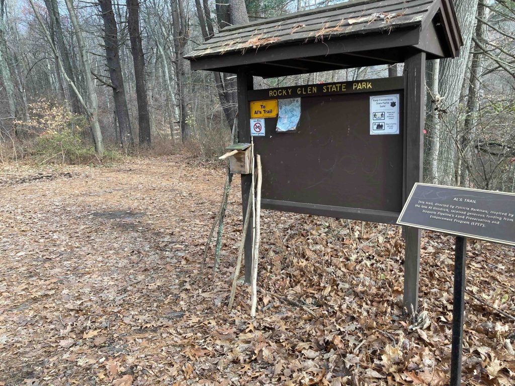
The trail eventually meets the active paved stretch of Black Bridge Road.  Al’s Trail continues north on a road walk towards the former McLaughlin Vineyards and eventually the Pootatuck State Forest.  I instead turned around and made my way back to the parking area.

History:

Established as a state park in 1931. Al’s Trail was developed through the park during 2002-4, though I’m not sure when the ravine reroute occurred.

The dam and waterfall were orginally built in 1850 by the Josiah Tomlinson and Charles Goodyear who had built a building for the Goodyear Rubber Packing Company along the river in 1846. The New York Bleting and Packing Co. bought the site when the previous owners faced bankruptcy.  They built a the four story brick building with a tower on the site in 1856 and operated until 1917. After that the site was purchased by the United States Rubber Company and leased to The Fabric Fire Hose Co. who pioneered the production of rubber products such as elevator belts and mailbags, after Charles Goodyear discovered the process of vulcanizing rubber to make it usable.  The company operated the building until 1977.  The former mill building also housed Stepstone the creators of the Objective-C programming language in the 1980s.

Blackwell’s Mine (near Black Bridge Road) was operated by Stanley Blackwell in the late 1700s.  A geologist exploring the quartz tunnel in 1834 found evidence of Fool’s Gold, but apparently (or likely due to) no large scale mining ever occurred here.


Links:

Peter Marteka – Crossing An Iron Bridge To The Gorgeous Wilds Of Rocky Glen (2017)

The information shown here is for general reference purposes only. exploreCT.org gives no warranty, expressed or implied, as to the accuracy or reliability of this data. Parking in all areas, whether designated here or not, is at your own risk. exploreCT.org is not responsible for any damage or loss to vehicles or contents.
Last updated November 27th, 2022

Visited 4171 times, 2 Visits today

Related Listings

Wangunk Meadows WMA

Unexplored

1346 Tryon St, South Glastonbury, CT

Wangunk Meadows Wildlife Management Area Connecticut Wildlife Management Area 637 acres in Portland, CT Parking: Small lot near 1346 Tryon St, South Glastonbury, CT Property Map   …

Nathaniel Lyon Memorial State Park

★★☆☆☆

41.847478, -72.083341

Nathaniel Lyon Memorial State Park Connecticut State Park 5 acres in Eastford, CT Parking:  Small lot along Kingsbury Rd Eastford, CT Trail Map        Trails:…

Dinosaur State Park

★★★☆☆

400 West St, Rocky Hill, CT 06067

Dinosaur State Park Connecticut State Park 80 acres in Rocky Hill, CT Parking: Large lot at 400 West St, Rocky Hill, CT Trail Map         …