Site logo
    • Explore
      • Blue-Blaze Trails
      • Land Trusts
      • State Parks and Forests
      • By Town
    • exploreCT+
      • Membership
      • Shop
      • Events
    • Blog
    • Town Guides
    Sign in or Register
    Listing cover image

    Quinnipiac River State Park

    • Trails
      2 miles
    • Rating
      ★★☆☆☆
    • Address
      8 Banton St, North Haven, CT 06473, USA
    • Explore
    • Trail Map
    • Reviews 0
    • New Page
    • prev
    • next
    • Bookmark
    • Share
    • Get directions
    • Report
    • prev
    • next
    At A Glance

    Connecticut State Park

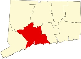
    323 acres in North Haven, CT

    Parking: Small lot near 10 Banton St, North Haven, CT

    Trail Map       Trails: 1.5 miles        Rating: ★★☆☆☆

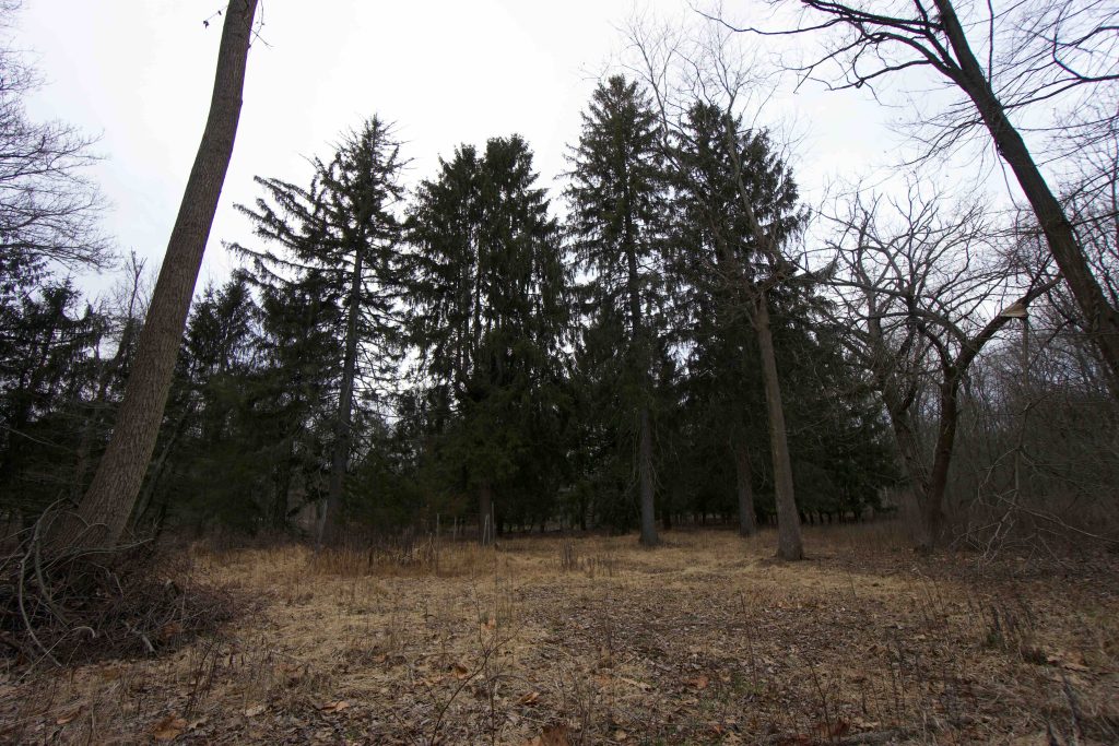
    Quinnipiac River State Park is odd and a bit mysterious. The park occupies land unused for the Wilbur Cross Parkway, amidst a settlement abandoned by flooding, trailed by ex-blue blaze Quinnipiac Trail.

    Hiking

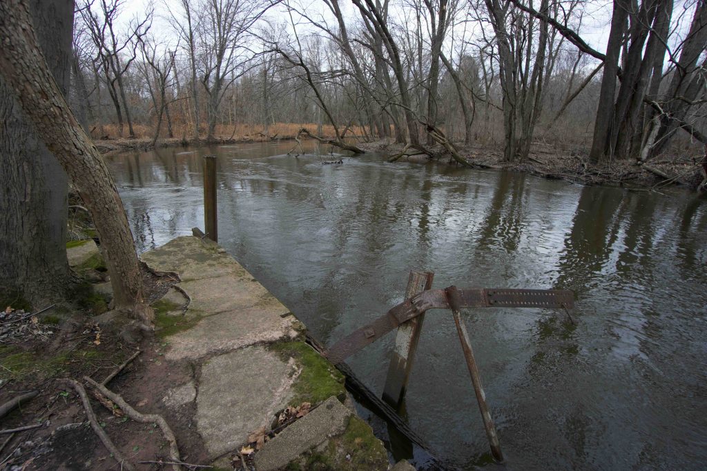
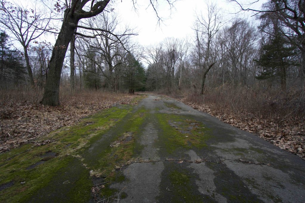
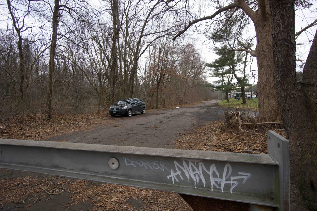
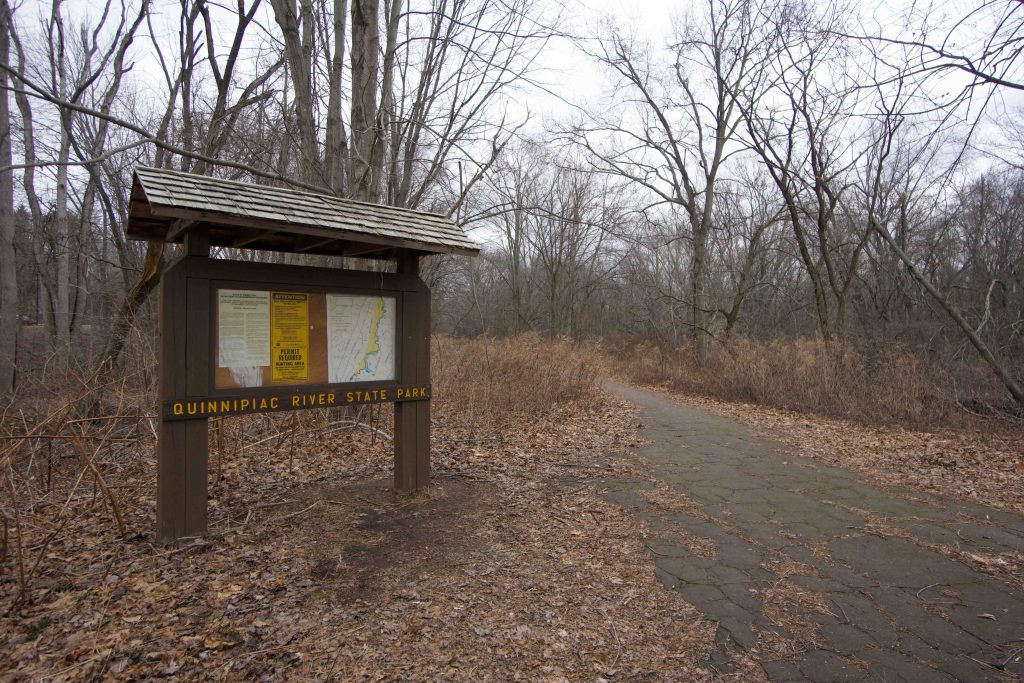
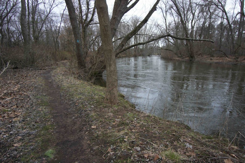
    I headed down the gated road that starts Quinnipiac River State Park on a cold January afternoon.  The road, which is an abandoned section of Banton Street, is slowly being reclaimed by nature and is covered in moss and substantial weeds in many areas even in winter.  The blue blazed trail splits off to the right after just 0.1 miles and winds a bit through some wet areas to the banks of the Quinnipiac River.  The river was swift flowing on my visit and the trail largely hugs the bank.

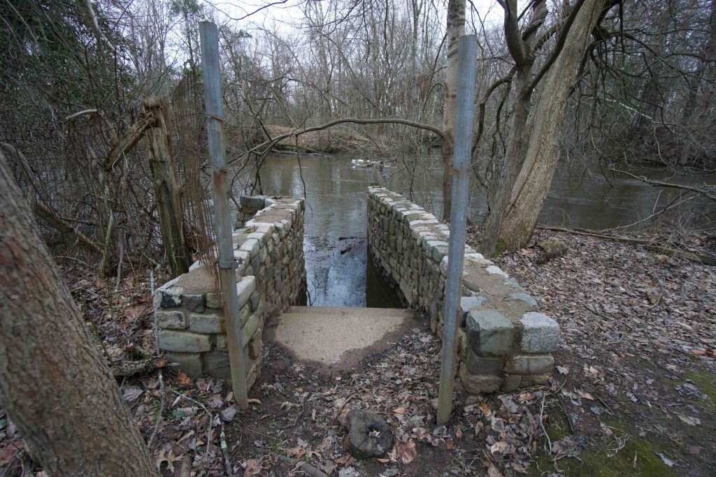
    This area was clearly developed with a riverside community that started in the 1920s.  There are old fences, foundations, and concrete slabs among the trees as well as piles of brick and seemingly out of place ornate steps down into the river.  The start purchased the land in the 1970s and tore down the houses.  I continued for about a third of mile along the trail until it started to get wet and flooded.  Others who have explored it in the past have had similar experiences pushing through overgrowth in summer and jumping streams year round.  I made it past the first few flooded areas and mud pits by pushing through the vegetation off the trail, but soon realized it would continue as far as I could see and turned around.  The trail used to continue for another 3 miles to Toelles Road as a section of the Quinnipiac Trail, but only the first mile is maintained likely because maintaining a trail in a floodplain is difficult.

    The second half of the ‘maintained’ trail was noticeably less (I only made it another .2) and the main turnaround point seems to be adjacent to where the paved roadway ends on the trail map.  I followed the roadway through a small pine nursery back to the parking noting several nice newly placed benches.

    History

    Established as a state park in 1948.

    Links

    The A to Z of Connecticut State Parks – Quinnipiac River State Park (2016)

    Connecticut Explorer – Quinnipiac River State Park (2014)

    Tags
    • ★★☆☆☆
    • 2020
    • Explored
    • New Haven County
    • Quinnipiac River
    • State Park
    • Ruins
    Last Updated

    The information shown here is for general reference purposes only. exploreCT.org gives no warranty, expressed or implied, as to the accuracy or reliability of this data. Parking in all areas, whether designated here or not, is at your own risk. exploreCT.org is not responsible for any damage or loss to vehicles or contents. Last updated January 27th, 2020

    Trail Map
    Location
    • 8 Banton St, North Haven, CT 06473, USA

      Get Directions
    Gallery
    Categories
    • Hiking
    Gallery
  • No comments yet.
  • Add a review

    Leave a Reply · Cancel reply

    You must be logged in to post a comment.

    You May Also Be Interested In

    Spruce Brook Falls

    • ★★★★★
    • 16 miles
    Featured
    FW6F+CW Beacon Falls
    • Quick view
    • Bookmark

    Candlewood Hill WMA

    • Unexplored
    • 17 miles
    1500 Gold Star Hwy
    • Quick view
    • Bookmark

    Bayberry Lane Boat Launch

    • Unexplored
    150 Bayberry Ln
    • Quick view
    • Bookmark

    Hi, I’m Matt.

    I’m building ExploreCT to be the guide for all your outdoor adventures. All the trails, views, and waterways this great state has to offer.

    Now get out and explore!

    Monthly Newsletter

    Each month I share site updates or an interesting article in my newsletter. It’s short, sweet, and practical.

    600+ explorers read it, I’d love for you to join.

    Thank you!

    You have successfully joined our subscriber list.

    X-twitter Youtube Envelope Instagram

    Cart

      • Facebook
      • X
      • WhatsApp
      • Telegram
      • LinkedIn
      • Tumblr
      • Reddit
      • VKontakte
      • Mail
      • Copy link
      • Share via...
      • Threads
      • Bluesky