Site logo
    • Explore
      • Blue-Blaze Trails
      • Land Trusts
      • State Parks and Forests
      • By Town
    • exploreCT+
      • Membership
      • Shop
      • Events
    • Blog
    • Town Guides
    Sign in
    Listing cover image

    Perry Natural Area

    • Trails
      2 miles
    • Rating
      ★★☆☆☆
    • Address
      476 North Anguilla Road, North Stonington, CT, USA
    • Explore
    • Trail Map
    • New Page
    • prev
    • next
    • Share
    • Get directions
    • Report
    • prev
    • next
    At A Glance

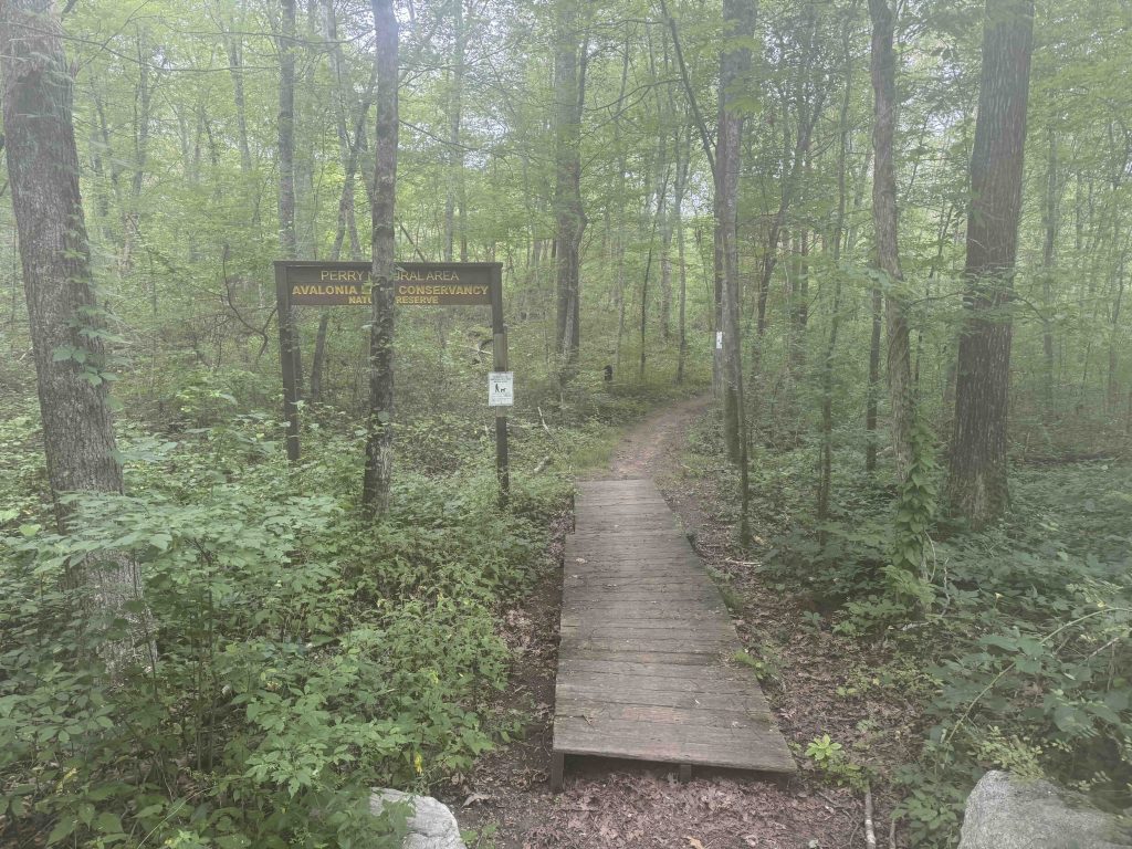
    Avalonia Land Conservancy

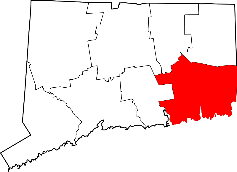
    68.2 acres in Stonington, CT

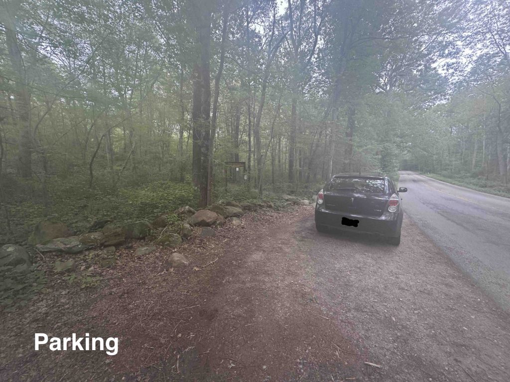
    Parking: Shoulder parking near 472 N Anguilla Rd, Pawcatuck, CT

    Trail Map         Trails: 2 miles        Rating: ★★☆☆☆

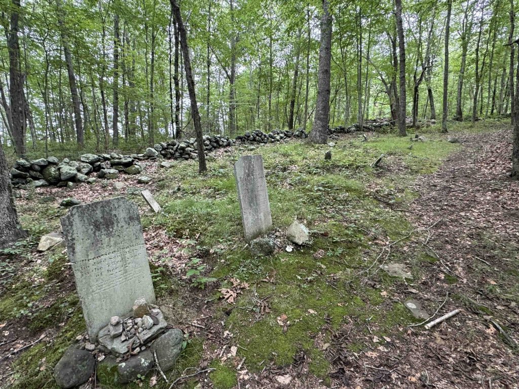
    This property of dense understory and heavy stone walls right at the border of town features an old cemetery and several mysterious rock piles.

    Hiking

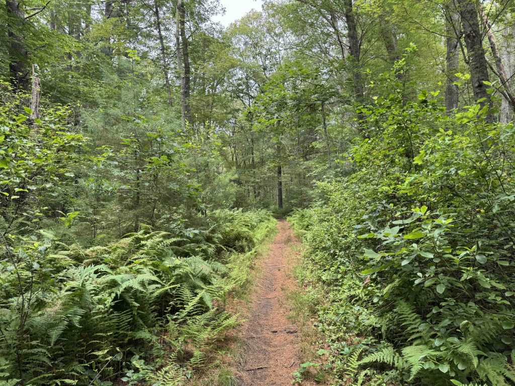
    From the pull-off on North Anguillla Road the main line blue blazed trail heads gradually uphill.  I soon jumped off onto the white trail seems like a frequently wet area before climbing a bit.  The land opens up among the trees and the trail passes through some rolling terrain bisected by stonewalls.

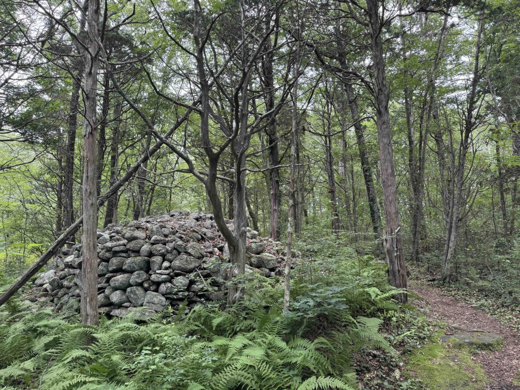
    Once on the gray trail (which, if blazed trail, blends in with every tree) the dense understory returned and you got some road noise from I-95. I turned a bend in a trail and came upon a massive pile of stones, likely 6ft high and a dozen across, several others are noted on the map at the trailhead. My assumption is that when this area was farmed the rocks were piled into the many stonewalls and because they were so plentiful, piles too. At the backside of the loop is the old Brown-Coggswell Cemetery with about 10 headstones.  The two largest date back to the 1840s and the smaller ones are as early at 1729.

    From here I followed the narrow but well-traveled blue trail back to the parking area.

    History

    Preserved in 1982.

    Tags
    • ★★☆☆☆
    • Explored
    • 2025
    • Stonington
    • New London County
    • Avalonia Land Conservancy
    Last Updated

    July 14th, 2025. The information shown here is for general reference purposes only. exploreCT.org gives no warranty, expressed or implied, as to the accuracy or reliability of this data. Parking in all areas, whether designated here or not, is at your own risk. exploreCT.org is not responsible for any damage or loss to vehicles or contents.

    Trail Map
    Location
    • 476 North Anguilla Road, North Stonington, CT, USA

      Get Directions
    Gallery
    Categories
    • Hiking
    Gallery

    You May Also Be Interested In

    Spruce Brook Falls

    • ★★★★★
    • 16 miles
    Featured
    FW6F+CW Beacon Falls
    • Quick view
    • Bookmark

    Mary Anne Guitar Preserve

    • Unexplored
    • 2.8 miles
    12 Old Mailcoach Rd
    • Quick view
    • Bookmark

    McCormack Preserve

    • Unexplored
    • 3.5 miles
    1 George Hull Hill Rd
    • Quick view
    • Bookmark

    Hi, I’m Matt.

    I’m building ExploreCT to be the guide for all your outdoor adventures. All the trails, views, and waterways this great state has to offer.

    Now get out and explore!

    Monthly Newsletter

    Each month I share site updates or an interesting article in my newsletter. It’s short, sweet, and practical.

    600+ explorers read it, I’d love for you to join.

    Thank you!

    You have successfully joined our subscriber list.

    X-twitter Youtube Envelope Instagram

    Cart

      • Facebook
      • X
      • WhatsApp
      • Telegram
      • LinkedIn
      • Tumblr
      • Reddit
      • VKontakte
      • Mail
      • Copy link
      • Share via...
      • Threads
      • Bluesky