Pequot Trail – North Terminus at Hellgate
in Preston, CT
Parking:
- North End – CFPA claims space for 2 cars near 78 CT-165, Preston, CT but driveway has a ‘No Parking Sign’ most people park 700ft down the road at the Cavalry Baptist Church
- South End – Shoulder parking on Rt. 2 or at the dead end of Lincoln Park Rd
Trail Map Trails: 3.5 miles Rating: ★★★☆☆
The 3.5 mile section is the Northern Terminus of the 8 mile blue blaze Pequot Trail. I’m going to repeat the note in parking above: CFPA claims space for 2 cars near 78 CT-165, Preston, CT but the driveway has a ‘No Parking Sign’ so most people park 700ft down the road at the Cavalry Baptist Church.
Hiking
Hop the guard rail and down the forested bank to the utility corridor to kick off the north end of the Pequot Trail. This trail zigs and zags under the power lines making use of maintenance roads and old cart paths. While some may not like hiking the corridor I think it was well done, making use of features to keep it interesting. Certainly better hiking that the road walk in the southern half of the trail.
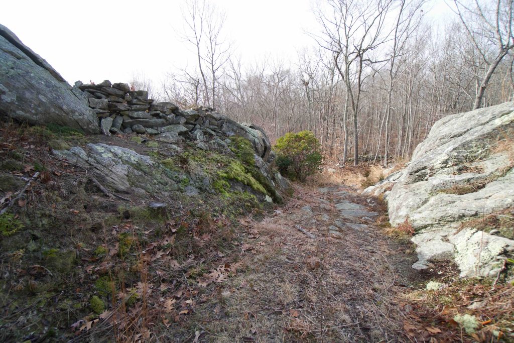
The highlights include a small cascade below a collapsed bridge, an abandoned car, and the mystery of Hellgate. The three are in the first 1.5 miles. Hellgate (there are a couple things in this area with the name) is a narrow rock gap on an old woods road that apparently dates back to colonial times however the reason for the name isn’t definite. The trail actually climbs up the rocks here to continue through a steep hilly section.
The trail is well blazed, but in a few places the blazed trail diverges from the main path so if you go a few hundred feet without see another blaze return to the last one you saw and usually there is a smaller path on one side or the other to continue.
At around 3 miles you start to hear Rt. 2 in the distance and a couple small hills later you’ll reach it. The trail continues left along the road.
Next Section: Cross Rt. 2 for a 0.7 mile road walk on Lincoln Park Rd
History:
The most common story for the name Hellgate is that this narrow pass was along a main route at the time but since it was hell to navigate through it acquired the lasting name and reputation.
Links:
Peter Huoppi – Hiking Guide: A ramble along Pequot Trail (paywall)
Connecticut Explorer – Pequot Blue Blazed Hiking Trail
The information shown here is for general reference purposes only. exploreCT.org gives no warranty, expressed or implied, as to the accuracy or reliability of this data. Parking in all areas, whether designated here or not, is at your own risk. exploreCT.org is not responsible for any damage or loss to vehicles or contents.
Last updated January 1st, 2021
Visited 2067 times, 1 Visits today