PeGus’s Path Preserve​

East Haddam Land Trust

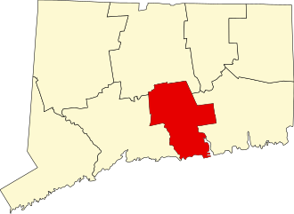
12.5 acres in East Haddam, CT

Parking: Shoulder parking near 31 Sims Rd, East Haddam, CT

Trail Map        Trails: 0.8 miles       Rating: ★★☆☆☆

Screenshot


This preserve named for Peg and Gus Carlson starts off the dirt Sims Lane to climb the hills to the east for short wooded loop options.

Hiking

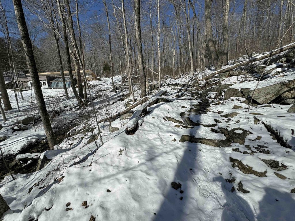
I missed the first trailhead driving to the end of Sims Lane and starting on the far end of the blue trail.  The start is a rocky wet climb up what is most likely and old continuation of the road long since abandoned.  There is a great view of an earthship off on private property.

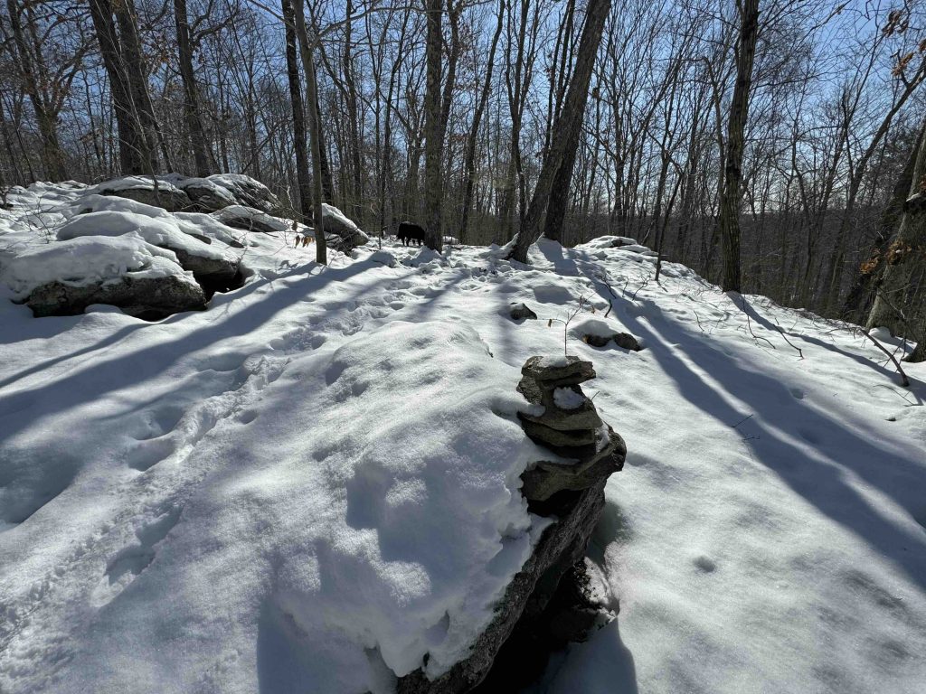
The trail turns to the right uphill crossing a small stream and continues uphill.  After working across the rocky ledges the red loop continues off to the east.  Following the hill it returns along old stonewalls.

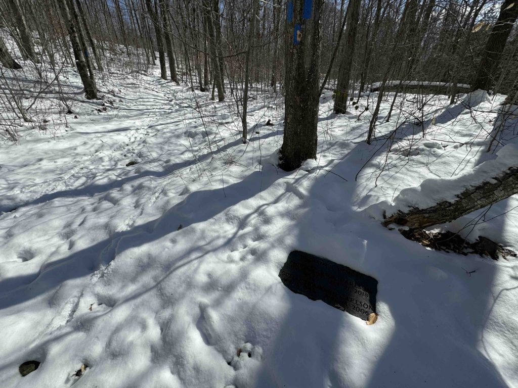
I returned along the white trail.  There is a small memorial plaque where the blue and white trails meet.

History:


Links:

The information shown here is for general reference purposes only. exploreCT.org gives no warranty, expressed or implied, as to the accuracy or reliability of this data. Parking in all areas, whether designated here or not, is at your own risk. exploreCT.org is not responsible for any damage or loss to vehicles or contents.

Visited 351 times, 1 Visits today

Related Listings

McCann Family Farm

★★★☆☆

734 Main St, Somers, CT 06071, USA

McCann Family Farm Northern CT Land Trust 84 acres in Somers, CT Parking: Medium sized lot near 734 Main St, Somers, CT Trail Map       …

Risley Park

★★★☆☆

41.801953, -72.470323

John S. Risley Park Manchester Land Conservation Trust and CFPA Blue Blaze Trail 180 acres in Vernon, Bolton, Manchester, CT Parking: Medium sized lot near 366 Lake…

Kongscut Mountain

★★★☆☆

887 Goodale Hill Rd, Glastonbury, CT

Kongscut Mountain / Phillips Cave Loop Connecticut State Forest 1,100 acres in Glastonbury, CT Parking: Small pull of near 887 Goodale Hill Rd, Glastonbury, CT Trail Map …