Site logo
    • Explore
      • Blue-Blaze Trails
      • Land Trusts
      • State Parks and Forests
      • By Town
    • exploreCT+
      • Membership
      • Shop
      • Events
    • Blog
    • Town Guides
    Sign in or Register
    Listing cover image

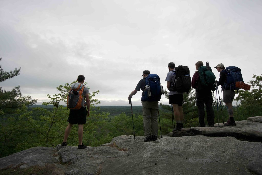
    Pachaug: Mt Misery & Rhododendron Sanctuary

    • Trails
      6 miles
    • Rating
      ★★★☆☆
    • Address
      H4VJ+HQ Rhododendron Sanctuary Trailhead, Voluntown, CT 06384, USA
    • Explore
    • Trail Map
    • Reviews 0
    • New Page
    • prev
    • next
    • Bookmark
    • Share
    • Get directions
    • Report
    • prev
    • next
    At A Glance

    Pachaug State Forest: Chapman Area

    Mt. Misery & Rhododendron Sanctuary

    Connecticut State Forest

    acres in Voluntown, CT

    Parking: Small lot near Cutoff Rd, Voluntown, CT

    Trail Map               Trails: 6.4 miles           Rating: ★★★☆☆

    Hiking

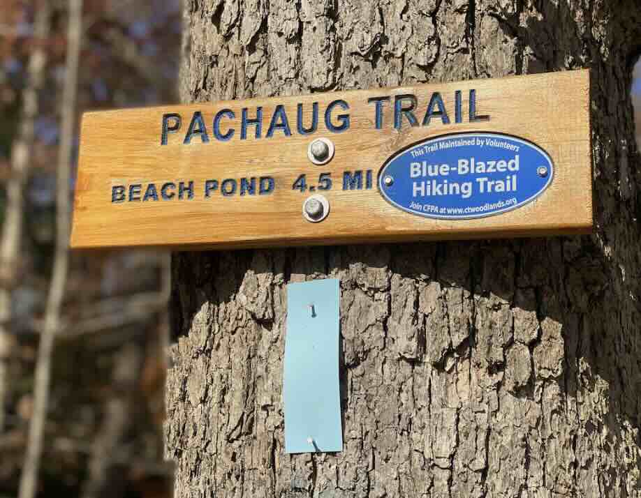
    Pachaug Trail – 3.75 miles

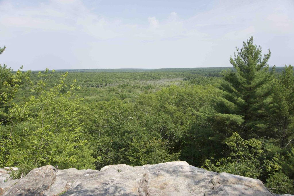
    • The trail is the southern terminus, navigating some deep woods to climb up and over Mt. Misery.

    Rhododendron Trail – 0.4 miles

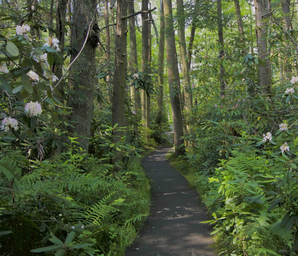
    • And short easy and flat trail that is the closest you’ll get to a jungle in Connecticut.  “The Rhododendron Sanctuary in Pachaug Forest is one of those rare, unique places that must be on the to-see list of anyone who loves the outdoors. It is one of the state’s eight National Natural Landmarks. It is set in the middle of Connecticut’s largest state forest. And the shrubs grow in the heart of a rare Atlantic white cedar swamp.”

    Nehantic Trail – 4.19 miles

    • Southern terminus
    Links

    Peter Marteka – A Sanctuary For Native Rhododendrons (2014)

    Tags
    • ★★★☆☆
    • 2019
    • 2024
    • Explored
    • Backpacking
    • Nehantic Trail
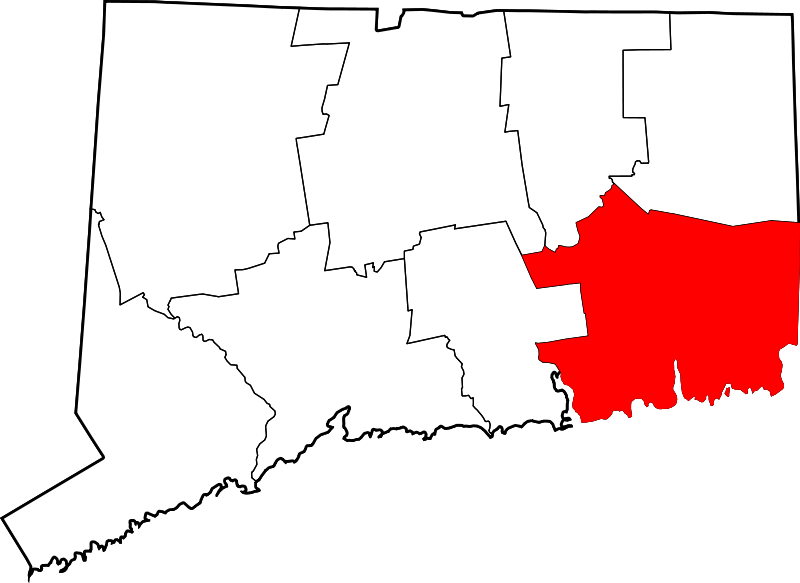
    • New London County
    • Overlooks
    • Peter Marteka
    • Pachaug State Forest
    • Pachaug Trail
    • Voluntown
    Last Updated

    The information shown here is for general reference purposes only. exploreCT.org gives no warranty, expressed or implied, as to the accuracy or reliability of this data. Parking in all areas, whether designated here or not, is at your own risk. exploreCT.org is not responsible for any damage or loss to vehicles or contents. Last updated June 2nd, 2019

    Trail Map
    Location
    • H4VJ+HQ Rhododendron Sanctuary Trailhead, Voluntown, CT 06384, USA

      Get Directions
    Gallery
    Categories
    • Hiking
    • Camping
    Gallery
  • No comments yet.
  • Add a review

    Leave a Reply · Cancel reply

    Your email address will not be published. Required fields are marked *

    Overall Rating

    You May Also Be Interested In

    Spruce Brook Falls

    • ★★★★★
    • 16 miles
    Featured
    FW6F+CW Beacon Falls
    • Quick view
    • Bookmark

    Thach Preserve

    • ★★☆☆☆
    • 1 miles
    123 Brush Hill Rd
    • Quick view
    • Bookmark

    Mendell's Folly

    • ★★★★☆
    • 3.8 miles
    390 Beacon Rd
    • Quick view
    • Bookmark

    Hi, I’m Matt.

    I’m building ExploreCT to be the guide for all your outdoor adventures. All the trails, views, and waterways this great state has to offer.

    Now get out and explore!

    Monthly Newsletter

    Each month I share site updates or an interesting article in my newsletter. It’s short, sweet, and practical.

    600+ explorers read it, I’d love for you to join.

    Thank you!

    You have successfully joined our subscriber list.

    X-twitter Youtube Envelope Instagram

    Cart

      • Facebook
      • X
      • WhatsApp
      • Telegram
      • LinkedIn
      • Tumblr
      • Reddit
      • VKontakte
      • Mail
      • Copy link
      • Share via...
      • Threads
      • Bluesky