Site logo
    • Explore
      • Blue-Blaze Trails
      • Land Trusts
      • State Parks and Forests
      • By Town
    • exploreCT+
      • Membership
      • Shop
      • Events
    • Blog
    • Town Guides
    Sign in or Register
    Listing cover image

    Oswegatchie Hills

    • Trails
      7 miles
    • Rating
      ★★★☆☆
    • Address
      8RR3+PF East Lyme, CT, USA
    • Explore
    • Trail Map
    • Reviews 0
    • New Page
    • prev
    • next
    • Bookmark
    • Share
    • Get directions
    • Report
    • prev
    • next
    At A Glance

    Non-profit Volunteer Organization Friends of the Oswegatchie Hills

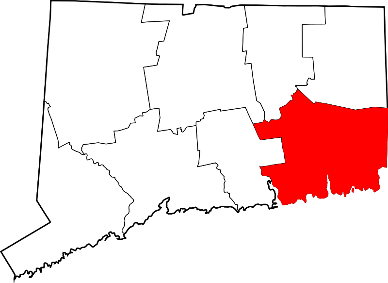
    457 acres in East Lyme, CT

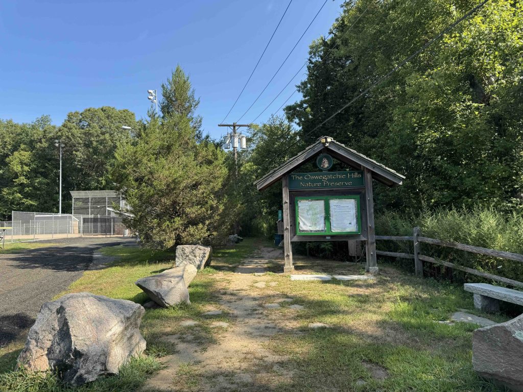
    Parking: Small lot at 98 Memorial Park Dr East Lyme, CT or small pull offs along Oswegatchie Hills Rd

    Trail Map          Trails: 6.5 miles       Rating: ★★★☆☆

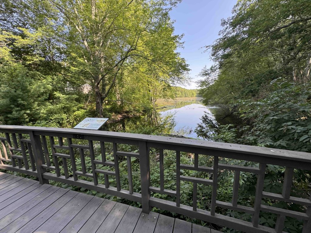
    The Oswegatchie Hills contain nearly 6.5 miles of trails.  The main points of interest include the Smith Cove Overlook (seasonal), the granite quarry, and vistas along Clark Pond.  From the Friends of Oswegatchie Hills site,

    “The Oswegatchie Hills Nature Preserve is largely comprised of two major rock ridges that run north and south parallel to the Niantic River…  In between the ridges is the ravine or lowlands gouged out by glaciers; much of this lowland is wet, starting with Clark Pond in the south and the stream and wetlands to the north that feed into it.”

    The organization is also promoting the growth of the rare pitch pine habitat.  They have created a nursery on under utilized town land nearby with the hope of transplanting the young trees to existing stands on the preserve.  Volunteers also hope to add an adjoining 236 acres of coastal forest to the preserve.

    Hiking

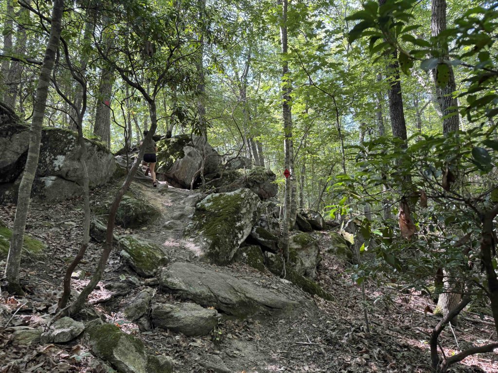
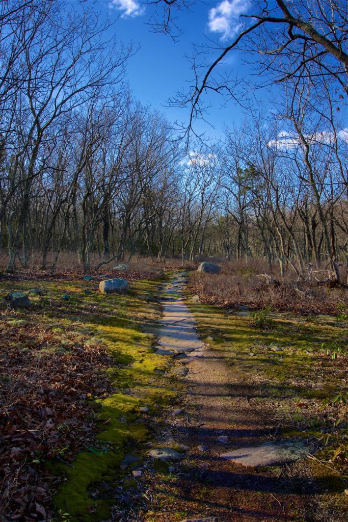
    The trails here are well marked and cross through the varied terrain of the property.  The main blue trails and the orange trail seem to roughly follow the two ridgelines with short connectors between.  The cove overlook is well treed, but does provide some view of Smith Cove and the private property in between.

    The granite quarry is a large open rock slope roughly descending southwest.  Other points of interest are Mt. Tabor (at around 280ft above sea level), a blink and you’ll miss it rock “cave”, and a tiny quartz pit.  The points of interest here seem to be grasping a bit, but the trails to them are a bit of an adventure themselves.  Further research into each should grow their appreciation.  The non-profit aims to add to the property size with a goal of 700+ acres.

    History

    Preserved in 2007.  The site doesn’t offer any easily found information on why the property is named Oswegatchie Hills.  I was able to find that the Oswegatchie people lived along what is now the northern border of New York and the word is guessed to be Iroquois for “going or coming around a hill”.  There is archaeological significance to the area, though information is sparse.

    Links

    Friends of the Oswegatchie Hills Nature Preserve (FOHNP) Official Site

    Peter Marteka – East Lyme Preserve Features Pink Granite Quarry, Gorgeous Overlooks (2010)

    Tags
    • ★★★☆☆
    • 2017
    • East Lyme
    • Explored
    • New London County
    • Peter Marteka
    Last Updated

    The information shown here is for general reference purposes only. exploreCT.org gives no warranty, expressed or implied, as to the accuracy or reliability of this data. Parking in all areas, whether designated here or not, is at your own risk. exploreCT.org is not responsible for any damage or loss to vehicles or contents. Last updated April 14th, 2017

    Trail Map
    Location
    • 8RR3+PF East Lyme, CT, USA

      Get Directions
    Gallery
    Categories
    • Hiking
    Gallery
  • No comments yet.
  • Add a review

    Leave a Reply · Cancel reply

    Your email address will not be published. Required fields are marked *

    Overall Rating

    You May Also Be Interested In

    Spruce Brook Falls

    • ★★★★★
    • 16 miles
    Featured
    FW6F+CW Beacon Falls
    • Quick view
    • Bookmark

    Arnold E. Holm Jr. Memoral Park

    • Unexplored
    • 0.3 miles
    37 Rope Ferry Rd
    • Quick view
    • Bookmark

    Camp Oakdale

    • Unexplored
    • 1.4 miles
    176 Meeting House Ln
    • Quick view
    • Bookmark

    Hi, I’m Matt.

    I’m building ExploreCT to be the guide for all your outdoor adventures. All the trails, views, and waterways this great state has to offer.

    Now get out and explore!

    Monthly Newsletter

    Each month I share site updates or an interesting article in my newsletter. It’s short, sweet, and practical.

    600+ explorers read it, I’d love for you to join.

    Thank you!

    You have successfully joined our subscriber list.

    X-twitter Youtube Envelope Instagram

    Cart

      • Facebook
      • X
      • WhatsApp
      • Telegram
      • LinkedIn
      • Tumblr
      • Reddit
      • VKontakte
      • Mail
      • Copy link
      • Share via...
      • Threads
      • Bluesky