Old Tolland Turnpike Pathway

Coventry Town Park

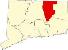
1 acre in Coventry, CT

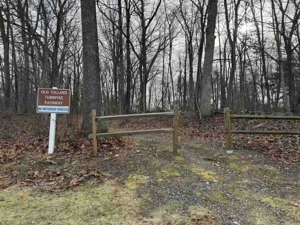
Parking: Shoulder parking near 584 Old Tolland Turnpike, Coventry, CT

Trail Map       Trails: 0.2 miles     Rating: ★☆☆☆☆


Hiking

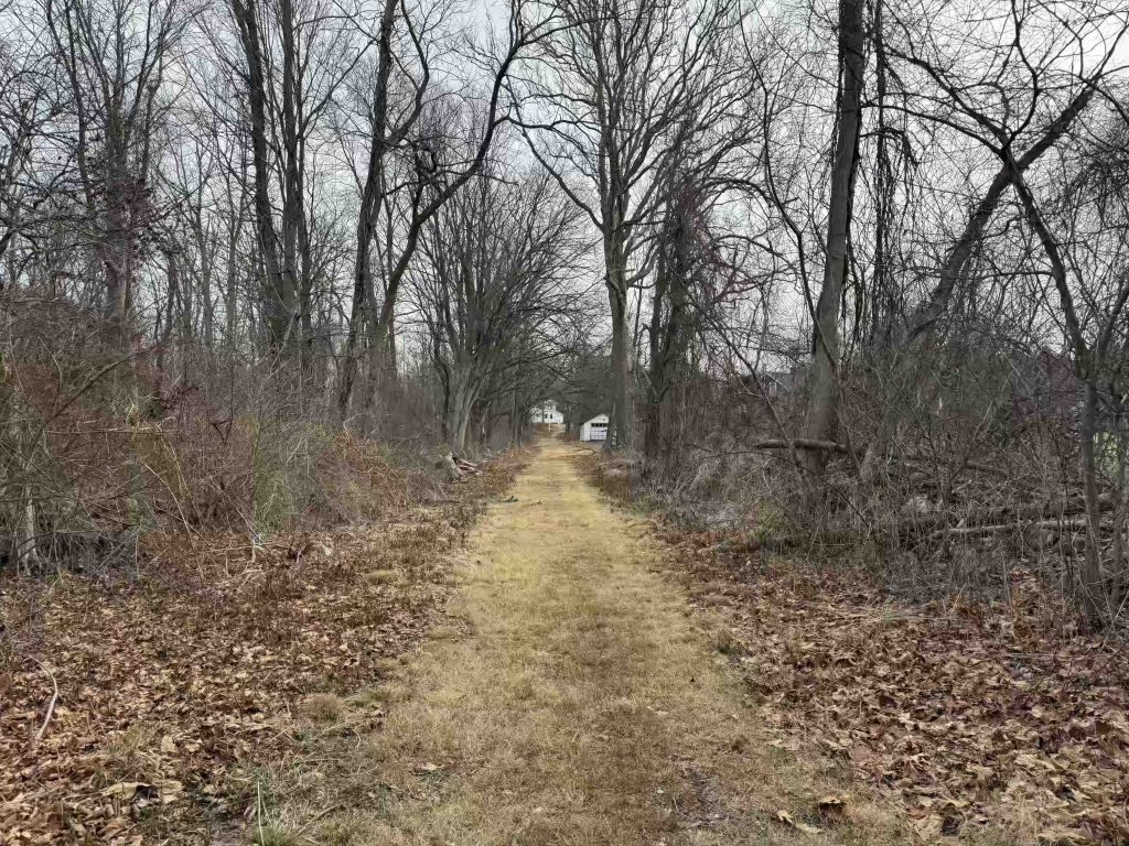
A short pathway does indeed exist here as an old town right of way for the Tolland Turnpike. I haven’t been able to uncover much yet about this road in Coventry, but it currently exists as a grassy path hemmed in by private property on all sides. It travels in almost a straight shot from Rt. 31 to Old Tolland Turnpike Road.

History
Links
The information shown here is for general reference purposes only. exploreCT.org gives no warranty, expressed or implied, as to the accuracy or reliability of this data. Parking in all areas, whether designated here or not, is at your own risk. exploreCT.org is not responsible for any damage or loss to vehicles or contents.
Last updated December 15th, 2024

Visited 9222 times, 2 Visits today

Related Listings

Bartlett’s Tower

★★☆☆☆

133 Mountain Rd, Tariffville, CT, USA

Bartlett’s Tower Connecticut State Property and Simsbury Town Property 87.8 acres in Bloomfield and Simsbury, CT Parking: Small pull-off near 133 Mountain Rd, Tariffville, CT Trail Map … Read more…

Nedweid Conservtion Area

★★☆☆☆

41.849579, -72.310807

Nedwied Conservation Area Tolland Conservation Area 15 acres in Tolland, CT Parking: Shoulder parking between 106 and 116 Fox Ridge Lane Tolland, CT Trail Map       …

Addison Bog

★★☆☆☆

216 Addison Road, Glastonbury, CT 06033, USA

Addison Bog, Smith Multi-Use Trail, Bell-Hebron Linear Park Glastonbury Town Park 198 acres in Glastonbury, CT Parking: Mediums sized lots near 216 Addison Road Glastonbury, CT 06033…