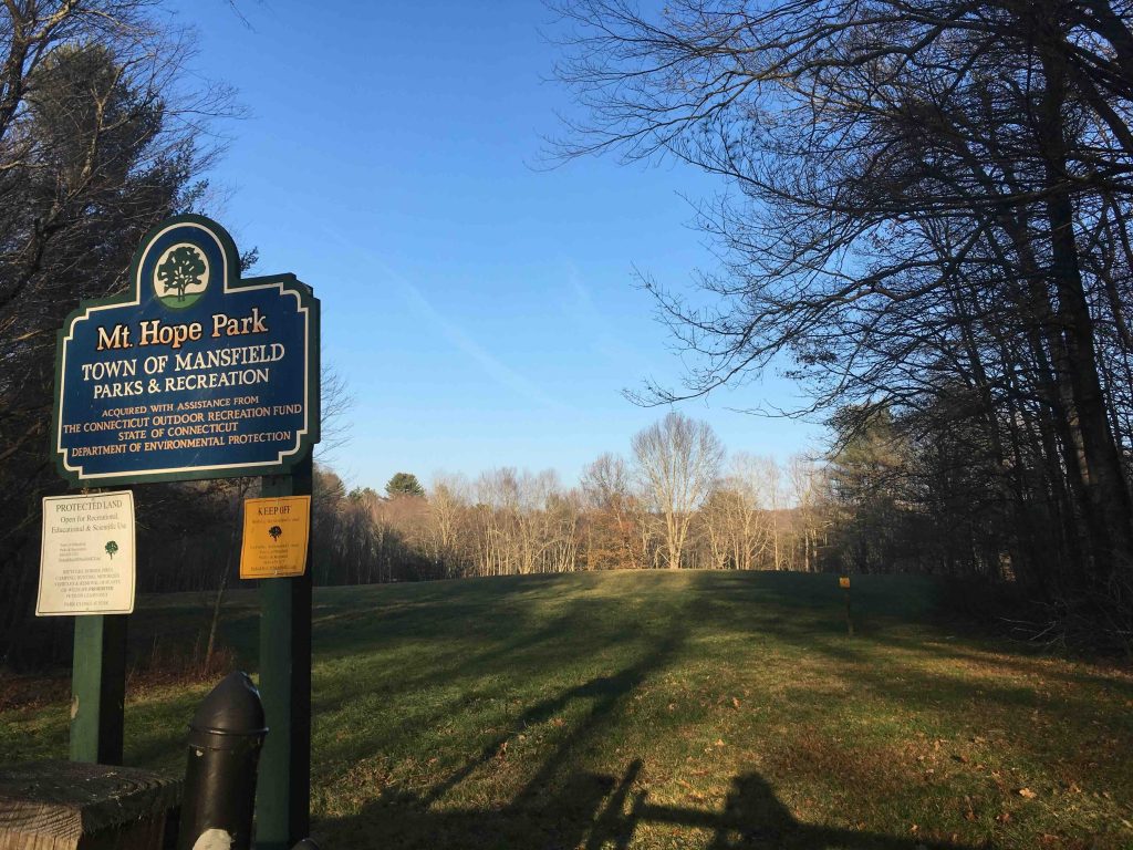
Mt. Hope Park

Mansfield Town Park

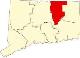
35 acres in Mansfield, CT

Parking: Medium sized lot near 652 Warrenville Rd Mansfield, CT

Trail Map          Trails: 1 mile      Rating: ★★☆☆☆


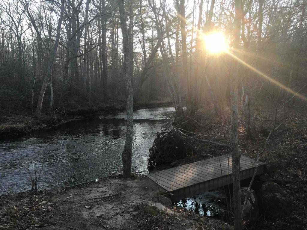
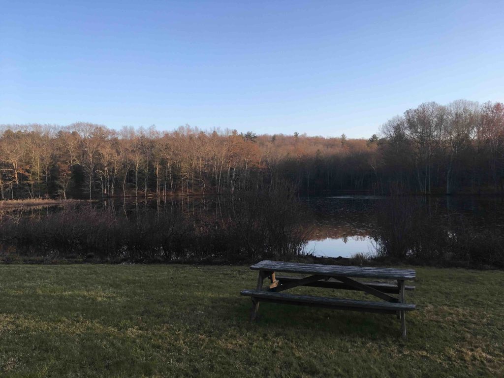
Mt. Hope is a small town park and active agricultural field.  There are 1.06 miles of trails here circumnavigating the open fields.  The trail is white blazed with occasional directional arrows leading through second growth woodland to the banks of the Mt. Hope River and an esker along an unnamed pond that features a beaver lodge and their extensive work. 

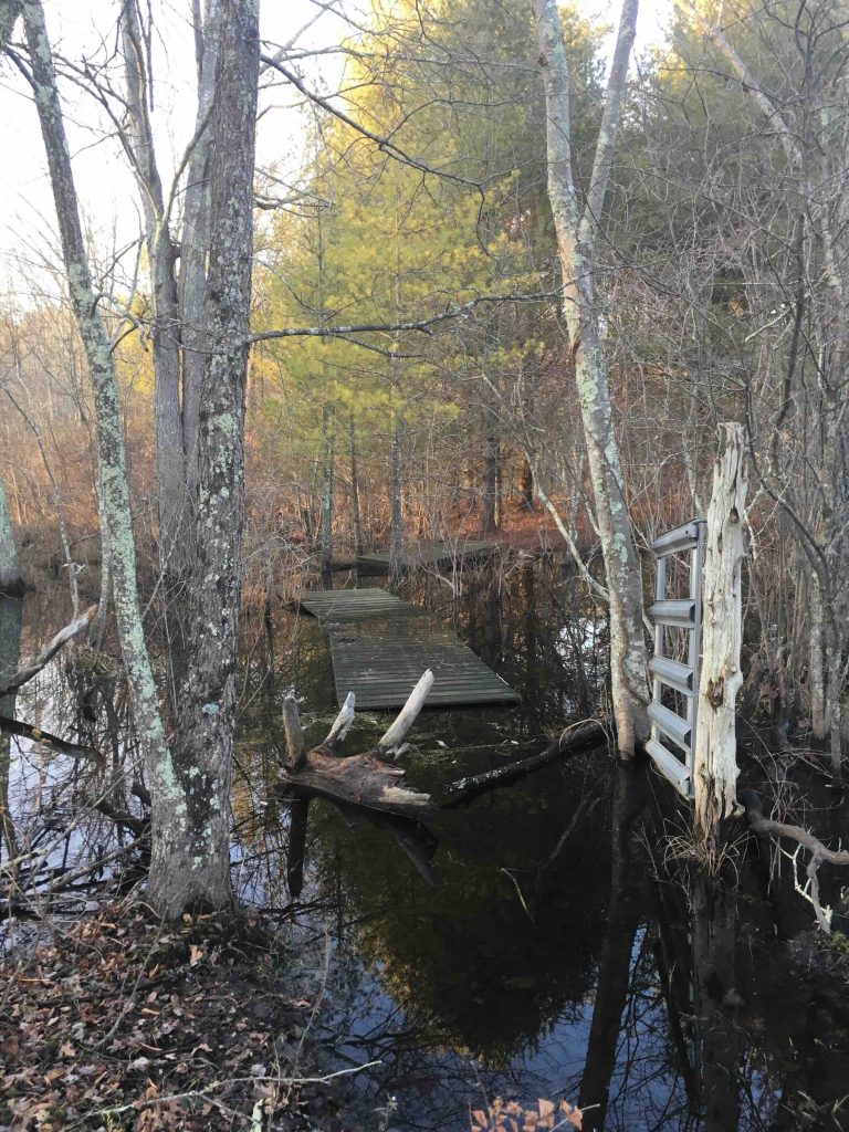
To foil the beavers the town installed a caged outflow drain pipe. Despite this, the water here has risen and now permanently blocks access to a wetlands boardwalk section of the trail.  Instead, hikers walk along the edges of the fields back to the parking lot.

You can however reach the other end of the missing section through the northern entrance to the white loop.  This part of the trail passes the remnants of a dairy barn before heading into a meadow. The former grazing land is currently a large and well-maintained picnic area. 

Further evidence of Mt. Hope’s former use as a farm includes a tree nursery where dogwoods and Bradford Pear flower in the spring.  At a casual walk, this property takes only a half hour to walk, but many stops along the trail are worth taking in.

History:

Per the town brochure, “The town acquired Mt. Hope Park in 1999 with assistance from the CT DEEP’s Open Space Watershed and Land Acquisition Grant Program.  The park is part of an old riverside farm dating back to the late 1700’s.


Links:

 Peter Marteka – A Summer Visit To A Hopeful River In Mansfield (2016)

The information shown here is for general reference purposes only. exploreCT.org gives no warranty, expressed or implied, as to the accuracy or reliability of this data. Parking in all areas, whether designated here or not, is at your own risk. exploreCT.org is not responsible for any damage or loss to vehicles or contents.
Last updated March 30th, 2020

Visited 2779 times, 3 Visits today

Related Listings

Shoddy Mill Preserve

★★☆☆☆

111 Shoddy Mill Road, Glastonbury, CT, USA

Shoddy Mill Preserve Glastonbury Town Park 77 acres in Glastonbury, CT Parking: Shoulder parking near 111 Shoddy Mill Road Glastonbury, CT Trail Map         …

Hartman Park

★★★☆☆

41.426842, -72.286704

Hartman Park Lyme Town Park / Lyme Land Trust 302 acres in Lyme, CT Parking: Small lot near 122 Gungy Rd, Lyme, CT Trail Map     …

Luce Conservation Area

★★☆☆☆

41.88941,-72.35120

C. W. Luce Conservation Area Tolland Town Park 83.3 acres in Tolland, CT Parking: Cul-de-sac near 99 Susan Drive Tolland, CT Trail Map          Trails: 1.5…