Meadow Brook WMA

Connecticut Wildlife Management Area

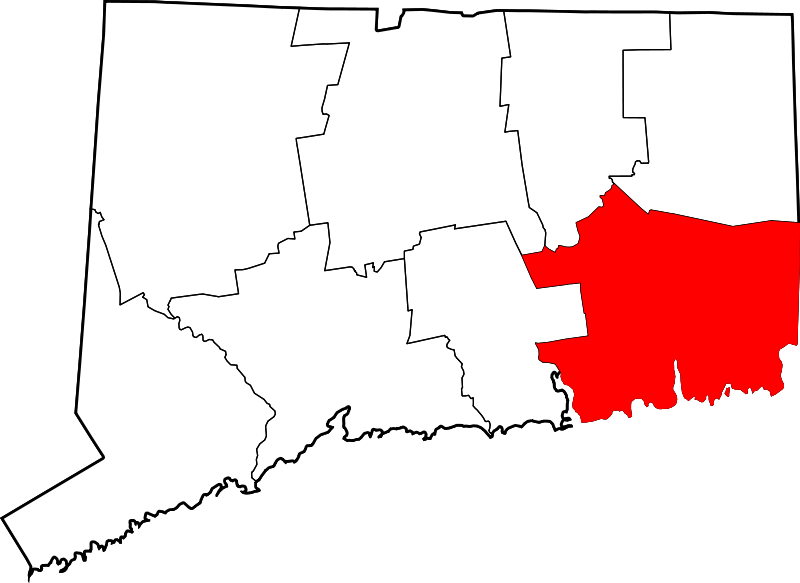
269 acres in Colchester, CT

Parking: Small lot near 13 Prospect Hill Road, Colchester, CT

Map         Trails: 2 miles        Rating: ★☆☆☆☆


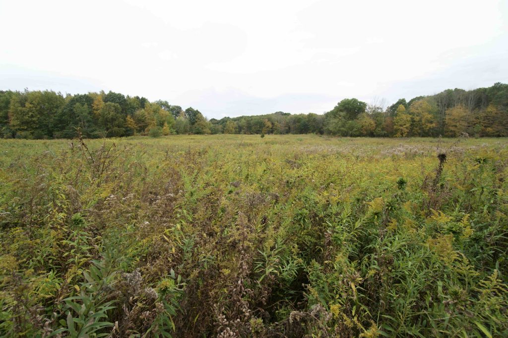
Meadow Brook is one of Connecticut’s wildlife management areas which are preserved and managed mainly for habitat and hunting.  In Meadow Brook’s case the open fields are considered an endangered habitat and are rapidly declining due to forest succession, loss of farmland, and development.  Caution should be taken here as the property is likely more popular with hunters than with hikers

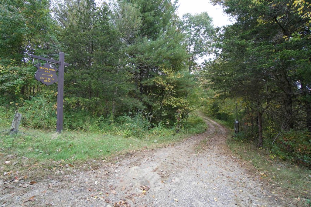
The trails here, like many other WMAs, are really access roads for managing the landscape.  Starting past the gate they head uphill through an open field filled with milkweed.  They curved through a line of trees to a second field and then follow and old farm road up another gradual hill between stone walls.

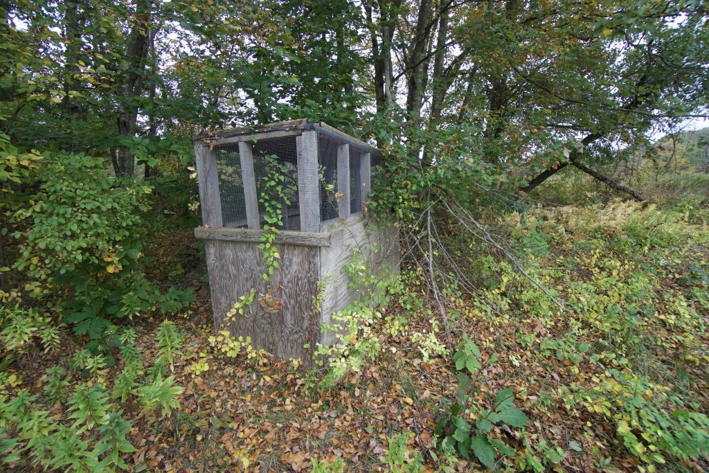
When this land was farmed it was likely a good view from the crest of the hill, today it is fields of goldenrod to the treeline.  A small empty hutch is set off amongst the trees and seems to be in too good a shape to have been since in the woods all this time.

There are five total fields each with a mowed path around the border and one or more paths mowed through.  I hiked out to the back of the far to see what it looked like along the tree line and back to the parking area for a total of 1.5 miles.  If you were so inclined I’m sure you could walk the edge of each field for somewhere around 3 miles total.

History:


Links:

The information shown here is for general reference purposes only. exploreCT.org gives no warranty, expressed or implied, as to the accuracy or reliability of this data. Parking in all areas, whether designated here or not, is at your own risk. exploreCT.org is not responsible for any damage or loss to vehicles or contents.
Last updated October 2nd, 2020

Visited 2346 times, 2 Visits today

Related Listings

Bartlett Brook

★★☆☆☆

41.601649, -72.261753

Bartlett Brook WMA Connecticut Wildlife Management Area 687 acres in Lebanon, CT Parking: Medium sized lot near 773 Goshen Hill Rd Lebanon, CT Hunting Map       …

Natchaug Trail: Lyon Rd

★★★☆☆

41.8716650, -72.0878170

Natchaug Trail – Lyon Rd Connecticut Blue Blaze Trail in Eastford, CT Parking: Shoulder parking across from the cemetery at Lyon Rd (41.8716650, -72.0878170) Trail Map    …

Enders Falls

★★★★★

41.954637, -72.878227

Enders Falls Connecticut State Forest 2,103 acres in Granby and Barkhamsted, CT Parking: Large lot near 173-117 Barkhamsted Rd, West Granby, CT Trail Map       Trails:…